Here's a link to a report that mentions cairns in Cheyenne territory. Look starting on page 18 through about page 25.
[Click here]
[Click here]
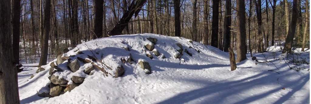
 So here is the first pile I spotted from the car:
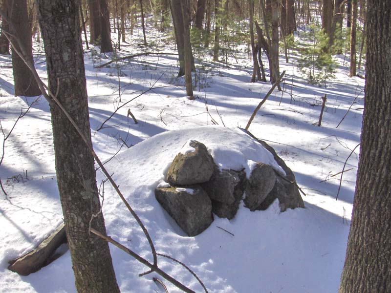 When I got to it, I saw another pile beyond and started getting hepped up.
 Unfortunately when I got to this pile, it turned out to be next to a trail (there were tracks in the snow) and clearly this had been tossed together by more recent passersby. However, I could tell from the lichen on the lower rocks that this was probably an original pile subsequently messed up by hikers. Here is another view, back towards the road and towards the first rock pile:
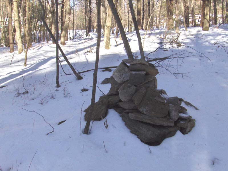 There were a few other very minor rock piles visible nearby, so this one larger pile represents only limited damage to a real rock pile site:
 So I continued in deeper (east) following the edge of the hill and the wetland. It was absolutely spectacular weather - still, slightly above freezing, all blue sky with no clouds. Walking mostly on the crust, occasionally ka-thunking through a few inches, it was like walking on cotton. And as I see more occasional rock piles...
 ...I am thinking "this is as good as it gets".
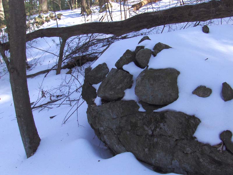
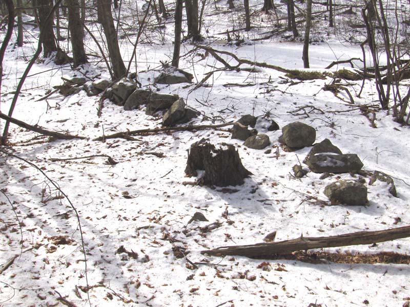
 Here was one final rock pile, perhaps the most interesting of the lot:
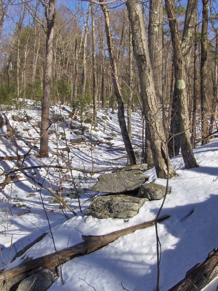 Perched carefully, as it is, at the edge of one of the little ridges, it seems intended to be visible. But I have no sense of any connection between this pile and the others. Something is going on along here but, actually, piles in such locations are not that common and, when I see them, they suggest trail markers but, of course, that is probably wrong. Maybe without snow some other clues would be visible.
 In fact this large boulder is propped up on a broken piece of rock.
  According to geologists, these large propped erratics were left here by the retreating glacier. It would be interesting to hear what scenario they would concoct to explain how a broken - sharp edged rock (obviously untouched by the glacier) got under there.Aside from that, common sense suggests that it would not be too hard to lever this thing around a bit.
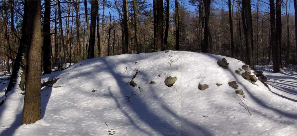
 In the background of the second photo you can see Rt 2 and also another white bump to the right rear. Although you cannot tell in the snow, nor can you see it from Rt 2, this second bump is a small auxilliary pile built on a rock. The main pile is not built on a rock.
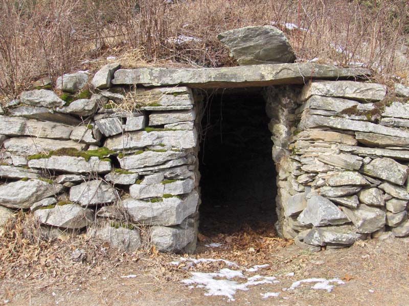
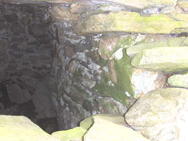
 Another new area of rock piles, including the above talus cave, was found by Larry Harrop near the West Greenwich/Exeter town line in Rhode Island. Click here for the gallery of new photos, including some very nice rock piles. The new photos continue to page 6 of the thumbnails.
 And what might this represent? This is from another place in Acton.
 Another like it, from yet another place in Acton.
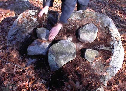 How about this masterpiece?
 It is pretty obvious that these piles are deliberately representational. This one is from Carlisle, on the Acton border.
 Walk eastward up a few of these gullies and you will soon come across beautifully constructed stone embrasures, made from the local schist bedrock which splits in flat plates. We met a woman earlier who, as a long time explorer of the woods around Great Brook Farm, had researched these and other structures in the libraries of Carlisle and Concord. It was she that directed me to the location of the embrasures, saying that the only reference she and her husband could find was to Bronson Alcott's "Farm in Lowell" which was part of the "Underground Railway". This part of Carlisle was part of Lowell at the time. She described underground chambers that I did not find, and the embrasures I did find would mostly be appropriate for a person seated but not prone. So I question that this explains these stone embrasures.
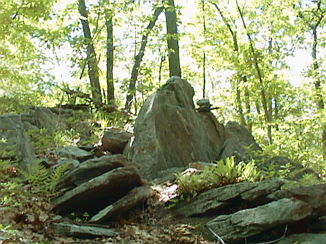 From the top of one ridge down into a gully there is a sequence of embrasures. Some overlook the gully at the top, some seem to define "stations" between the top and the bottom. Note the little cairn of rocks against the skyline in the first.
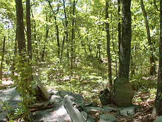 Notice how the second picture shows an un-enclosed space defined by three propped-up plates of rock, seats perhaps.
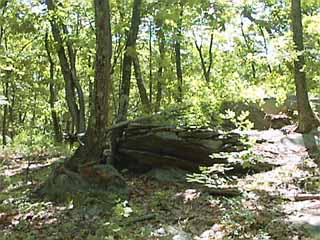 In the third picture, notice how the stonework blends so naturally in with the bedrock ridge.
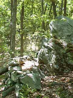 If you find this embrasure, notice the strategic placement of small bits of quartz or light feldspar, shining against the gray schist background. One light fragment locates the entrance (in the foreground of the third picture), one is at the center stone built into the embrasure. Another is a feldspar cobble lying loose in the dead leaves (lower left of the next picture).
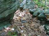 Take time to look at the shape of the central rock.
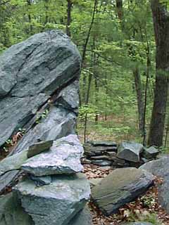
I have never found, but have been told about many other features at Great Brook Farm which suggest the sacred. Aside from the stone turtle, Great Brook Farm also has stone seats, indian corn grinding bowls and perhaps underground chambers. You might discover these yourself. Walk here, or in almost any woodland in New England, and with a little sensitivity and curiosity you will find locations that suggest a sacred use of the landscape in the past, and sometimes also in the present.
Carin of Power This spell is ideal for outdoor rituals. Perform it prior to any other stone rituals. For additional power during spells, select 10 or 20 small, round stones of approximately the same size. On the ground near where you will perform your magic, place the first stone. Say something like "a stone of power". Repeat this with the rest of your stones, gradually forming a triangular shaped pile of stones. You are fashioning a carin. As you place the last stone on top of the pile, say words such as " a carin of power" Now perform any magic. Such carins or stone piles seem to be collectors and reservoirs of power, and can help your magic. They can also be permanently placed inside your home or, with larger carins, outside on your property for protection.
 I went out walking twice over the three day weekend and did not expect to find much. Yesterday I succeeded in finding one rock pile (and a neighboring rock-on-rock) on the southwestern side of "Wayland Hills" - a conservation area. It was about 10 F degrees out with a stiff breeze. But in the trees, walking on a solid crust of snow, it was in fact a very nice day out. I was happy to see other cars parked at the trail head parking lot.
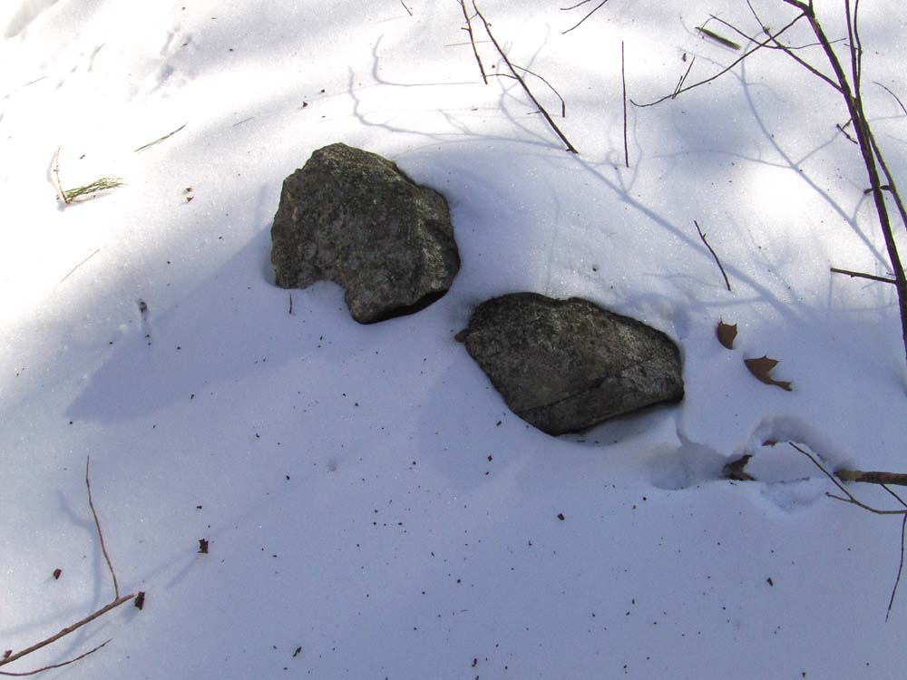 This small "site" sits at a place on the hill where you can look down a gully towards a wetland, across the road, to the southwest.
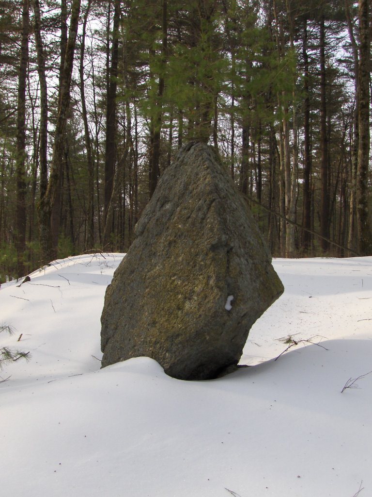 Maybe in the summertime it might be possible to see something else in relation to this. As it was, this was all I could see above the snow.
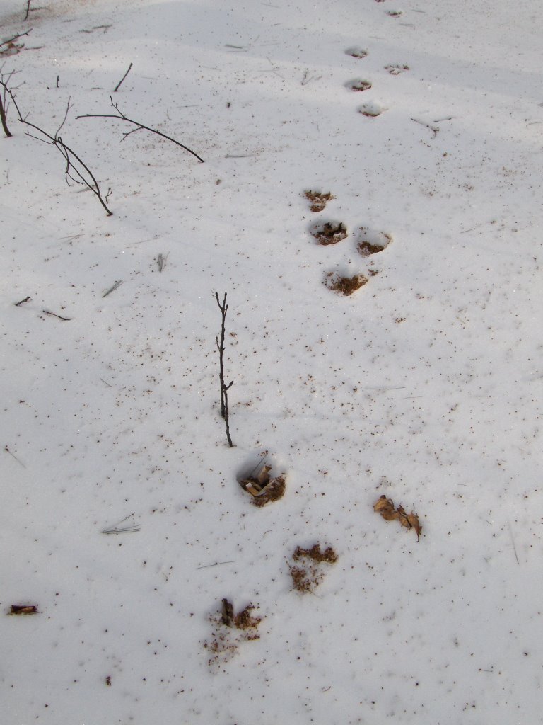 Fishers have become surprisingly common in the Boston suburbs. The fisher, a large member of the weasel family, used to be regarded as a very rare, deep woods animal. Now-a-days they appear to thrive in the woodland-suburban margin. Out yesterday in Harvard, three kinds of animal tracks were common: deer, rabbit, fisher.
 That is the first page returned by Google for the search term "Rock Piles"
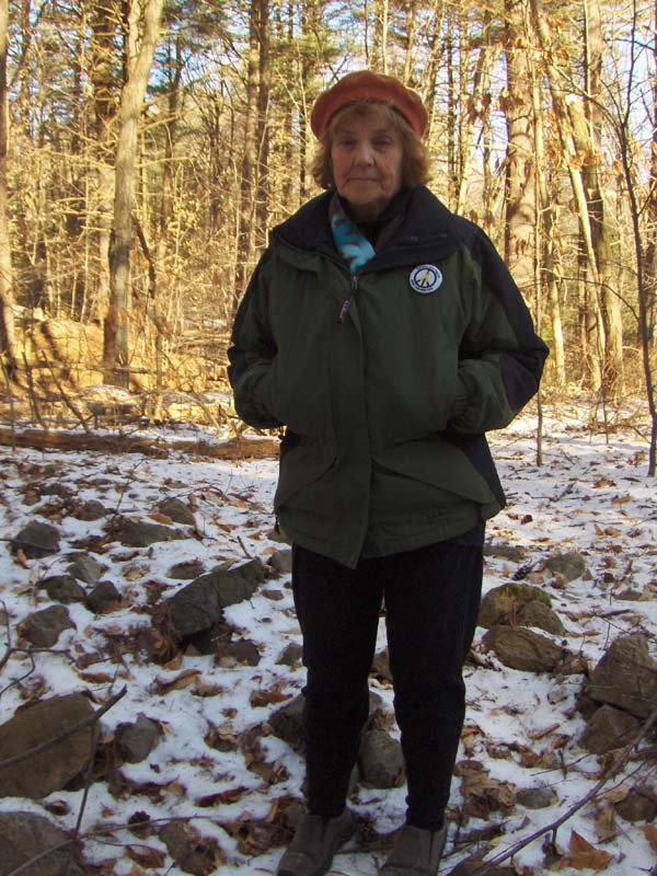 By way of thanking her for what she showed me, let me at least offer some free advertising for her flower essences business. Here is her Business Card.
 She brought me over to the northwest corner of the conservation land and showed me the biggest rock pile ever. This is about 50 feet from left to right, made completely out of broken bedrock:
 I think this is larger than the pile at Whipple Hill in Lexington. This pile sits in a hollow in the hill that looks for the world like a sand and gravel quarry. But the material of this pile is the same pink quartzite which, I think, is bedrock, not glacial till and so, not the material extracted from a sand and gravel quarry. Of course I cannot be sure what is what but certainly this is an interesting rock pile. Here is a view down the face of the pile, followed by a picture of the retaining wall at the far end:
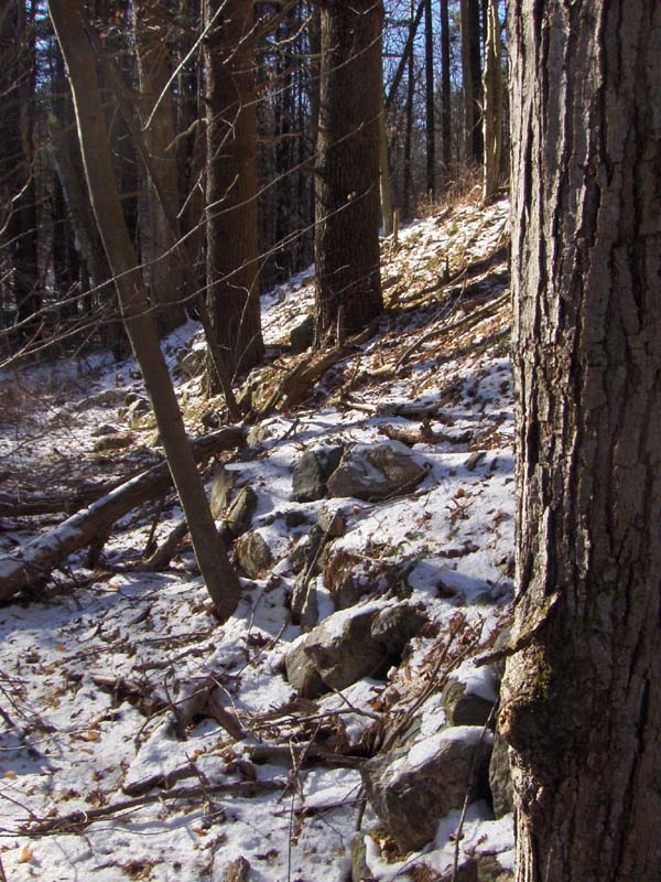
 Here are some other views from that direction (to the left in the first picture):
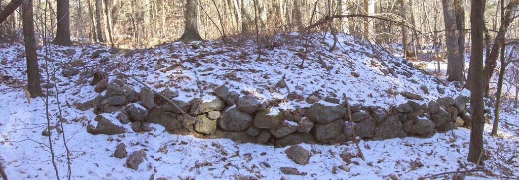
 The upper surface was pretty level but looks a little tilted in these pictures [The picture of Sarah Fuhro is from on top of the pile] . The retaining wall on the front part looked to have been caved in a bit:
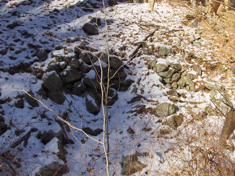 But there was some effort expended there.
 I should have payed more attention to these mounds. Sarah Fuhro thought they were moundbuilder-like. Perhaps she is right. The pile is facing southeast over a water source.
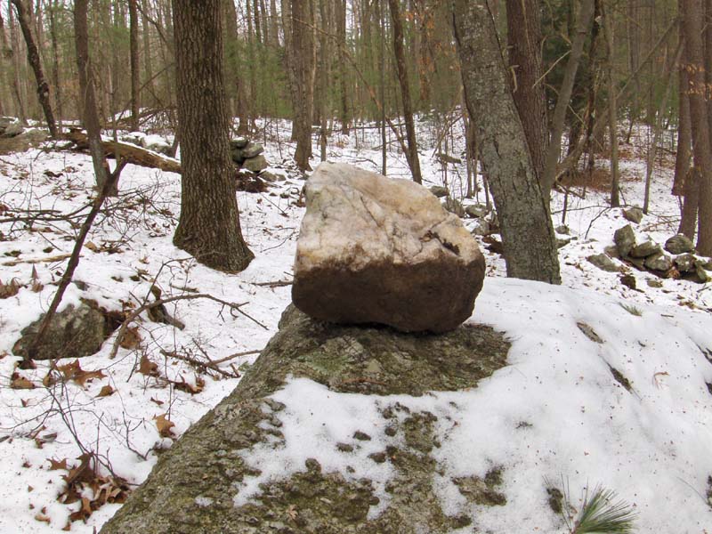 A couple of gateway-like piles:

 A slight higher ground within a vernal pond, and a short stretch of wall just there. This is from across the valley on the west side of Beaver Brook. No other walls are nearby.

 This one was published on p.282 of Manitou, where it is called the "Northern Chamber at Oak Hill". Here are some interior shots:
 (This is called "corbelled" ceiling, with the rocks arching closer together towards the top).
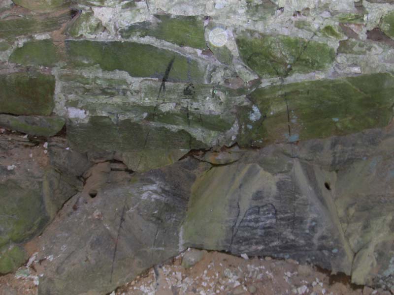 In this other view of the interior, the little black spots to left and right, slightly below the midline of the photo, are pictures of blast holes left in the bedrock. That certainly dis-qualifies this chamber as being ancient but, given the large amount or recent and even modern ceremonialism in this area (the valley of Beaver Brook and Rt 495) it is possible it was made by Indians living here.
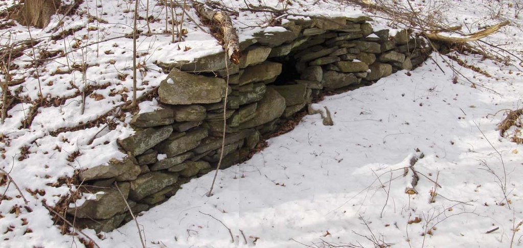 The entrance was blocked off in recent times to discourage kids from falling down in there.
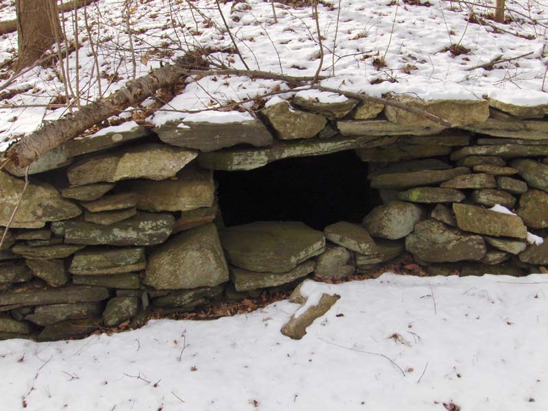 According to the landowner, this chamber was used as a cool storage place for milk. Well, everyone has a story. Here are some interior views:
 Although this looks like the first chamber above from the outside. From the inside you can see that it is not corbelled and that the roof is made of these large flat slabs. This style is called "Post and Lintel". Sadly, the proximity of these two chambers, so similar from the outside, argues against the interior (corbelled or not) as being significant or even a determinant of the people/culture that made the chambers.
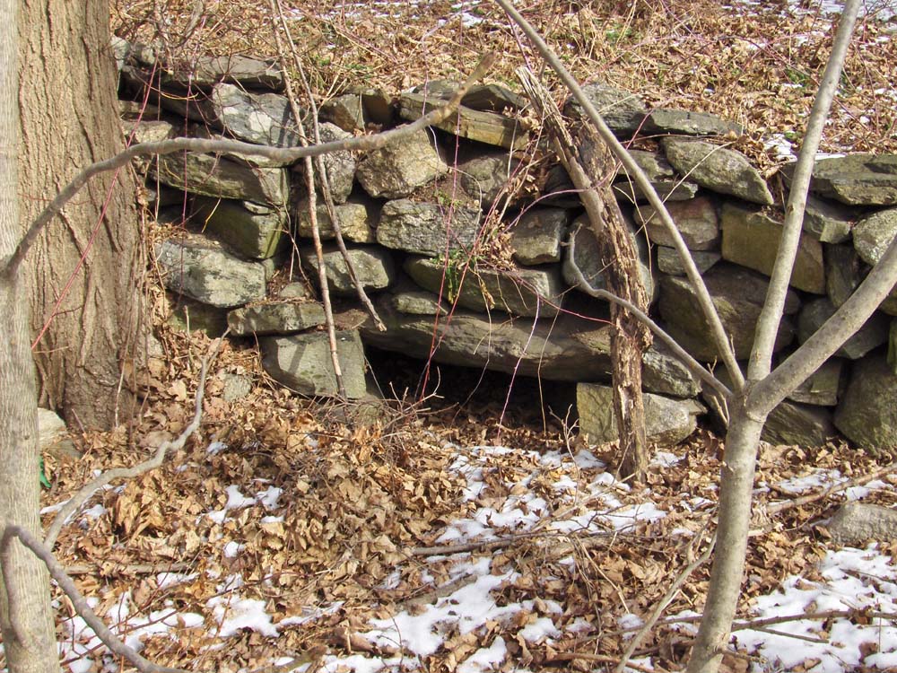 Could this be the entrance to a third stone chamber? I could not see far into it:
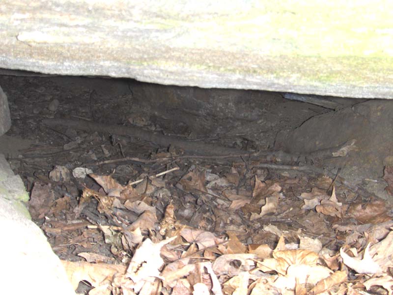 Perhaps someday someone could check it out. If it is indeed a stone chamber, filled completely with debris, it promises to be a pretty undisturbed archeological context.
![[Click here]](http://www.fs.fed.us/r3/lincoln/contact/archaeology/PIT/russia/russia_rockpile_chimneyhearth.jpg)