Reader Jon sends new pictures:
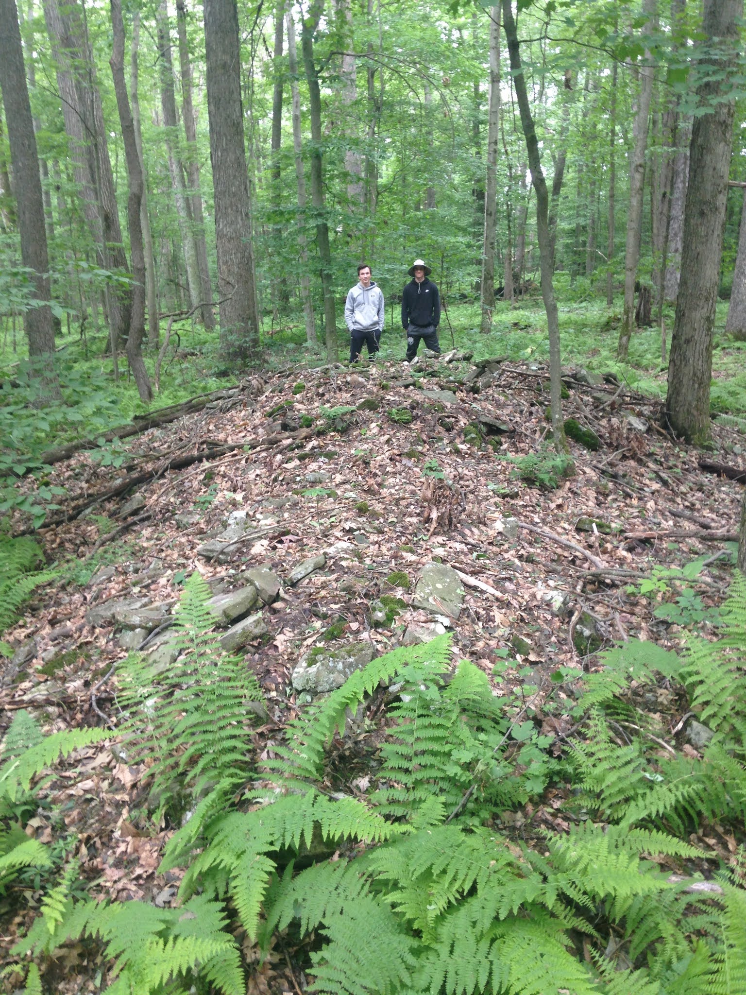
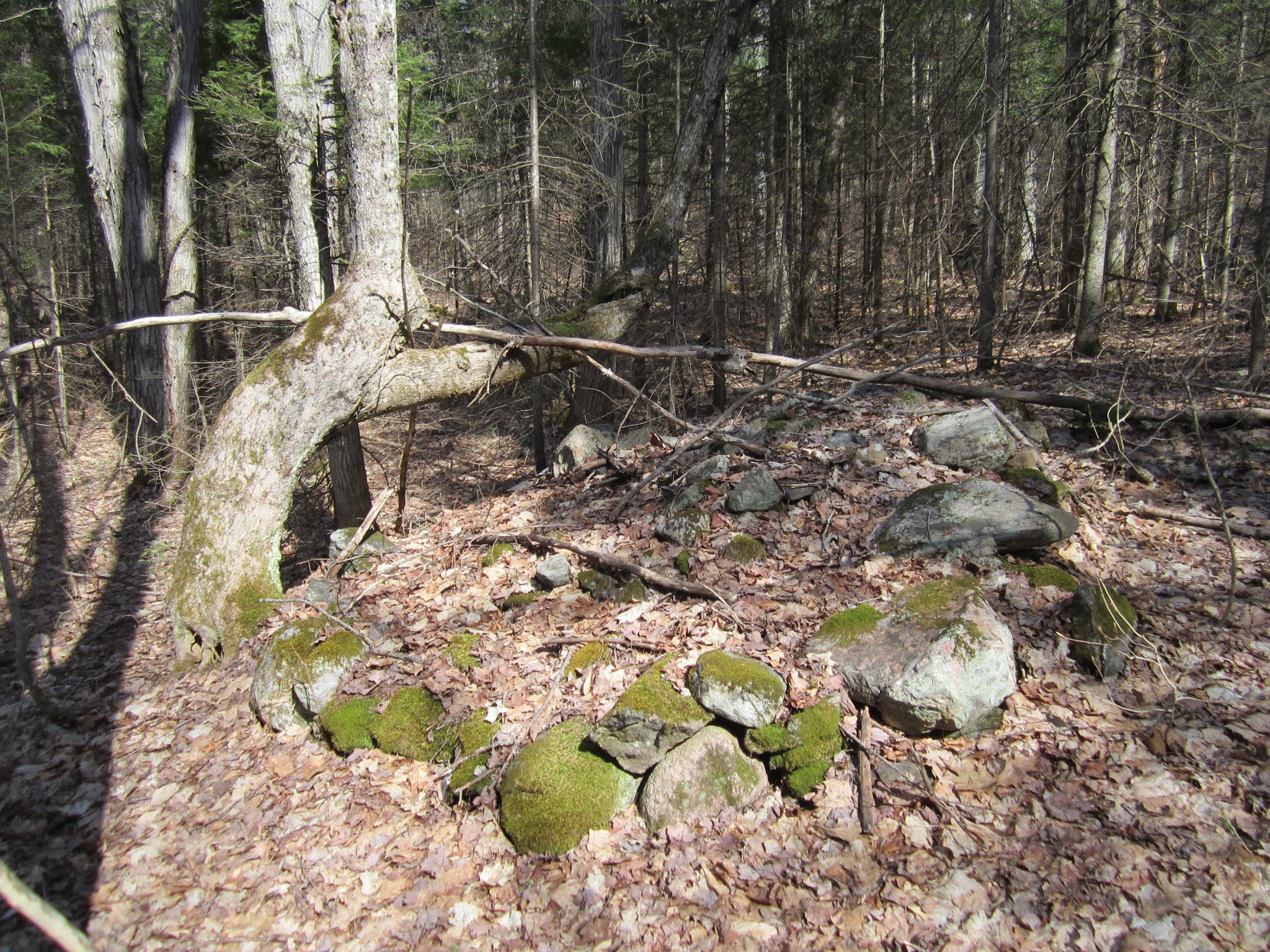
Here are some photos I wanted to share with you. Rock Pile A is images 1002, 1008 and (1009 from 2016). Rock Pile B, 100 yards away is image 1004.


Reader Jon sends new pictures:
Here are some photos I wanted to share with you. Rock Pile A is images 1002, 1008 and (1009 from 2016). Rock Pile B, 100 yards away is image 1004.
Note the dating of some stone mounds in Ohio, consistent with Oley Hills dates:
The 2,300 Y.O. Stone Pyramid Mound & Fort | Glenford Fort Preserve | - YouTube


Watch: https://fb.watch/6fxQG6CmSB/

“An underwater archaeologist from The University of Texas at
Arlington is part of a research team studying 9,000-year-old stone tool
artifacts discovered in Lake Huron that originated from an obsidian quarry more
than 2,000 miles away in central Oregon.
The obsidian flakes from the underwater archaeological site
represent the oldest and farthest east confirmed specimens of western obsidian
ever found in the continental United States.
The find in Lake Huron is part of a broader study to understand the social and economic organization of caribou hunters at the end of the last ice age. Water levels were much lower then; scientists have found, for example, ancient sites like stone walls and hunting blinds that are now 100 feet underwater.

“This particular find is really exciting because it shows
how important underwater archaeology is,” Lemke said. “The preservation of
ancient underwater sites is unparalleled on land, and these places have given
us a great opportunity to learn more about past peoples.”
https://www.uta.edu/news/news-releases/2021/06/15/lemke-lake-huron
Citation: O’Shea JM, Lemke AK, Nash BS, Sonnenburg EP,
Ferguson JR, Nyers AJ, et al. (2021) Central Oregon obsidian from a submerged
early Holocene archaeological site beneath Lake Huron. PLoS ONE 16(5):
e0250840.
https://doi.org/10.1371/journal.pone.0250840
Can any one identify the arrowheads here:


The "Rattlesnake Squamation/Scalation" Variation
I just watched this video from Mike Luoma of VT yesterday. We've been communicating electronically on FaceBook and I sent him this image below soon after viewing it:

A Horned Creature from 2008, and some H.R. Schoolcraft illustrations from the late 1800s:


New evidence may change timeline for when people first arrived in North America (phys.org)
[Research from 20 or so years ago at Monte Verde in Chile already changed that "timeline". Seems like the only people still promoting a 13K time depth for man in America are textbook writers and YouTube.]
Nohham Cachat-Schilling writes:
“MassDOT has determined that the best next step is to terminate the current construction contract and undertake a re-evaluation of the project design. The re-evaluation option is responsive to the nature of the public comments received, which asked MassDOT to consider alternatives that avoided the location of the archaeological site,” the notice said. “This re-evaluation will take public opposition into account as a key evaluation criterion for all design alternatives considered.”
Found on an island, wrong material but this looks like the base of a Merrimack (Stark) point:


I asked Norman Muller about his dating result for the Oley Hills. They used OSL (Optically Stimulated Luminescence) to arrive at a date of 2500 BP, for one of the terraces at Oley Hills. He wrote:
Yes, the Oley site is much older than Cahokia. I am of the opinion that the large platform stone mounds in the Northeast were inspired by the earthen mounds in the Midwest. Or maybe the influence went in the other direction! You are aware, of course, of that large geometric earthen mound in western MA (see LiDAR attachment; the mound is about 50 feet high and 200 feet long at the base; the top is precisely oriented to the cardinal directions. I visited the site with Timreck and Lisa Gannon).

Reader Joanne writes:



A reader writes:
Rock Piles contributors, especially Jimp:

Dr. Curtiss Hoffman will present a talk on stone structures to the archaeology club at Norwalk Community College, via Google Meets, at 7:30 PM this evening, April 29th. The log-in code is https://meet.google.com/bpu-
A stone wall-like roadside Snake Effigy, hiding in plain sight:


Curt Hoffman writes:
Sometimes, you can discover these sites without having looked for them. Yesterday, I was looking for a way around the construction on Edgell Road and Water St./Edwards Rd. in Framingham, MA to get to a destination, and I happened to notice on GoogleMaps the notation "Rock Pile" within the bounds of Nobscot Park, a small parkland maintained by the Framingham Garden Club. We checked it out, and there doesn't seem to be very much there, but I did note 2 rock piles associated with stone rows and a third unassociated stone row at the approximate locations on the map denoted by "rp" and "sr" respectively. There was no signage in the park except for a few Garden Club signs and memorials, and the stone monuments were rather far from the "improved" grassy area of the park -- I have no idea what the GoogleMaps citation was referencing.

Norman Muller writes:
A fascinating, well organized, and finely illustrated talk on rock art in Georgia and neighboring states by Johannes (Jannie) Loubser.


