*********[Continued from the previous post, see map]*******************
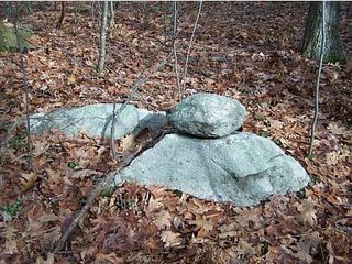
At the first place, we walked in along a dirt road which forked (not shown on the original map) allowing us to go up towards the col between the smaller hill to the south and the main Bayberry Hill. This col was one of the places I had thought would be worth exploring, and as we walked along I spotted a rock-on-rock off to the right.
 As soon as we got off the road, Bruce noticed one ground pile and then another. As we continued over a little outcrop dividing northeast from southwest, we came to an area of little puddles and rocks and a view northeast.
[It was at about this time that I discovered my digital camera was not working. I was able to borrow Bruce's but was upset to have my camera busted and also to have to go back and take photos again. All these photos here are screen shots from Bruce's Kodak gallery.]
Here are some of the piles.
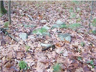
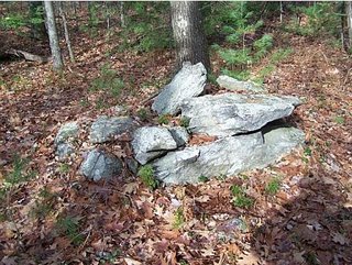
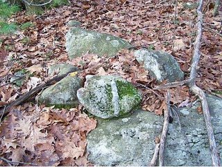
 This is a very typical Masachusetts woods and the view to the northeast looks so familiar but with these rock piles in the foreground.
 I particularly like this sort of thing:
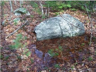 Maybe someone quarried a boulder here but I still think it is a small ceremony including the reflective surface of the upright piece of boulder, the little puddle, and the rock pile.
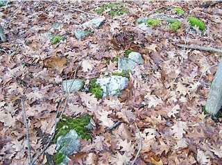
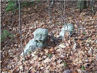
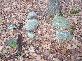 There were rock piles on both sides of the dirt road at the col. Here is a side view of the first rock-on-rock I spotted. Notice the additional rock to the right, I was reminded of pile-gap-pile and am half-convinced this is a deliberate gap structure.
 After this we got to the top of Bayberry Hill and saw little or nothing. Some signs of quarrying. In the end we circled around, revisited the col site, then made our way down and back out to the car.
*********[Continued in the next post]*******************
No comments :
Post a Comment