Tuesday, October 31, 2017

NEARA Fall Conference

NEARA Fall Conference
November 10-12, 2017
Warwick, RI

Register Today and Avoid the Time and Hassle of Registering at the Hotel and
Save Some Money Too!
(A $5 fee will be added when registering at the door)


Registration Deadline is November 6th!


Monday, October 30, 2017

Cranberry Hill, on the border of Lexington and Lincoln

Mostly private property, so I'll skill giving a map. This is a site I knew from long ago, when I remember thinking the place was very indistinct - with examples of piles shading away into outcrops. On this visit it all looked a lot clearer. I had circled around to the north and was in a flat place heading south, went up the ridge and over, down to the owner's driveway, then back up and down the valley out to Mill Street. There were piles all the way, with some classic rectangular mounds mixed in.
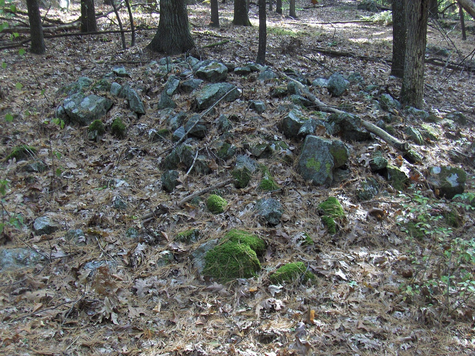
Here we are in the flat place. After most of an hour walking with few rocks visible, suddenly here are two clusters. One with small rocks, another with large ones:
A closer look at the first:
If you care to look closely, you will see it is a capital 'U' with a break on the left stem. Meanwhile the other pile has no structure that I recognize:
Since I walked right over it, I saw this third pile too:
 The view back towards the first two.
Then up the ridge to the west. Something is already peaking out from there:
Ah ha!
And more ah ha! This is now somewhat familiar, rectangular with a depression.
It is running downhill in an unusual manner but it seems to still be the familiar mound. Other views:
And here is another 'U' with a broken stem - this time with the opening facing us:
And over onto the ridge:
 View back towards first mounds.
And down below:
The other way:
and
From a distance another mound on an outcrop (this is right in back of the house):
Then we go back up over to the next valley, with more mounds on the way:


It is rectangular but is there a depression in the middle?
Seen from above:
Let's say goodbye to the valley as we head out to Mill Street:

Sunday, October 29, 2017

Photos from Our Hidden Landscapes

"Our Hidden Landscapes: Native American Stone Ceremonial Sites in the North American East" took place on October 28, 2017 from 9am-5pm at Shepaug Valley High School in Washington CT.
Dr. Lucianne Lavin
"Stone Landscapes in Pennsylvania and the Northeast" 
Tom Paul spoke about the Hammonasett Line and Norman Muller presented "Interpreting Row-Linked Boulder Sites from Georgia to New England."
Robert DeFosses spoke about the stones on his hilltop property in Harwinton CT, "A Sacred Place:"
(Above: Bob asked me to take some photos with his cell phone;
below: one of Bob's photos)

Doug Harris of the Narragansett spoke about 
Manitou Hasanik  and "Ceremonial Stone Landscapes:"
And especially of "Let the Landscape Speak for Itself"
Doug Harris pointing out the Manitou Stone observed by Norman at Turners Falls:
(Above: Institute for American Indian Studies photo)

James Gage took the stage:
Doug Schwartz was there:
Dr. Johannes (Jannie) Loubser (or as he introduced himself to two of my grandchildren, Doc Rock Lobster) presented "The Stone Piles of Jackson County, Georgia:"

Dr. Julia King spoke (but my photo was too blurry to put up here),  presented "Rethinking Indigenous Landscapes in the Chesapeake." She was followed by Dr. Laurie Rush who works for the U.S. Army at Fort Drum, New York. She presented "Indigenous Stone Features and Landscapes of the Northeast; the Need for Scientific Research:"


Dr. Paul Robinson, retired RI State Archaeologist, spoke of the "Challenges and Opportunities of Collaborative Research Projects; Working with Indian Tribes to Preserve and Protect Ceremonial Stone Landscapes." He was followed by Charity Moore Weiss and Matthew Victor Weiss, who presented "Stones and Their Places; An Application of Landscape Theory to Ceremonial Stone Landscapes of West Virginia."

Paul Loether of the National Park Service conducted a lively discussion to end the event: