Tuesday, June 17, 2014

May 26 finds

     I had a little bit of time on a Sunday afternoon. I drove to a place where I have found a few nice things before but where I hadn't really spent any time this year. I parked my car and then walked for a while to get to a place near a lake where there was lots of exposed ground for me to search. On the way there, the landowner saw me and smiled and waved. He used to be really suspicious of me but I have been searching there for years and he trusts me, now. Asking for permission to search on private property is the most nerve-wracking thing about searching for arrowheads. Many landowners are reluctant and some give a flat "no" but some can be persuaded with some politeness.
     The weather was beautiful. One of those perfect May days. I was happy to have a chance to take a walk and had little expectation of finding anything, I didn't really care if I came home empty-handed, it was just nice to be outside. But I had some luck! I saw this from a mile away.
      Arrowheads do not get much easier to spot than this. Here's a closer look.
     It's a perfect little gem, a Squibnocket Triangle, slightly larger than the one I had found a few days before. Still very sharp.
     I didn't expect to find anything else but... not far away...
     It's really small but it was still easy to spot. Very unusual to find two points totally exposed and just waiting to be picked up like that. I got really lucky. A thrill for me.
     The pictures do not show it well but the material on this thing is awesome, pale gray-green and translucent. I'm not sure if this is a chert or something more exotic- perhaps mylonite. It's really pretty. My typology guide calls these narrow triangles Madison points.
     I found these about 30 minutes apart. Really exciting! I found a broken piece of worked argillite also, not worth showing. A productive day.

Monday, June 16, 2014

Northwest side of Crow Hill

This is the hill (in Westminster) whose eastern side is a popular cliff for rock climbing. I slogged up the northwest side of the hill, through class B laurel and saw only this. I am not in good shape and lay panting on the ground to take the photo:

Nesting Goshawk

[Not rock pile related] Came across an angry territorial goshawk, which I would have thought was a smaller Cooper's Hawk. Except I have one of those nesting in my yard and this was just slightly larger, grey, and had a deeper voice. So it must be a small goshawk. I wonder if this is a small for any sort of distributional reason? I note that, according to Peterson, goshawk nesting range is extending southward (although not including Mass. in the maps of my edition).

May 24 finds

     Well, I have fallen behind in posting my finds again. I have been getting out there and finding stuff in my free time but I just haven't had a chance to sit down and type up a post and now I have a bunch of stuff to show. Rather than put everything in one big post I am going to break this up and show a few finds at a time and hopefully by the end of this week I can be all caught up.
     May 24 was a lucky day for me. It had rained quite a bit in the preceding days and it was a nice cludy day, bright overcast, perfect for searching for arrowheads. I drove to a favorite place and found plenty of freshly disturbed earth where I could look. There was a large area that had been very recently stirred up and then rained on, and a narrow strip that had been moved around some time ago and gotten a lot more rain. I searched the whole big area but these finds were in the narrow strip that had been rained on a lot. It takes a ton of rain to really wash off all the rocks on a fresh surface.
     This was fun to spot. A quartz point, just missing the tip. This is the shape variously called small stemmed, Wading River or Squibnocket Stemmed.
     Not whole, but still pretty. This is in a place where I mostly find triangular arrowheads and it is nice to find a stemmed form in that place from time to time.
     A few feet away I bent down to pick up a tiny piece of quartz barely protruding from the soil. 98 percent of the time this will just be another chip or flake, other times just a natural piece of quartz, sometimes I get lucky and it is something like this...
     It is a Squibnocket Triangle and it is pristine and nicely flaked. I find a few crude examples for every finely made one like this. It had been a while since I found a nice whole arrowhead, I am very happy with this pretty little gem and feel lucky to have found it.
     My friend Dave came and met me out there and we drove to check out some other spots. We went to a place that has been a grassy meadow as long as I can remember, now being ripped up. It was nice and sandy but the conditions were terrible with few rocks visible and the walking was strenuous in the heaps of dusty sand. After a few minutes, Dave was in the middle of saying "Let's go, there is nothing here to find" when he spotted this diamond in the dust. Some damage to the base but still a nice find. This is at least the second time Dave has found an arrowhead while in the middle of proclaiming there was no chance of finding anything. Not only that but in the weeks since I have searched that place more thoroughly and not found one more thing!
     Dave really has some luck. In a different place, earlier this spring, he was metal detecting near a riverbank when he found a target. He stuck a shovel into the ground and pulled out a plug of sod and this monster popped out of the ground!
     That's a Mansion Inn blade, broken at the base but look at the size of that thing! Incredible find. The target he detected was a piece of 20th century trash that was actually underneath this huge artifact, obviously this place had been disturbed in the past, I assume by farming activities.

Friday, June 13, 2014

Two Similar Possible Turtles

A photo from my yard, and a photo of Peter's, showing perhaps an amusing coincidence, or perhaps intentional artistic placement of stones to recall a turtle...

Wares Rd Ashby

At the southern end of Willard Brook State Forest, a winding old road and interesting topography, made this seem a good spot to explore. Parked at the bend in the road and stepped directly into a rock pile site.

Looking back at the paved road, note the large rock underoot.
A closeup

Walk in along this road and there are rock piles on either side.


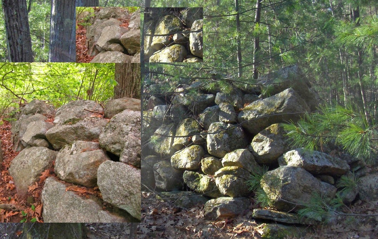
The site consist of the broad shoulder, with the road climbing gently and 20 or so piles; old, and leaf-covered. Not much structure after all this time.

This sort of layout, in this part of norther Middlesex, usually is accompanied by my favorite "prey" of larger rectangular piles with interior hollows. So I went looking to the uphill side of the site, left side of the road, up against the sharper rise of the ridge. Was this what I was looking for?
Someone built something on top of this pile, so I was discouraged that it was not what I was looking for. But I continued north along the side of the ridge and came to other examples - some more than others. This pile was the clearest example:
But there were others that I am convinced are man-made structures, along the same landform (and possibly also on the south side of Wares Rd on the same landform):
I don't know about the rock with the drill hole but the other features of this site are typical: a scattering of low ground piles, more or less evenly spaced, with some larger rectangular mounds at the uphill edge of the site.
I lost my camera here a few weeks before. The replacement camera has a fresh lense and a whole mess of internal settings I need to  play with. But it works about the same as before. As I look at the map, knowing that it is hard going through class B mountain laurel, I still want to explore more thoroughly in this area. It is easy to get turned around in there and even short distances can be tiring.

Thursday, June 12, 2014

Brooks and Quartz in Ashby


Rhomboid Stones

 
  The above PWAX photo inspired this bit of blogging about another repeated pattern I've lately been observing (and am on the look out for) in identifying Indigenous Stonework:

Wednesday, June 11, 2014

Laurel in Ashby

Thinking about writing more on Wares road. Let's pause:
or 

Tuesday, June 10, 2014

Stone Beehive from Medwy/Holliston

Read Matt H writes:

I found this by the Medway/Holliston Town Line.
 
There is a entrance to the woods....  When I first walked up to the shrine I thought it was a cairn from behind, until I walked around it.  Since finding this unique structure I have speculated I have seen destroyed versions of this same style shrine in at least 2 other locations- note that the quarried stone would have appealed to a colonial/19th century farmer/home builder, most unfortunately.
While walking up to the site of the shrine, there is a hill with an impressive large cairn field and other boulders- this is on the other side of the street from the Charles River, and there were lightning strikes on the ground literally everywhere, indicating a place of natural high energy.  Feel free to post the pic w/ comments.  With reverence...

Monday, June 09, 2014

A few little scenes from the Acton woods

Trying out the new camera. Not sure about the right settings but nothing works well in bright sunlight. Without attempting a systematic description, there is a site I call "Midway" between Nashoba Brook and Spring Hill. There is another I call "High Davis Rd". Although they seem to be at opposite ends of a large conservation land, "Midway" and "High Davis Rd" are in fact contiguous. I guess the roads bend around, and there is bit of a "missing link" consisting of a few piles visible from either place. So it is all one big site or, if you prefer, many small ones.
In the bright light, here are some photos. One from "High Davis Rd":
A small group between here and there.
And a few piles from the western edge of "Midway". [These names won't mean anything to you but the Acton Land Stewards are getting closer and these sites will presumably be added to the trail system and acquire new names. Maybe the stewards will stick with quaint flower names. A way of dogging the issue of identification. I only mention this because the sites already had names given to them, including the new "Plantain" rock pile cluster. ]

Here, I noticed many with one larger rock (which is a little peculiar to this one place, between the "between"s in these woods). Got hard to ignore after a while.


Dappled light or not, I think this is an important type of pile to recognize.
The larger piles, semi-rectangular with hints of hollows, start a little east of here.

The new camera seems OK, wait for better lighting.

Saturday, June 07, 2014

Comments on the College Rock area

From reader Matt H:

Hi I saw your post on your blog about the College Rock site.  I would also like to add that at this site:

-There are dozens of cairn fields loaded with cairns. The cairns here are at least in the hundreds, possibly thousands
-There are numerous Petro-forms
-An impressive Rock Shelter
-Many stone walls that incorporate boulders, stone effigies and other stone work into their design
-Various caves (underground rooms) of tectonic origin (but still significant) of various sizes (all on a smaller size though- kind of goes w/ the region
-Partially destroyed U-Shape structure(s)
-Dozens of partial dolmens and Propped Boulders
-A Shaking/Vibrating rock (that weighs many of tons) that was split from and precariously placed on top of a larger boulder platform- this rock will shake and vibrate the ground/ rock back-and-forth with the push of a hand
-Numerous stone effigies gods
-A hilltop enclosure with stone effigy god on the other side of Rte 85 in Milford (access to this from the bike trail)
-Other various stone work.

Also, the conservation area is in Hopkinton, Holliston and Milford, respectively.  There are also other things associated with the site not in the park, that have been "broken up" from the conservation woods due to development/ etc., such as cairns/etc. on the other side of  Rte. 16 by the Holliston/Milford town line.  Also note that the "George Washington" stone you posted on Rte. 16 can technically be viewed as part of the same area, it just happens that there was development in that area which breaks it apart from the Conservation Woods.  Before our modern day, this was all one big, connected ceremonial landscape that the ancestors of the Nipmuc, Narragansett, and other people originally from the Eastern sea-board lived in, it was a different world.
I assume you have been to the Upton Chamber before (also in the general area).  What about Peppercorn Hill in Upton? 
I also know of a place nearby to this area that has an impressive cairn field going up a hill, with an above ground stone shrine incorporated in the hillside (the sun moving across the sky horizontally from this).  The shrine looks like a stone igloo, one of the more unique structures- I showed this to a friend the other week but am not sure if anyone else knows of it's existence- this is very significant.
There is also more stuff behind the golf course in Holliston (a propped boulder resembling an Indian Head with offering stones, cairns, etc.)

Have a nice day.  Let me know if you ever want to go for a hike so you can record some of this stuff.

Wednesday, June 04, 2014

Old Baird Road Rock Pile


Watertown CT - the surveyor's tape complicates this one, at the edge of an old apple orchard. I think I see lots of re-built linear walls in the area, but I also came across a carefully made zigzag row of stones with chestnut rails rotting away on top of them, sort of the reverse of rails first and stones tossed up against them. Most of the photos came out all fuzzy and out of focus so I need to return to capture some good ones...
A certain "point stone" of a segment bears some resemblance to a possible rattlesnake effigy:


A segment of linear row with some possible Indigenous elements, placement to resemble heads and a sort of shelf-like thing going on:
Possible structure of row of stones possibly linking outcroppings on the other (east) side of the old road:
The bird's eye view where linear shows well: http://binged.it/Td8VyX,
that's it again in the center of the GE capture:
1991 GE Image of wider area:

Tuesday, June 03, 2014

Piling Rocks - Belief and Ritual of Crater Lake

Alyssa Alexandria RunswithWolves Photo

     "And after swimming and camping and keeping awake all night piling rocks and breaking up twigs and tying them together till daylight [then] they would sleep. They sit down and slept, then they would dream. And whatever they dreamed of, Grizzly Bear, Black Bear or Wolf, Coyote, Skunk or all kinds of birds. Whatever they dreamed of became their medicine and they doctored with it and snakes, fishes[,] everything became their medicine. (Curtin, n.d.) (2)"