So a couple of days later I was on my way west on Blacksmith Shop Rd (returning from an unsuccessful exploration) and, just before it joins the Service Rd to the wastewater facility, saw a small valley with a stone wall and thought it was a likely spot to take a quick look. Stepping into the woods and over to the wall I was thinking I had been here before and that there ought to be a pile right next to the wall. A moment later I found that pile:
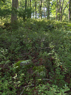 This is actually a pretty big pile - ~three feet high, ~eight feet across. Its placement next to the wall, and the way the valley gave way to surrounding hill reminded me of the layout of the Brick Kiln Rd site, so I followed the wall a bit uphill. Previously at this location I had only seen the single pile next to the wall, so it was a happy instinct that got me poking around more carefully in the bushes nearby. There was a rock pile uphill along the wall
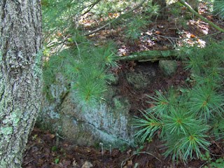 and then two or three more piles deep in the bushes. You had to be looking hard.
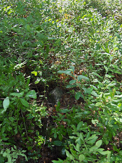 I enjoy the way they look in the blueberries. I feel that, like other sites in Falmouth, usually inside kettle holes, these sites are basically calendrical.
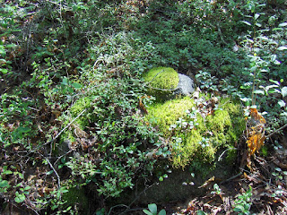 I hope time will tell. Now that some (or perhaps most?) of these sites have been located, maybe I can map them or someone can study them and learn more about them. For now it is mostly just an aesthetic and the pleasure of finding a site. Here is a view down into the valley:
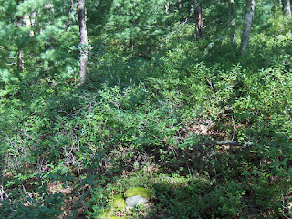 Too much overgrowth to see more than one or two piles at a time.
1 comment :
I keep coming back to look at that old turtle - red eyed, he's a grandfather and I wonder if his kids and grandkids are colored the same. I wonder why you ask if he's right handed _ and wonder if he's got 3 or 4 toes.
Interesting about the stone rows, the relation to the piles, and especially the blueberries. Talk about "grooming," imagine 300 or 400 or more years ago, the landscape fire groomed as so many write about, like Kathleen Bragdon's "Native People of Southern New England 1500 - 1560".
She also talks about Shaman assissted by Thunderbirds and Turtles, as well as holes into which goods were sacrificed; that didn't seem to make sense, but then you've observed lots of the piles in kettle holes and it makes me wonder if that maybe what observers were writing about in the early documents, confusing a glacial kettle hole with a human made hole - an ironic twist considering all the glacial erratic vs human moved boulders etc.
I keep trying to find some of these places with the bing maps, but there seems to be less close-ups of the Falmouth area than say around here (where incidently the kettle holes are filled with water, here in the Pomperaug watershed...
Post a Comment