Between George Street and Hawthorne Brook, is essentially non-stop mounds "with hollows" including standard variations such as: free standing "pyramids", decrepit piles with tails (of more than one variety), double- and multi- chambered mounds, wall corner mounds, and large pavements. To me this suggests the site was used over a long period of time. Notably missing were the smallest form: the "lazy 9s", boxes, and other 8 foot across varieties. Also missing were the sort of well built "cairns" that one finds up north in a cluster around a spring, or in a group along a trail. I did not see any single rock-on-rock or split-wedged rocks. No propped boulders or prayer seats. So one thing that distinguishes this Hawthorne Brook site is that it is a very "pure" signal.

As you can see from the map, this is an area of little knolls and small brooks. It is very rocky and as soon as you drive in there you think: "man! this is good-for-nothing/perfect-for-rock pile territory". It is not clear how these woods might have been used in colonial times, except the land is too rocky to plow. There were no cedar trees to suggest it might have been an open field, so my guess is that it was a wood lot. It was easy walking throughout, with blueberry bushes between oaks. In any case I think this area saw light land use, because the mounds were more or less un-damaged. Some were more decrepit than others - providing an opportunity to establish chronology.
I'll just show the pictures and make a few comments. First we went down into a little valley with low piles hidden in the saplings, then along a trail to this beauty, a rounded pyramid:

And another mound closer to the top of the valley. Note the style is different from the previous mound.


Along the same ridge but on the back slope, this older form, pile backed by outcrop:

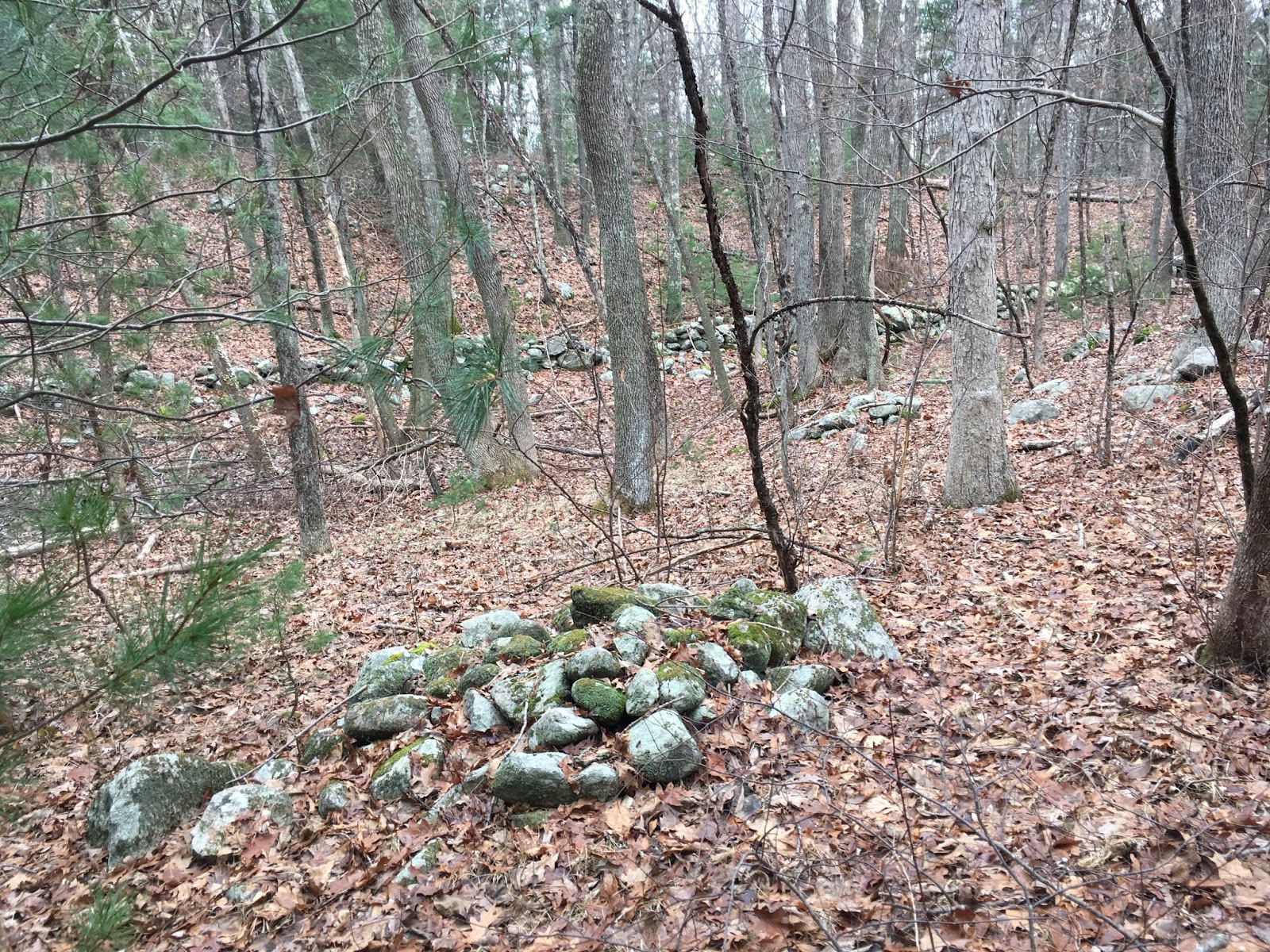
A typical wall corner:


Another archetypical rounded pyramid:

Part 2 and Part 3.
No comments :
Post a Comment