Monday, April 27, 2015

Townsend Hill, Pepperell

Not easy getting over in here. Lots of woods but agressive "No Tresspassing" signs blocked my plan:
I have been over here once before, parking on Warner Rd. This time I gave up on my first parking place and drove around looking for somewhere I could get into the woods. Found a "Nature Preserve" down the road a bit (Locke Rd) and got in from there.
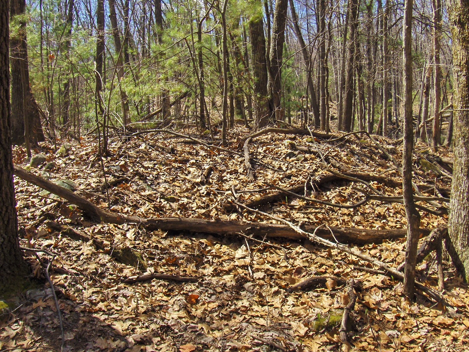
Saw this and it looked like something - a little crater surrounded by surface rocks:
Aside from that, I just followed the brooks uphill and northwest. Kept going till I ran out of brook, and then went all the way up to the top. This area is full of deep north-south valleys and steep ridges; rising 50 or so feet about the valley. In this case, "top" means the top of that next ridge.
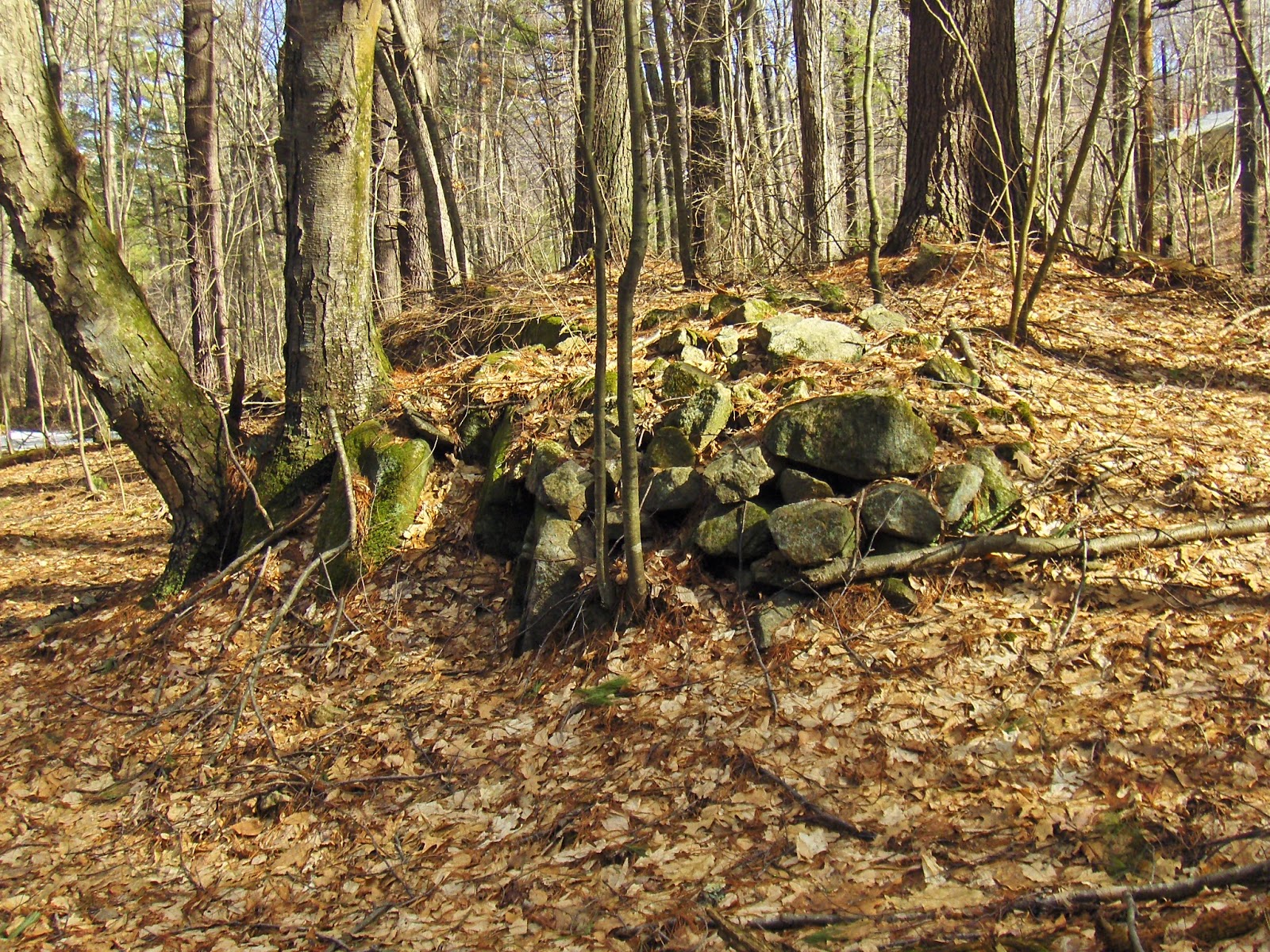
You see lots of stone walls doing interesting things but not much else. Here the wall ends, and a solitary rock pile occurs at the same place:
After 20 yards or so, there is another rock pile in line with the wall, and then more wall resumes.
At the top, I sat down on the backbone of the ridge and looked around wondering what I might notice.
First I notice someone built up some loose rocks on one side of the bedrock (left side in this picture). Then I noticed more loose rock trailing off from this "spine" and ending in a shapeless mound with a hollow on top:
It is too bad my pictures are not clearer as this was the most interesting (almost the only) feature I saw on the walk. Other views:
 Note it came to a sharp corner - at some time in the past.
(Another shapeless view).
So a mound with hollow that was more triangular than otherwise. This tells me that, at least in this part of Pepperell, the interesting things are on top of the ridges. There was little of note along the brook. So after this I explored other ridges for a while before giving up and heading out. The first ridge with the rock pile had this at its southern end:
A different ridge had this on top:
Also saw this somewhere in there:
There were a few other signs of activity but nothing fresh. This part of Pepperell, like much of the town, had a kind of darkness and gloom. It does not seem as if much ever happened in these woods.

Thursday, April 23, 2015

An Historical Analysis of the Smith Farm and Stone Mounds, Rochester Vermont

From Norman Muller:
You and your readers might be interested in this article of mine which will appear in the next issue of the NEARA Journal:
http://rock-piles.com/Muller,%20Smith%20Site.pdf

Tuesday, April 21, 2015

Barker Hill Townsend

Here we are on top, where a road traverses north to south:
Not too sure what the stone wall is doing there but there was some rock piling going on in the vicinity:
There was also something larger...damaged...hidden:

Sigh

Random bit of forest floor - Shirley

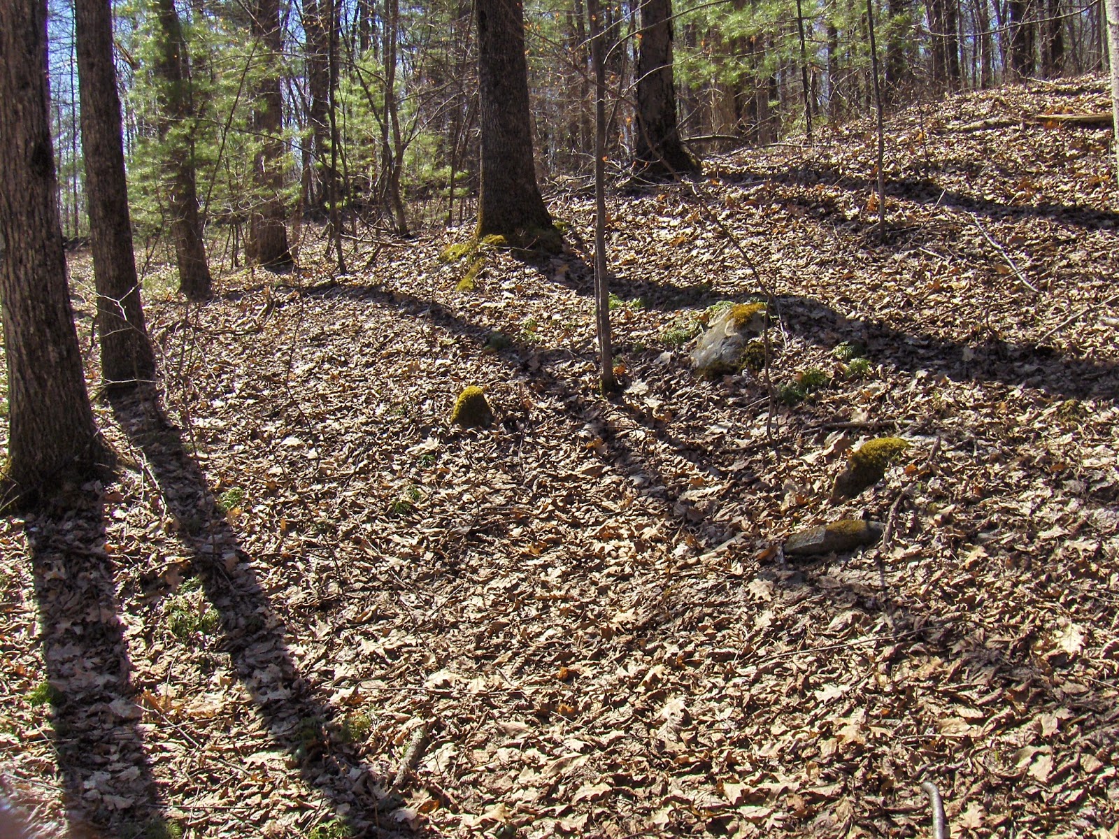
Our woods are full of near invisible things like this:

First snake of spring

Two weekends ago.

Monday, April 20, 2015

Isolated Pile by the water

A bit of water between the hills just south of Holden Rd Shirley. The area is full of rock piles but how many times have I passed this place (2 or 3 times before) and not seen anything? 
I only noticed it this time because I sat down a few feet away to catch my breath. After a moment or two I spotted it:
These piles can be very easy to miss.

A Bow-shaped Wall of Stones (Mahwah NJ)

By Mark Di Ionno | The Star-Ledger
April 19, 2015

   “On a low-lying bank of the Ramapo River are the tribal ceremonial grounds and long house of Ramapough Lunaape people. The long house is constructed of tall, weathered logs, carved with freshly painted masks that symbolize the spirituality of man and its connection to the earth.
   Closer to the river is the tribe's altar; a bow-shaped wall of stones that grows each time a person adds another rock. Dwaine Perry, the elected chief of the Ramapough Lunaape, explains that each of the thousands of rocks represents a prayer…”

Friday, April 17, 2015

Miscellaneous isolated stone structures from northwest Upton

Some isolated finds from the previous two weekends: 
Number 1
This was on my way to the upper Miscoe site.

Number 2
These were on my way back from there:
Number 3
A pair of structures:
closeup

Number4
This was on my way back from the hillside site of this report from northwest Upton. I climbed to the highpoint of water and started into the outcrops framing the ridge. This was on the right:
 This was on the left:
 A closer look:

Recently announced stone architecture complex in Chambers County, Alabama to be described at April 19, 2015 lecture

Via "The People of One Fire" [click here] With this sort of "official" awareness growing in southern states, I hope it will gain traction up here in the northeast. But when will a major academic archeology publication ever publish a significant article on our stonework?

North Street Upton along Warren Brook - on the way to a walk

Driving along, I see woods and think: "I would be surprised if there were no rock piles right in there behind the saplings." On North Street, everywhere you have that impulse, it is correct. Not sure of the exact locations, the red outlines are approximate positions of several different sites I saw along there, all with features quite similar to Miscoe Brook and other sites from further up the road.
Taking a quick look behind the saplings at the southernmost location, along Warren Brook:


 Note the hint of rectangular:

A bit up the road:

 Some quartz:
A larger quartz boulder in a broken down linear structure:

 view southeast back towards the road
view north with brook to the left:

Thursday, April 16, 2015

Wednesday, April 15, 2015

Headwaters of Miscoe Brook - northwestern Upton

Some sites are more poignant than others. Often, as with the previous site report, you find a whole collection of rock piles without any evidence of an overall architecture - possibly because it is many sites grouped together with no clearly defined entities to grasp mentally. Or perhaps with too many old and decrepit piles that are blurry and leave no clear impression. Other times you have a mixture of different kinds of rock piles, each in its place, within a reasonably small area, creating a sense of overall site architecture that can be understood. Perhaps this is why some sites are more attractive and leave a lasting impression. Perhaps it is the place itself. These are the sites I would most recommend visiting.
At the headwaters of Miscoe Brook is one such site, occupying a flat bench next to the brook, containing a single boulder with a well built rock pile on top; surrounded by several smeared-out, semi-rectangular, larger mounds. It looks like a burial ground to me. 
I found the site by planning a traverse west from the parking spot on North Street (next to the Mass Pike). I had a map ready with several specific destinations marked in that direction: every summit, every saddle, and every brook. But I forgot the map at home and basically cut west following the highway for a while, then went southwest for a while. I did not see anything and when I came to a brook, following it downhill seemed like a good idea. [Later, at home I see my planned trail would have crossed the site.] Anyway, I was stumbling along and saw this, across the brook:
[Click to enlarge and you'll see a pile on a boulder.]. Let's have a closer look:
See the larger smeared mounds in the background? Looking back from one slightly upstream:
Looking back from another:
I could not make anything out of the smeared structures. Perhaps cleaned of debris they would be easier to see. There were others, even more broken down, on the downstream side of the boulder:
This bench by the brook creates a strong sense of place and site layout.  

Not much more to see. I few smaller ones downstream around the bend:
A few uphill in a small cluster:
I poked around a little more downstream, and across the brook, and found a little more.
A linear mound (remember the large mound at the top of the site in the previous report?):
Some nice piles.
The place made me sad.