 I was looking at the topo map for Bolton, having found the Bolton Conservation Land maps on-line, and noticed a likely place near another place where I found rock piles in the past. Where should I expect to find rock piles in there? Right at the confluence of the brooks. I went there Saturday in the rain. Walking up the trail and up the common brook from the south, I started seeing small rock-on-rock and other typical "brookside" features, looked around, and realized I was already at the confluence. The site continues a hundred yards or so in all directions and, in particular, continues up the hill between the two branches of the brook. I was mostly pre-occupied (and I still am) with the new camera technology, so attention to the details at the site itself was at a minimum. But I got a couple of nice pictures. Here we are looking upstream towards the confluence.
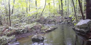 My old camera can take decent pictures occasionally.
The piles were small, on supports, and mostly seemed to be grouped with rock-on-rocks. I have never seen so many rock-on-rocks. They appeared to be functioning in various ways such as being part of little groupings:

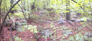 or being part of a line of rock-on-rocks connecting one part of the "site" to another.
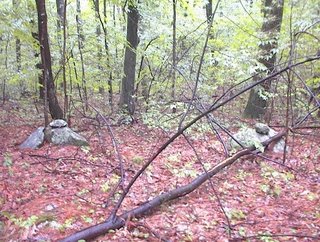 [and I already showed you this from the new camera].
Directly up from the confluence, and between the two brooks, is a wetland full of little things which were hard to photo on a rainy day under the leaves.

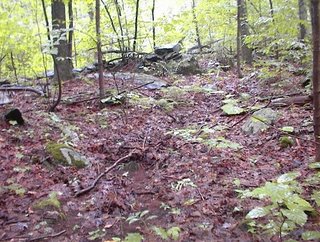 For example this last photo shows a very minor gully with a pile above it, looking down on it. As you walk through the wetland, keeping your eyes open, everything looks manipulated and re-arranged.
And there are some nice piles in there. Delicate little structures:
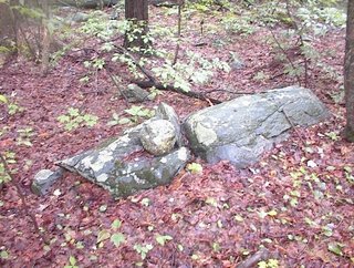
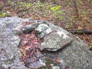 It was raining the whole time and difficult to manage an umbrella, two camera, etc. So I came back out after getting a sense of the scope of the site. The next day I went back and explored uphill.
1 comment :
Far right stone appears to be a manitou stone.
James Gage
www.StoneStructures.org
Post a Comment