The first one we visited was a site designated R7-1, which is off West Hill Rd. This site has some 100 cairns of various shapes and sizes, many of them large and impressive. We started uphill, where we encountered a long cairn called the "Boat," but which to me looks more like a crescent when viewed on end:
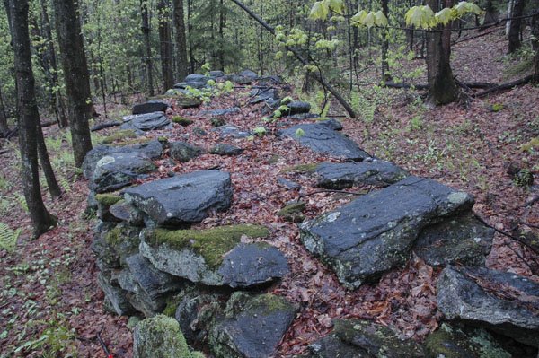 In the middle of this and on top are two large slabs of quartz
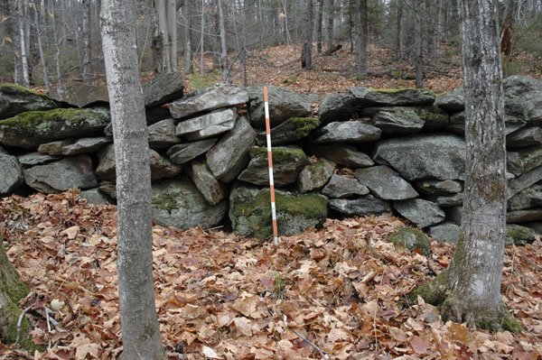 that came from a large vein of the mineral about 150 feet away:
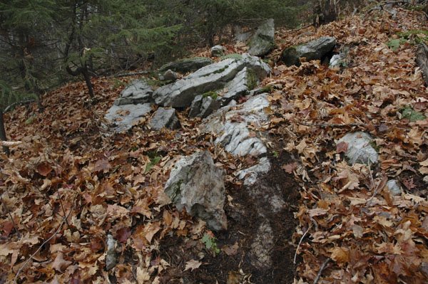 At the other end is what appears to be a Manitou stone,
 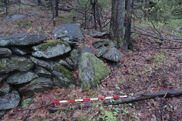 an accent that I have seen at other features here and elsewhere. These stones are often associated with burials, but they might have had other uses as well. Rains made everything wet and muddy, and rivulets of water ran over extensions to the cairns;
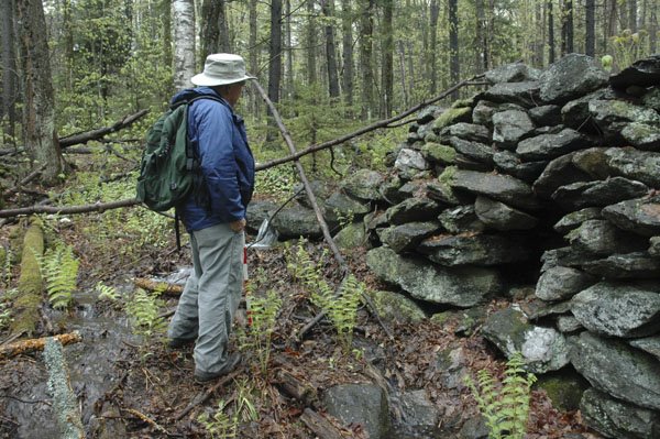 which I find fascinating, since they seem to have been intentionally attached to reach out to springs and other water sources. Another cairn with a smaller attachment is found lower down the slope:
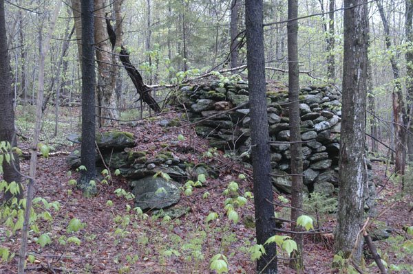 We also saw a cairn with an apparently new stone placed on top (looks like quartz):
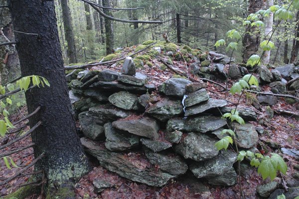 Perhaps it was left by one of the Native Americans who visit the site. At the bottom of the slope we walked past a large erratic with a stone, tongue-shaped attachment on one side
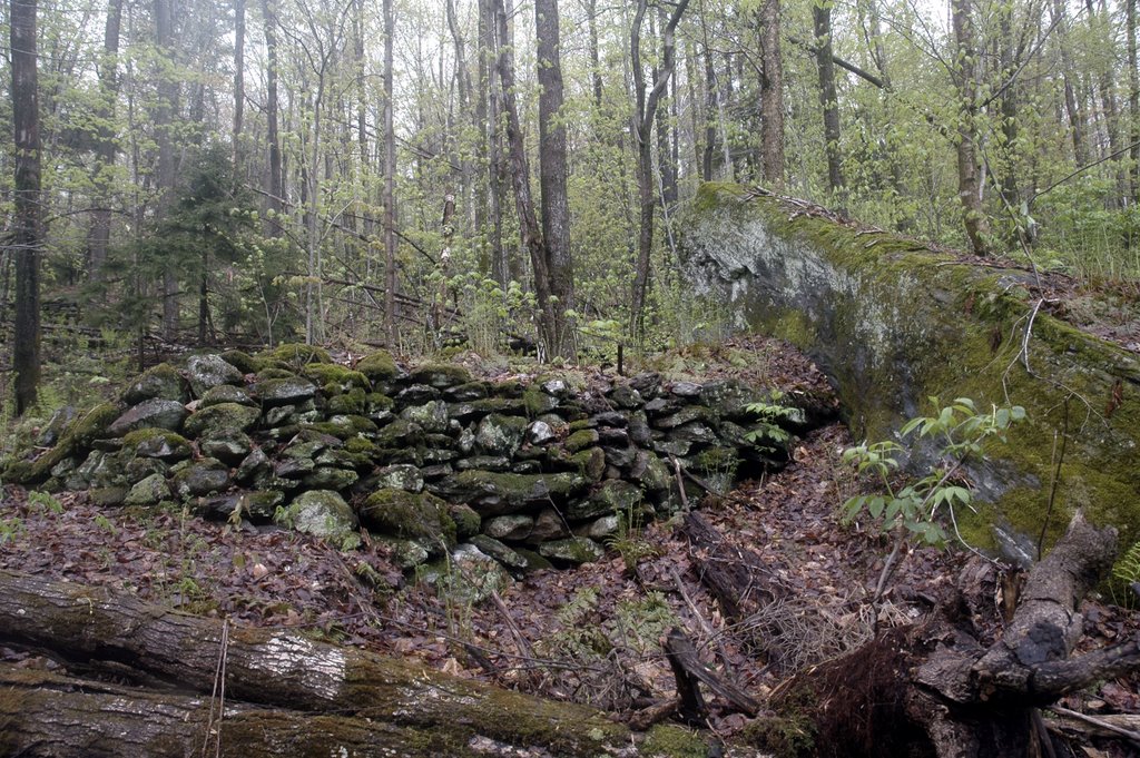 From one end the erratic looks like a turtle
 with its head upraised, a characteristic that has sometimes been called simulacre.
At another site (R7-2) we visited the wall-over-the-stream, which is literally a wall built on top of the stream, and follows it for hundreds of feet up the slope. In areas where the wall was breached by farmers, the wall was constructed by first constructing a stone culvert, capped with flat stones, on top of which the wall was built. In one image I am standing on top of the wall
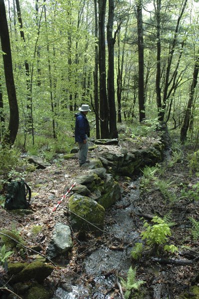 and one can sense the undulating curve of the wall as it follows the course of the stream. As the day was very wet, one can see some water flowing against the base of the wall. The wall is a good 6' high at the end and very well constructed.
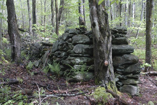 The stone lined culvert extends below the wall end.
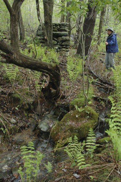 It exits just to the left of the large dead tree in the foreground.
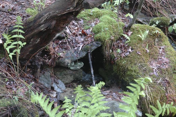 A closer image shows two small, moss covered piled stones supporting the capstone on the left side.
We ended our trip in Tunbridge, where I scouted some grooved boulders, one of which was on a private farm
 This is called an edge grooved boulder, in that the deep banana grooves are on either side of a natural ridge on the boulder. They were once called Irish Ogam by Barry Fell, but they now appear to be associated with Indian fertility rituals; much research along this line has been done in the West. Martin and Dexter in their book on Vermont stone mysteries, America's Ancient Stone Relics, also illustrated another grooved boulder in Tunbridge, which is a much better example of edge grooving
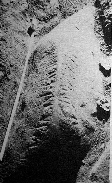 Unfortunately, I was unable to find this example.
2 comments :
Great site, great text, great pictures! Thank you.
I have a photo of a boulder in Monroe County that very much resembles that turtle simulacrum (or however you spell it). I may have to post it if I haven't.
Nice piles and that stone wall covered brook is really interesting.
I have a few questions:
- How did these sites get discovered?
- What is the topography near the "boat", or near the "turtle"?
- What do you make of the opening in the "boat" cairn?
Post a Comment