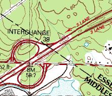
 Here is a map fragment from where Rt133 crosses Rt495 on the Andover/ Tewksbury border. In the map, Rt 133 is a horizontal line and Rt 495 is a diagonal. There was a little piece of un- explored woods in the sector on the right, north of Rt133 and south of Rt495. Now, just for fun, if I told you there was a rock pile site in there, where would you look if you tried to find it? I leave this as an exercise for the reader. The answer is at the bottom.
It was a slow weekend rockpile-wise and I wanted to try to locate something during lunch break, so I drove away from work, a couple of exits down, and parked behind a Longhorn Steakhouse at the road corners, and walked east into the woods. The woods are so trashed out and it seems to be that way in most parts of the woods - there in Andover. I cut across the woodland one way and planned to stop at the obvious place on the way back and was grumbling to myself about how badly used were these woods and how I wasn't going to waste time going out again to explore these darn Andover woods. There were cart roads, trenches, places where bulldozers or some other process pushed up banks of dirt. There were pot-holes, percolation test pits, and natural hollows filled with water. And as I came back via the obvious place, sure enough and right on schedule was what looked a lot like a rock pile.
 Here is another view:
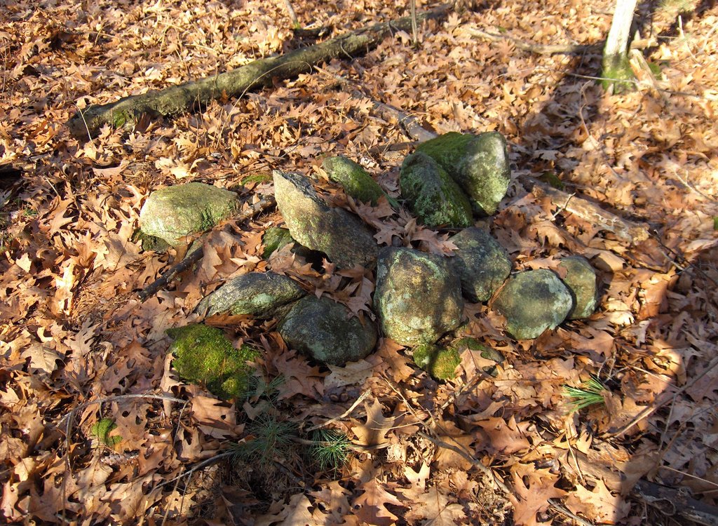 I was pretty surprised, since I had just been thinking how lost these woods were. Yet isn't it amazing how these little inconspicuous Native American ceremonial structures have managed to survive? There were six in all. If there had been only one I would have discounted it.
Here are some others:

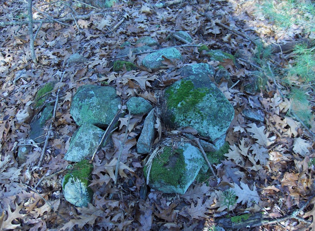
 They appear un-disturbed in spite of what was going on around them in the woods. All just a few feet away from this little pond.
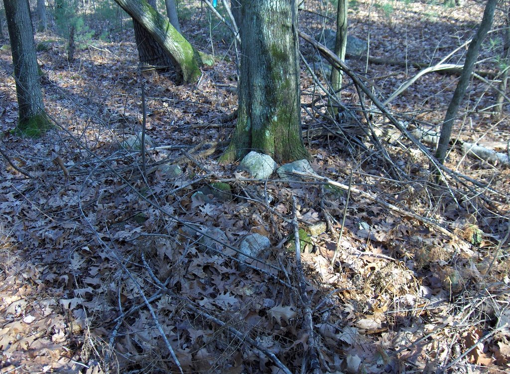
 So that should confirm your guess about where the piles would be located (if there were any). I should also mention the impression that each of these piles had an upright flake or "fin" and perhaps one other prominent rock - either pointed or larger than the rest. I did not pay enough attention to the way the "fin" was oriented.
 By the way, that first brook to the west of the little pond was explored on the northern side of Rt 495. In fact there is a site over there closer to the headwaters of that brook.

1 comment :
Well, that's interesting. I am perceiving this as a suburban/woodland rant. At the least, it made me laugh in my search for percolation test information.
Thanks,
Chris
Post a Comment