 After Christmas I found a particularly nice site looking northwest over a brook (lowest blue outline on the map). It was in a very remote part of Groton and I thought it would be well worth exploring around the edges of the swamp that feeds the brook. So last Saturday I went back and explored first east of the site and then north of it. To the east there were very few things to see - an occasional pile still standing along the 'cliff' above the lowlands:
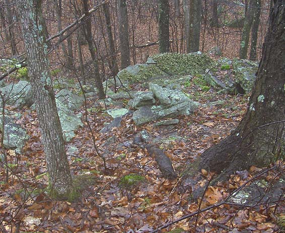
 and also an occasional isolated pile looking more directly out over the water:
 After walking for a while over the low knolls looking north over the water, I got bored and headed back towards the first main site.
When I got over there I crossed the brook to the north and pushed through the sapling to see more rock piles (middle blue outline on the map fragment) where small springs squeeze out water into the lower areas to add to the brook. Here are some piles next to these small wet places:

 From there I went uphill slightly, finding more piles scattered loosely along the slope and then I headed north across the power lines (diagonal white line on the map fragment) and crossed a level area with one isolated pile, over to the foot of the hill. Here is the isolated pile I saw:
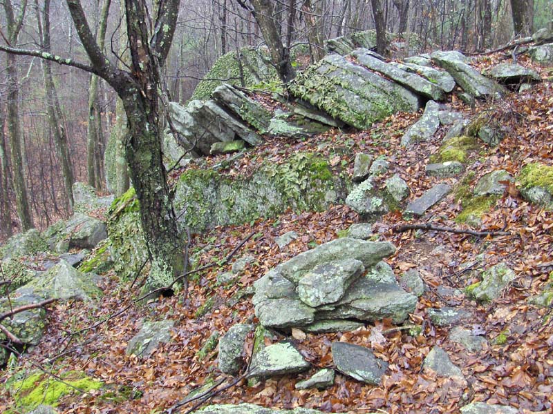
Then when I got over towards the foot of the next hill to the north I found another spring giving rise to a brook that grew bigger into a nearly stagnant pool which grew bigger until it formed a new brook flowing away downhill to the west. Along this next water source (upper blue outline on the map fragment) there were a number of piles on either side - little blessings along the water.
 There were perhaps 10 small piles, on either side of the 'brook' before the water passed under a stone wall and became a real brook.
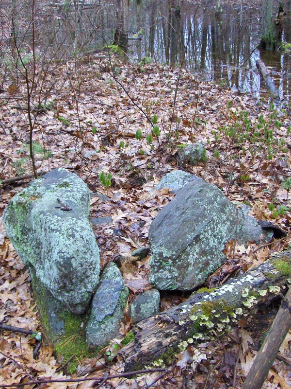
 If you look in the background of this last picture you see what looks like an elongated pile in the saplings with a stone wall behind that. There is a lot of structure there, so much to puzzle over, such an opportunity.
I have no wisdom to offer about this site. All the piles (except perhaps the "isolated" one above) look broken down. There is little to learn from their shape. All I can see is piles where water comes out of the ground and piles where swamps become brooks, and piles looking out over water. Everything here is located with respect to water.
It seems obvious that this is not about alignments. I have to admit it is frustrating showing such sites to people who are focused on alignments and who pull out there compasses at the least provocation. It is not always about the sky. Sometimes it is also about the water.
No comments :
Post a Comment