 I mentioned I wanted to get over into that swamp/valley downhill from the road, and I figured out how to do it because there is a small conservation land off one of the small roads there ("McGregor Lane") and I went trespassing in behind there, getting access to a big undisturbed woods. We see scenes like this:
 Regular nicely made walls, not necessarily at right angles or all that straight, criss-cross the area and I found a reasonably high density of rock pile sites as I poked around in there. There are more sites than shown on the map. Got a bit lost up near where the "?" appears but retraced my steps successfully and got out of there.
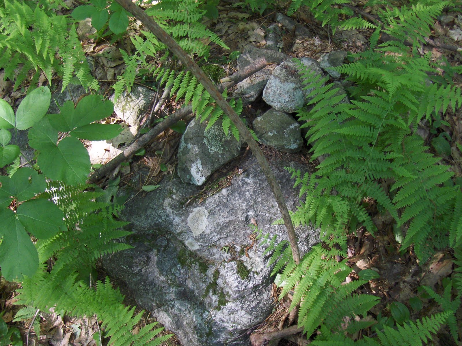
I am afraid the "teaser" (here) may have made this look more interesting than it deserves. The sites I found were like this: a small cluster of piles built on small boulders, hiding in the Hay-Scented ferns.

Some of the piles seemed slightly triangular:
 Some of them were unmistakably triangular:
 [Make note, I took photos of others like this from Concord, yesterday]
Another cluster. Same idea but with Cinnamon Ferns rather than Hay-Scented ones.

 These above were on the east side of "Bare Hill". Stepping across onto the "island" in the middle of the swamp: another few clusters. Here is one:
 A split rock with some fill:
 The piles in this cluster are a bit larger and more substantial:


 Piles with vertical sides, split-wedge rocks, familiar features. It went on and on: walk through ferns, get lost, find more rock piles. Here was a nice one:
 *******************************************************************
Eventually (about where the "?" appears") there was something else. A messy spill over the edge of what could easily have been a plowed area. So field clearing piles?

 Maybe, but this was adjacent to the Paul Hill sites I reported [click here], with the same objections to this being field clearing. Just wanted to mention this other type of site in there.
So I got lost because it was cloudy and I followed the wrong hill to get back to where I thought I came in. Now I'm packing a compass on cloudy days. It is very liberating.
3 comments :
12th photo down: turtle petroform?
Large forelegs, a head and carapace?
I see what you mean about the stone rows, looking at the Bing bird's eye views. There's one in there that looks more massive than the others...
I should have said "boulder rows," since that's what you've show.
Post a Comment