A former Praying Indian Village.

I have to imagine that there are sites up and down this Miscoe Brook valley. I parked on Salisbury Str. (center left of map) and planned to walk down to the top of the small brook, beside A, and start looking around. There were odds and ends of rock-on-rock and small groups of small rock pile groups, all the way down the slope, from A to B. At B there was a large messy mound, possibly with some hollows, built next to a stone wall. Then I crossed the railroad track, seeing another cluster or two of small piles. At C, I found a nice groups of three mounds connected by trails, that I described here. Then I walked back southeast along the railroad track to the edge of a site at D, that turned out to be extensive. Piles were visible from the railroad tracks at B (both sides) and at D (uphill side). Considering this is about 1/4 mi. stretch, you can see why I expect the whole valley to be full of things. Recall I also found a nice site at one of the Miscoes's headwaters (see here).
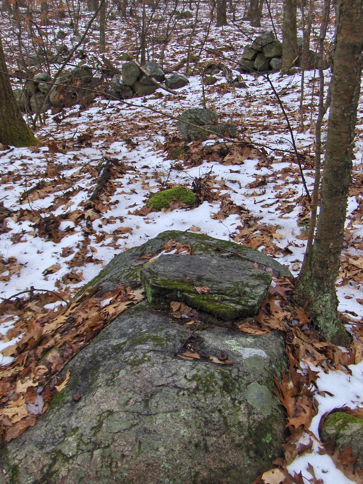
For the most part the piles from A to B were not remarkable. Their relation to nearby stone wall occasions some interest:
(Note the quartz behind.)
More trails through the woods, marked by rock on rock:
And here is the large messy pile, just above the railroad track at B:
from below:
***
At this stage of my walk I had not seen anything exciting. I expected to be writing a post about how pretty the colors of moss were on some of the rocks because of these pictures:
There were other small clusters below the railroad track:
You can see the influence of fire, in the staining of these rocks.
***
Then we come to three mounds at C. The center one is as fine an example as I am likely to see.
I should have said it before while writing about trails, but the connections were roughly like this:
I sketched the trail heading north and disappearing, because I did not go over there. Later, when driving home I saw a huge mound (near 'v' i "Kittyville", marked as E on the first map above, shown here) and conclude in retrospect that it could be connected to the mounds at C. Gosh! there should be lots of other things to see along that trail up and down. But usually when I make that kind of optimistic prediction I am wrong.
***
Let's take a look at the site at D. This looked like a marker pile site from the railroad track:
I think I see a trail here heading up between two rocks, in the middle of the picture and passing diagonally off to the left, passing rock piles. In fact that leads over to more of the site, so it may be correct. Follow the trail over this bump and you see a beautiful place:
A cannot do better than that. Although there is quite a lot more to see here:
Here is a very messy mound looking back from an adjacent 'ridge', overlooking those piles.
I suspect this is the center of the site and the smaller piles, visible from here, play a satellite role.
Update: The large mound by Kittyville is probably just tailings from gravel removal.


1 comment :
Photo 14 is gorgeous. Great find.
Post a Comment