Here are a few I thought you would be interested in. I am currently working on mapping all of the features I have come across, of which there are many.
This is at the foot of the hill leading up to what I believe is the main site. I've walked by this quite a few times without even noticing it.
This is at the foot of the hill leading up to what I believe is the main site. I've walked by this quite a few times without even noticing it.
 Reverse angle
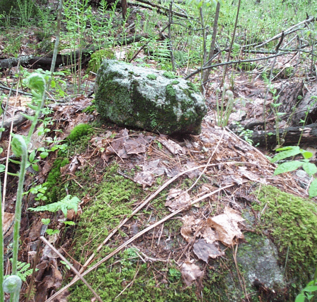 I believe the line markings are actually quartz veins, though I am not sure. I took this hastily as I was running out of daylight in a very dark part of the woods, in the rain. There are also similiar markings on the back but I was out of space on the digital camera.
 ignore the mouse pointers...sloppy screen capture. There are a few of these split rocks around.
 Possible burial mound located on the edge of the oldest (and darkest) hemlock grove I have ever come across. I would estimate the age of trees to be 300+ year old range.
 Reverse angle
 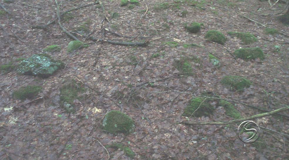 I didn't notice at the time, but note the 'mask' or effigy-like markings on stone at the left. Could be lichens or minerals, due for a close-up on the next trip in.
3 comments :
I also wanted to mention this particular rock on rock made me recall the trail marking system used by Indians and subsequent generations of colonists and hunters up until at least I was young boy, as it was passed on to me. Rock on rock = this is the trail, rock to right of rock = head to the right, rock to left of rock = walk to left, rocks on rock = this is the spot.
I would like to call your attention to the article on rock-on-rock published in the NEARA website:
http://www.neara.org/WAKSMAN/rockonrock.htm
Ernest Seton Thomspon wrote about this topic and there is one of his illustrations worth looking at.
Excellent link, thank you Peter! I remember that exact drawing from a Boy Scout book many moons ago and recognize Thompson's name as the founder of the Boy Scouts. Now, if I could only remember all the trails I followed thru the years, I'd be miles ahead of where I am starting.
Post a Comment