Got the official "Morraine Trail" map from the Falmouth 300 committee, and tried to explore in more detail along the Waste Water Treatment Service Road off of Brick Kiln Road. First I went up to the right hand bend where it turns into Blacksmith Rd. Right after the turn there is another road to the left which continues north in the same direction as the service road before the bend. I parked right at the intersection and explored the gully between this further road and Rt 28. Directly on the slope there I came on a rock-on-rock underfoot. Then a couple more very humble rock piles:
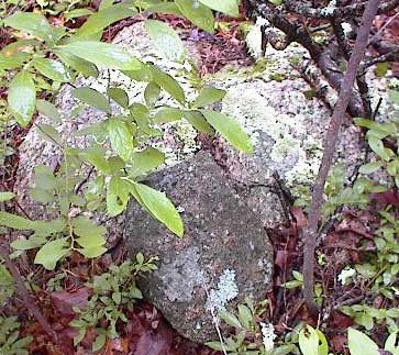

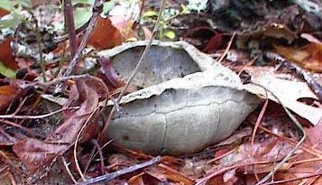
 Along with this group there was also a small pile with several rocks. In the detail picture you can see there is an old turtle shell bone on the pile. Looks like a box turtle shell. These piles are pretty inconspicuous, low in the brush as they are. This small cluster of rock pile and rock-on-rock faces westward, right towards Rt 28, across the wet place at the bottom of the gully.
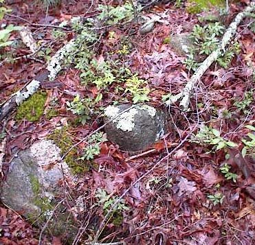
 So I continued on a way but came up to an open area with buildings and desisted in exploring in that direction.
No comments :
Post a Comment