- Piles lined up three and four at a time
- Piles roughly evenly spaced along those lines
- Piles incorporating any of
- One vertical face
- A pointer rock sticking out above or to the side of the pile
- Piles with burnt rocks and quartz
- Site located on a slope or on level ground with a near horizon.
 Here we see three piles in a row leading from the foreground off to the upper right. You can also see these piles are about the same distance apart. Other piles in the background to the left suggest this pattern continuing.
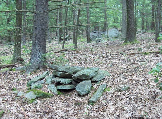
 Here are a number of examples of piles with a vertical face. What may be less clear is that these piles have only one vertical face. The back and sides of the pile are not vertical and, given this structure, there is the strong suggestion that the purpose of the pile is to provide that vertical face at that location - and what structure is there in the rest of the pile is not important. Another possibility is that the vertical face creates height for the pile and allows a stone on top of the pile to be located precisely.
In this picture, every pile you see, has one rock on top hanging over the side. These are what I am calling "pointer" rocks.
 Finally, mixed in with these vertical faced piles and piles with pointer rocks are a number of low ground piles with quartz and burnt rock:
 [The quartz is the white rock, the burnt rock is the one to the far right.]
 Here is a picture that shows both a pile with quartz as well the kind of layout you see at a marker pile site.
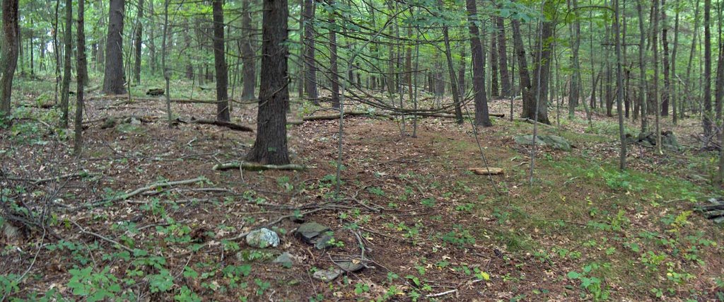 I wish I could put it all together and say: "see this is what these sites were for...". But I cannot. I suspect that burial was involved but perhaps these are memorials rather than graves. I think the burnt rock came from a fire or fires which were made at this spot with the rocks used afterwards for rock piles. I think the lines of equally spaced piles have something to do with sky watching and, to be honest, I do not see how these fragmentary fantasies add up to a sensible activity. I do know that marker pile sites, as I have tried to define them, are by far the most common type of site in the Rt 495 corridor around Harvard, Boxborough, Stow. The more classic site mentioned in Manitou is another example, and up and down this valley of Beaver Brook, there is one after another of these sites - some in good shape, some all broken down; like what is left of 500 Cairn Hill, a mile or so down the valley. Also this example from Stow.
No comments :
Post a Comment