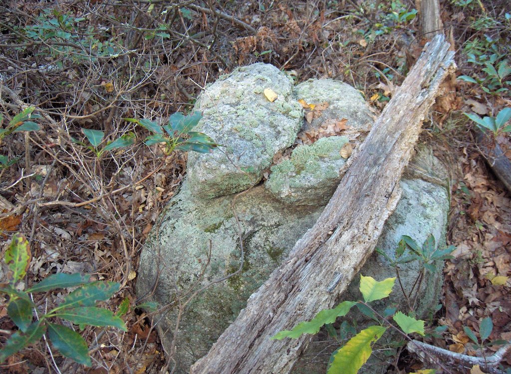
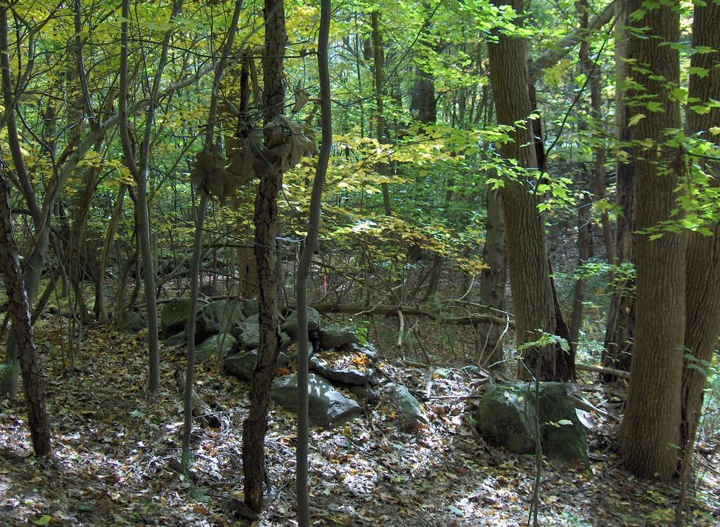
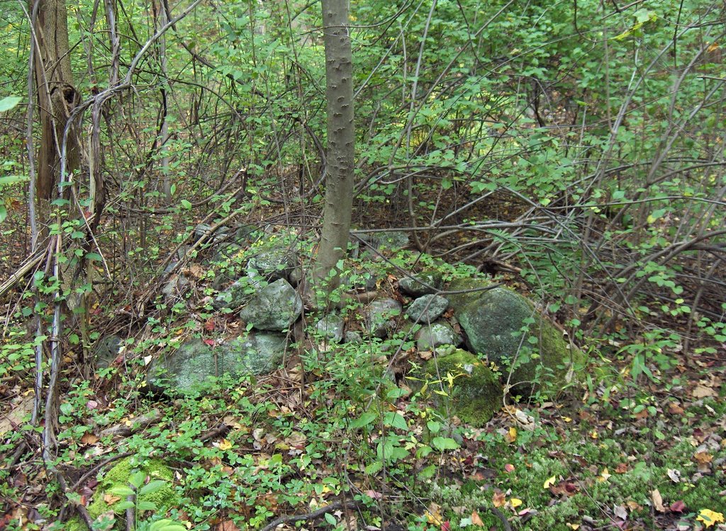
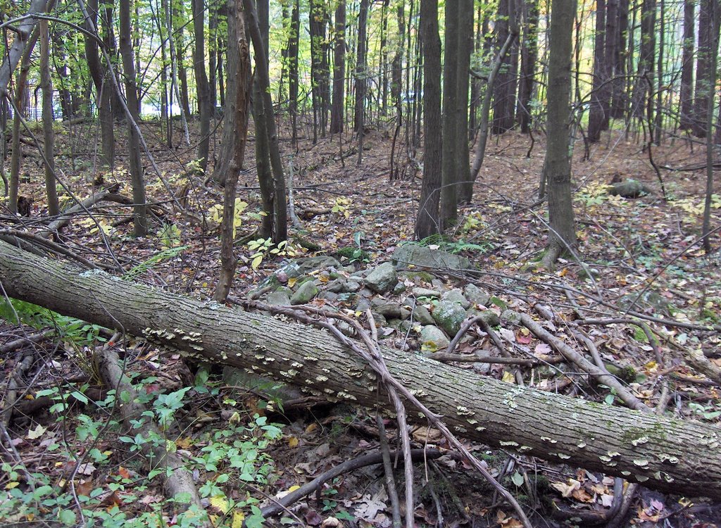
 And in one place a small "site" facing south east consisting of two nearby rock-on-rocks.
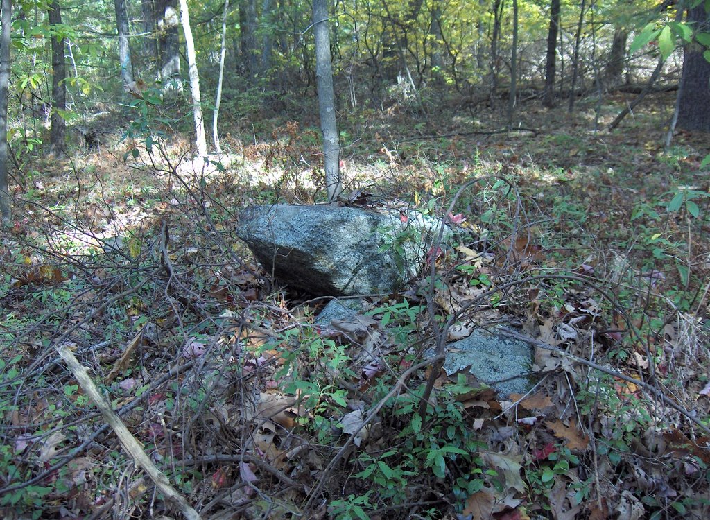
 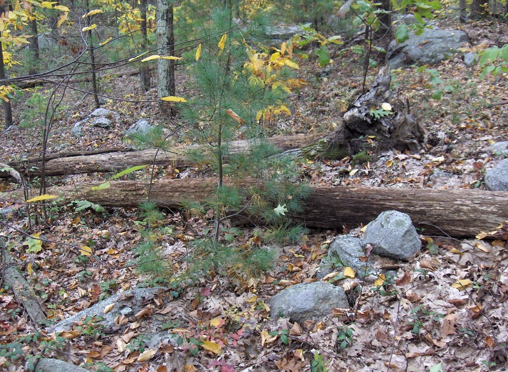 Underfoot all over the hill were rock fragments that often were suggestive but those are the pictures I took.
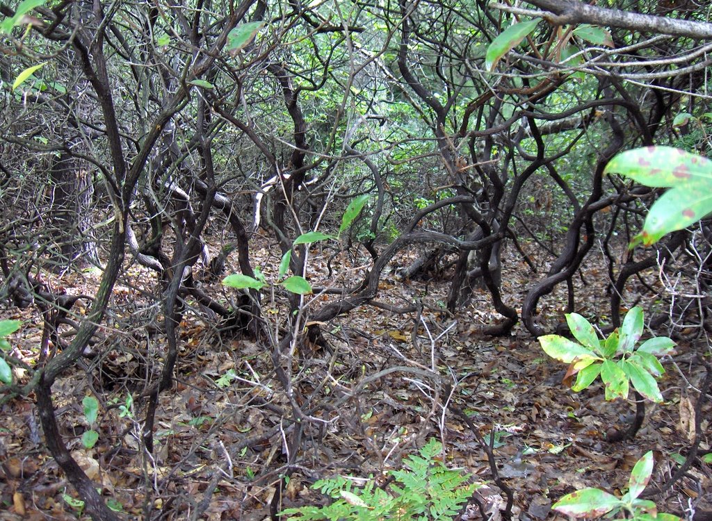
I also amused myself constructing a grading system for difficulty of walking through mountain laurel. Grade A means a few low laurel plants that do not impede progress. Grade B means plants that are continuously grown together but are not more than waist high, so they impede progress slightly. Grade C is dense higher mountain laurel that you can get through with difficulty; and finally Grade D is when mountain laurel is so dense that you cannot get through it except with great difficulty, crawling, twisting etc. At Snow Hill, I had to go through Grade C mountain laurel to walk in off the road and to the point where I saw that first pair on a rock shown above. Then it was mostly Grade A all the way up the hill. But any exploration of the west slope was soon stopped by Grade C or worse and the same turned out to be true for the eastern slope when I came back. So I had to stay on higher ground most of the time. Really, you cannot see much of a hill under those conditions. I have no way of knowing what I missed.
Later I came back on Rt 2 and stopped to explore the northern side of Rt 2 at Mt. Elam Rd. Saw what could have been three field clearing piles, right near the highway.
No comments :
Post a Comment