 I was out in the chill, exploring on the downwind side of Gates Pond in Berlin, MA. Starting next to the eastern edge of the lake about where the letter "s" is in "Gates", I planned to cut diagonally up across the end of one of the smaller hills, explore the ravine between it and the next, larger, hill, then diagonal up and across that hill, do the same kind of exploring in the ravine beyond it.
Heading off uphill, you know there is probably good stuff around:
 Off I went over hill, dell, hill, and next dell, finding myself on the northern side of the ravine there (see blue outline), looking southwest and I am proud of myself: I stopped from a high vantage point and looked out into the valley (which I am calling a "ravine") and spent several minutes looking around carefully and trying to decide in what direction I should go. A big stone wall comes down the other side of the valley and there is a short stretch of wall in the level bottom. And I look back and forth and decide I should head southwest along the slope - trying not to lose elevation. Within less than ten steps I spot rock piles. So I picked the right direction. Part of the choice was knowing that sometimes there are sites along the lower edge of the highest outcrops - well above the floor of the valley. Here are some:
 And here are some views of short stretches of wall at the bottom of the valley, seen from these rock piles. One piece of wall cuts across the valley floor:
 Another piece of wall goes along the middle of the valley and degenerates into tumbled larger rocks (to the right=southwest)
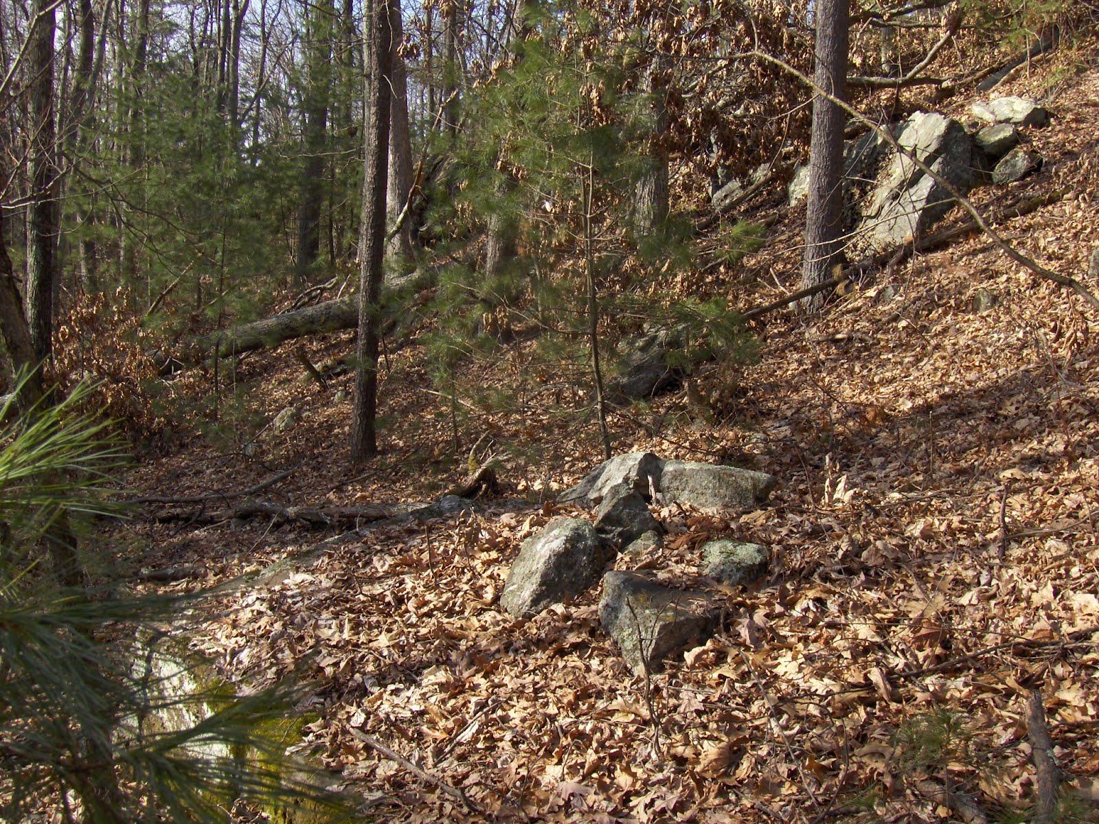
 Going a few feet further along the slope (I am heading southwest on the northern side of the valley), some more rock piles:
 Another view of the piece of wall in the middle of the valley, it is joined by a degenerate piece of wall made of larger rocks and leading down from this spot
 Here the walls up on the side of the valley become more substantial. I think these are Indian walls and that this is an entrance to the site:
 [I am spending more and more time thinking seriously about the idea of pathways designed to flow through the rock pile site. It is an idea that seems to be sticking around.]
Continuing a few feet further along the slope:
 Note the small pile built into the outcrop to the upper right. [You could start the argument against field clearing rock pile sites with this example. The rocks are broken ledge rock from the adjacent outcrop. No fields anywhere nearby.] Another view, over the rock pile and down:
 Note the split in the upper rock.
Another few feet along and the site comes to an end, as the outcrop it was following comes to an end. The stone wall (which I think I remember as having come diagonally up the slope) ends here, with a gateway to a small level spot.
 Note the smidgen of rock pile to the right. I was thinking these walls might serve to funnel deer over to this spot but, no, I don't think this is a kill site. Look at the outcrop in the background; how someone levered two large slabs of rock outward, so they hang over the space.
This last of three examples of rock pile sites, shows the value of exploring along outcrop edges in this kind of valley/ravine setting. Perhaps this is the same kind of site encountered on the hill shoulder north of Gibbs Mountain (part 1), but with the heavy presence of stone walls, it has a different feel. I can guess about astronomy and water as reasons for those first two site examples but I have no opinion about this third site. A little bit unique to this part of the county, sites along high outcrops occur in Berlin and Upton.
No comments :
Post a Comment