Going back and forth to the Cape is taking my explorations further south. I have been doing bits and pieces of Franklin for several years, Wrentham next and, eventually, Foxboro. I have been skipping Milford since Bruce MacAleer already showed me how that town is packed with rock piles. Somehow it is less fun to re-discover, so I have skipped Milford. Of course there are plenty of towns between Concord and Cape Cod and I have my work cut out for me. Anyway, here is a little piece of the map I have been looking at for a while, so I got out there last weekend. The water tower is located about at the cross-hair. After weeks away from the woods my hands were itching and curling spontaneously as I stepped out from under the power lines. Ah, the smell of hay scented ferns!
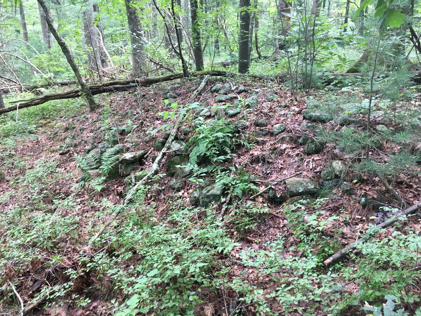
And of course there was a beautiful mound right there, which I showed previously. Here are other views. Interesting that someone would set up a camp (now abandoned) right there.
You can see the hollow better in these side views:
I do not see "corners" and the kind of rectangular shape I am used to seeing further north. This is no longer the Nashua watershed, but the sample is too small to conclude things about differences in styles of burial mounds. In fact, on this walk, there were several very different types of rock pile "mounds".
I continued south along the edge of the power lines. Having found this first mound (above) it made sense to stick to that topography, although I was headed for the headwater lake in the lower right of the map fragment. Here is a different mound, different shape, different age:
Nothing much to see. Here is another:
and another:
This one was actually quite tall, it does not show in the photo and, generally, I am sorry the pictures are not very clear. (I think an iPhone takes low contrast photos, without depth of field.)
I saw several examples like this:
This is a mixed soil/rock material in the shape of a "flattened donut" meaning the hole is not round but long and thin - more like a casket shape. There were several like this. The photos do not tell us much:
At this last place, there were several rocks-on-boulder piles, adjacent:
All in all, not too exciting. It seems that people over a wide stretch of time made there way up to this place from the water below. This is the Seven Mile River, heading south into Pawtucket.
There were a few other rock piles in there but most of the larger items were up by the power lines.