Tuesday, October 31, 2006

Hill in southern Tyngsboro - Part 3

(Perhaps start below on Part 1.)
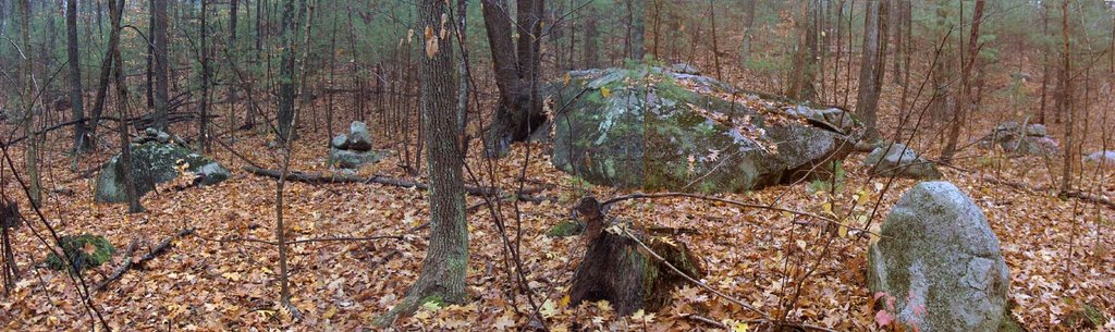
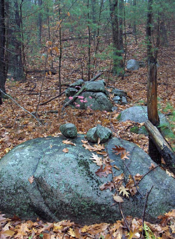
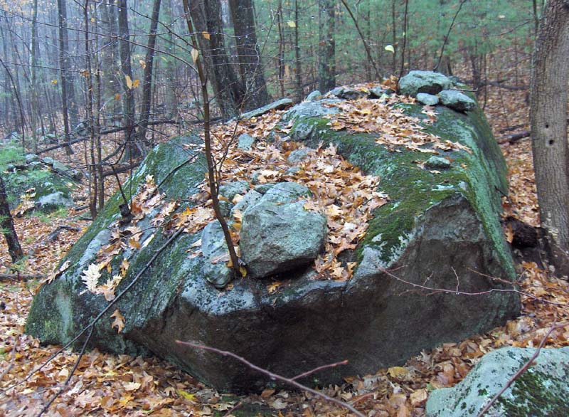
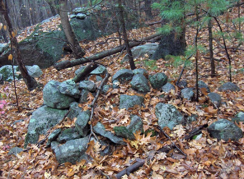
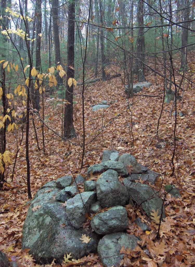
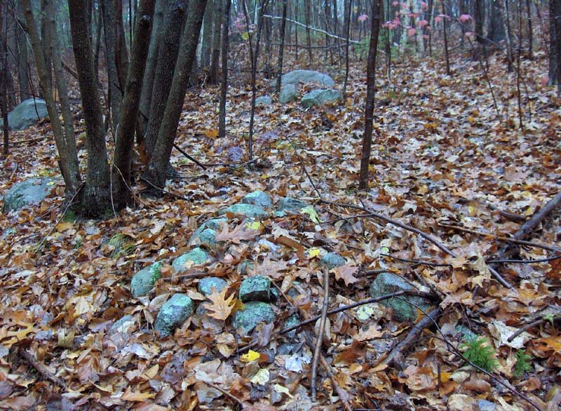
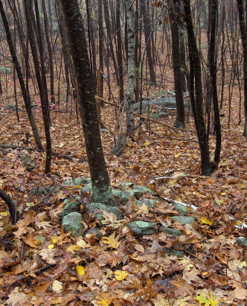
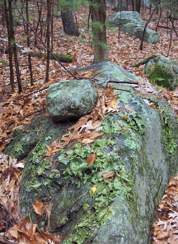
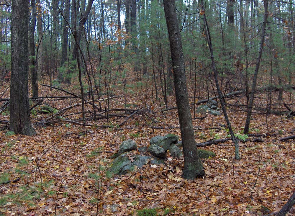
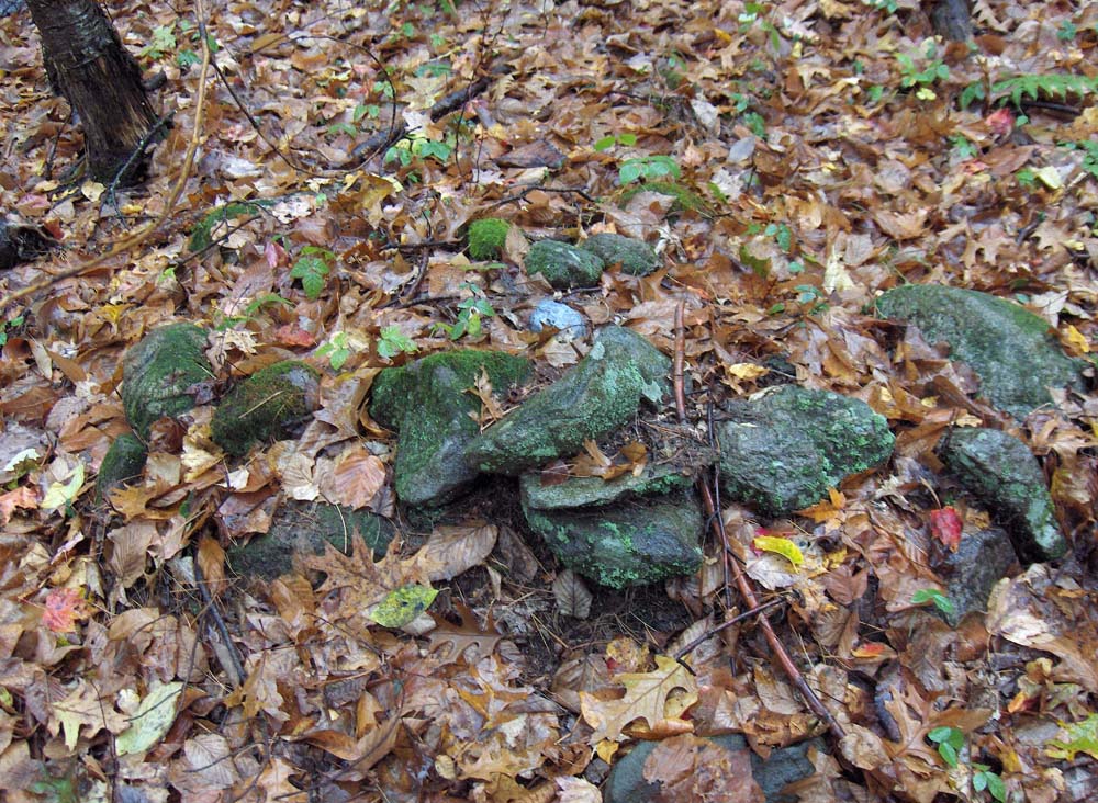
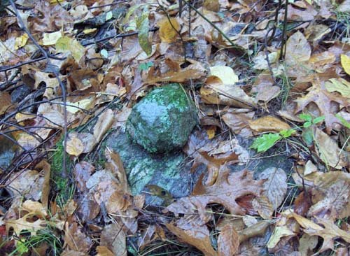
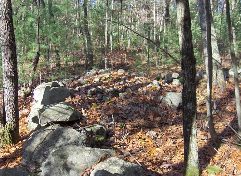
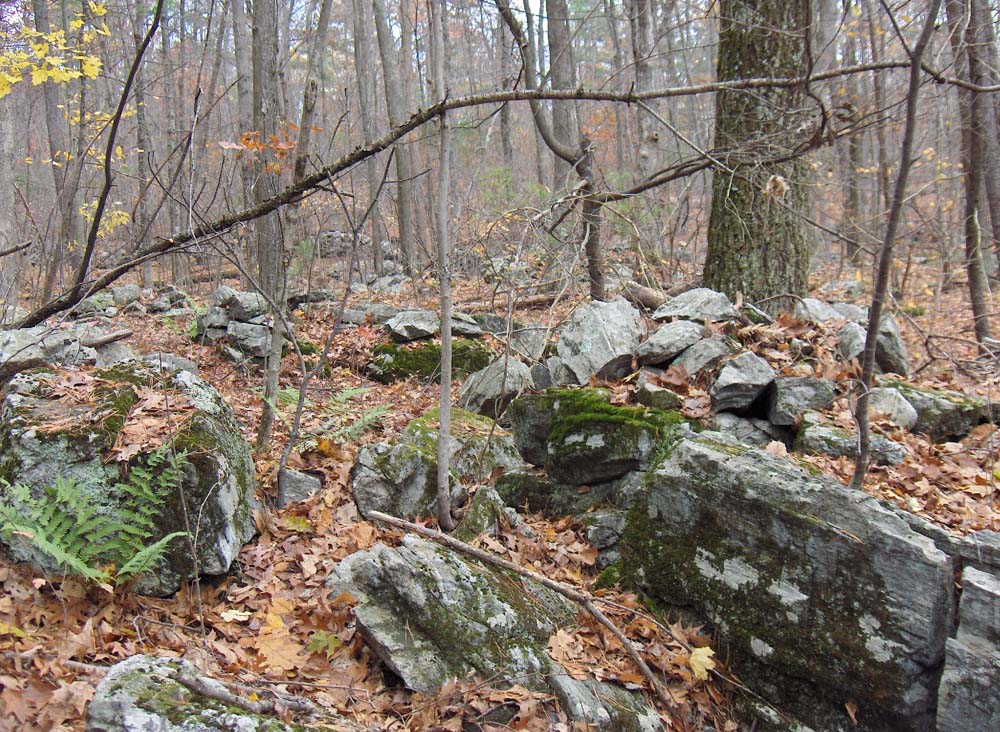
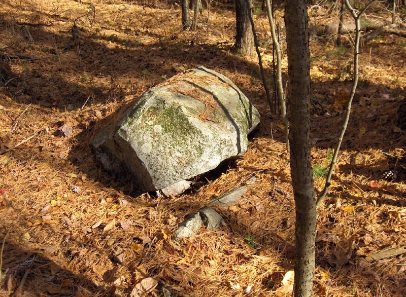
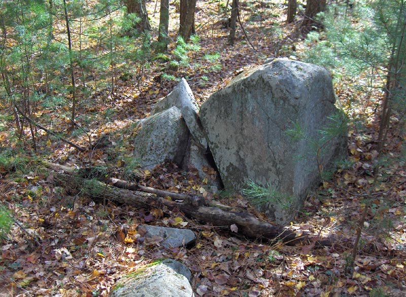
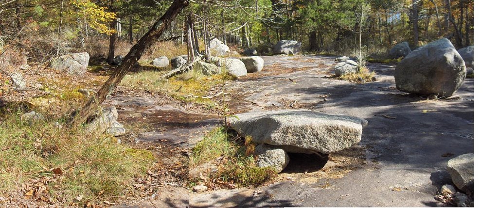
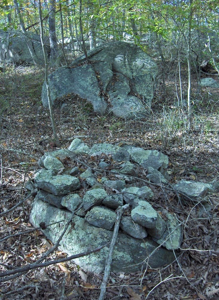
From there I carried on uphill back across the northern end of the summit and over to the opposite foot on the northwest side of the hill. I skirted along there and saw first one boulder rock piles incorporating quartz and then a sequence of small piles on boulders as I followed the stone wall there at the foot of the hill.
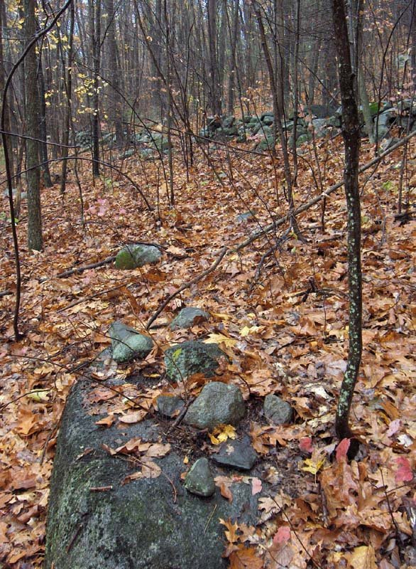
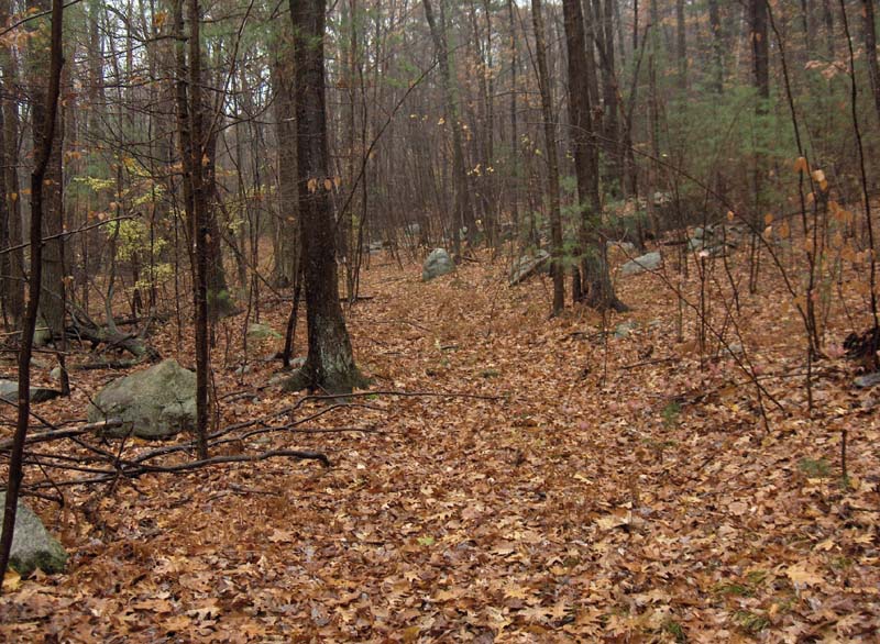
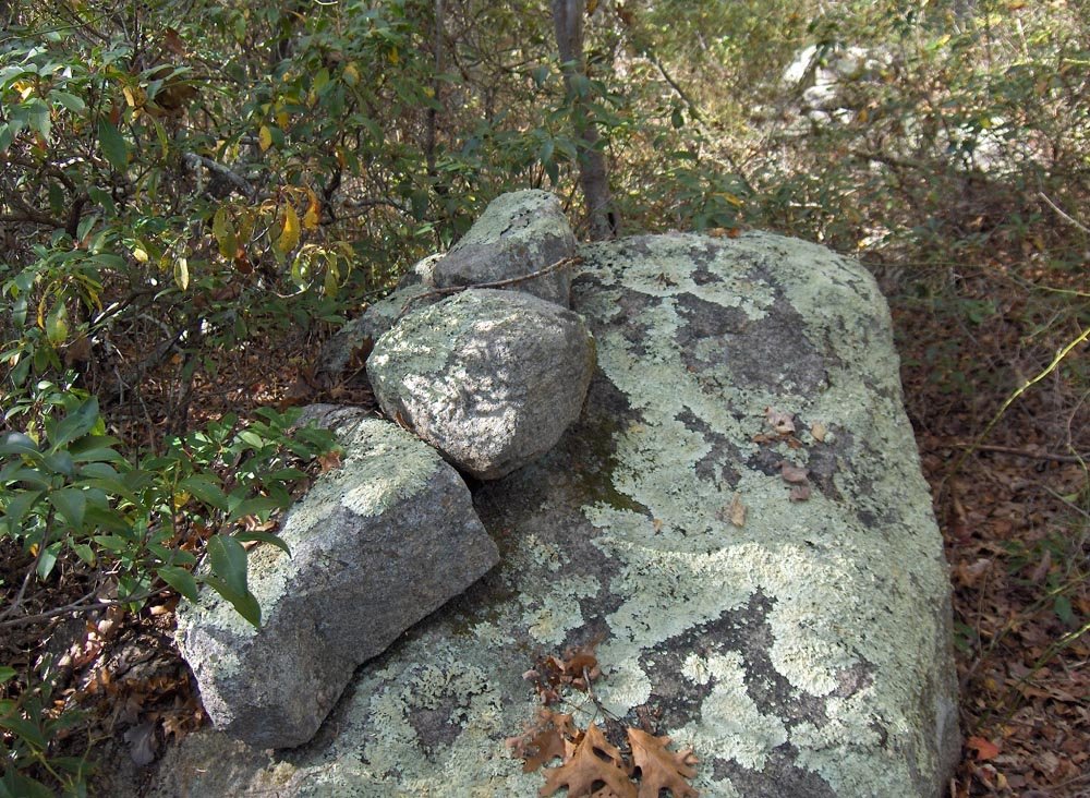
This last one was no more than 20 yards from where I had entered the woods in the first place and headed uphill. At least I spotted it on the way back.

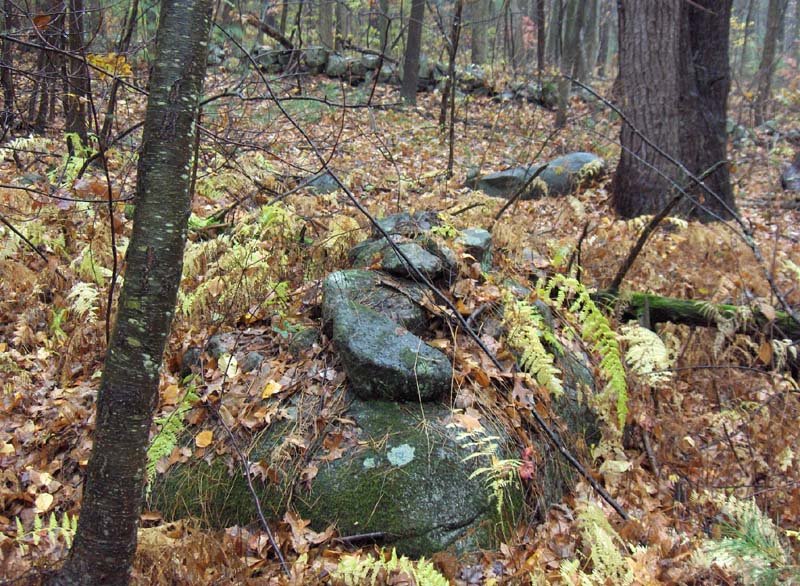
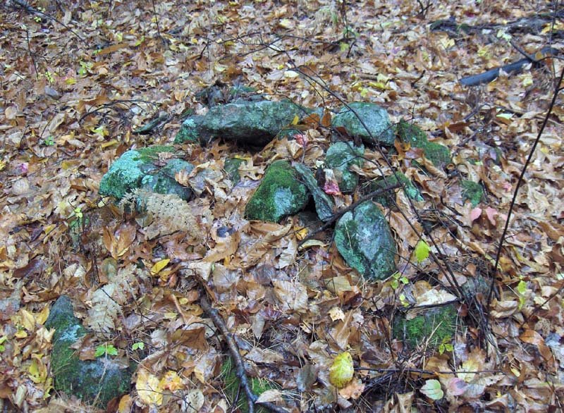
Well this new cameras takes better pictures but it is less convenient than the old camera. Not only are there more pictures but also they have to be downsampled and moved around more.

Hill in southern Tyngsboro - Part 2

...From there I headed back east towards the main hill, cross a wetland I had wanted to explore earlier, and starting seeing rock piles as I came to another forest road and the southwestern foot of this the Hill.This is a view to the east at the foot of the hill. You can see the slope steepening behind. As I look at the map fragment, I suppose that the whole western side of the hill has rock piles. I should have explored more but was pretty wet by then.
This site, mostly along the side of a forest road, contained mostly boulder piles. I only saw one ground pile.

One distinctive feature was a larger boulder with rocks on top. The second picture shows a nearby pile.This last view is back downhill. But the foreground pile is about as high on the slope as anything that I found. The site, or at least the past I saw was really at the foot of the hill and only a short way up the slope. I guess in the rain I am much less able to look over a site and make careful observations. I could not call this a marker pile site or anything else in particular.
-------------[Continued in next post]-------------

A Hill in Southern Tyngsboro, MA - Part 1

This hill is east of XXX Hill but looks very similar and I wanted to check it out to see if it would be as covered with rock piles. Well, not quite but I had a fun walk there Saturday in the rain. I parked over east of the hill and went straight up the steep side to the top. The top was trashed out into a sandpit and I walked north along the top and then cut down into the woods on the northwest side of the hill. I immediately saw one rock-on-rock and what looked like some tumbled-down piles. Then I walked further west downhill to a wetland and south until I sensed lake and houses through the trees. So I cut back uphill and saw one small rock pile site below the brow of the hill just about a break-out zone (blue outline on lower left, above). This site looked to have numerous small shapeless ground piles one with quartz in the center and two with small deliberate "fins", mixed in with a few rock-on-rock and one or two boulder piles. The site faced rougly north and west. After that, having bagged a rock pile site, I started back towards the car. This took me back to where I had been before allowing me to explore a wetland and up along the southwestern foot of the main hill. Here, along a forest road (middle blue outline, above), was a site with most piles up on boulders on the level and on the slope. I explored this area little and then went back up and across the main hill, to explore that eastern foot of the hill (upper right blue outline, above) on the way back to my car. Just for fun I drew in my approximate path in red. All the sites are located along my return path although I did find some broken down remnant on the northwestern slope of the hill on my way out.

Here was something, as soon as I headed down hill on the north-western slope of the Hill.
Below that were three or four hints of broken down piles.The photos are taken facing north.

From here I went down hill, as I said and, turning back from the open space of XXX, I was skirting that rise and spotted piles:
This was a small area, enclosed by stone walls, located just above a break-out zone on the slope. I noticed a ground pile with quartz:
This is a pretty typical burial, which is why I am suppressing the location information.

Here is a small panorama, facing north.
You can see the rock-on-rock, and a number of minor features spotted around.
And also some slightly larger ones on boulders or knocked-off from boulders.
Those poor abused piles. As you can see the damage is ongoing.

Several of the piles had small "fins":
This last picture shows a pile with the fin detail. It could just be structural but my guess is it is not.

Here is a mini rock-on-rock:--------------[Continued in next post]---------------

Monday, October 30, 2006

Ancient American: again with the unnamed but familiar site

by Geophile
They did it before--the people with questionable agendas at Ancient American magazine have printed an article partially about what appears to be the Oley Hills site, although fortunately they don't give any location. They didn't have access to the full site so the rockpiles and walls pictured are not the well known ones which at any rate they showed before. This time it is the editor Wayne May himself visiting the site with a woman said to be of Cherokee ancestry. She does not hesitate to attribute bizarre customs to the Delawares or Lenape people whose site she says it is. The walls are apparently long burial cairns under which warriors are buried end-to-end. I'm not saying I know she's wrong, but it is a wild one.

Of course it is a relief to see any article in Ancient American attributing any stone building to any indigenous people. Elsewhere in the magazine is an article giving credit for many grand stoneworks in various parts of the world, including Peru for example, to a little known red-haired Caucasian people who travelled around building wonderful things while presumably the darker-skinned native people stood and gaped. Can you tell this magazine rubs me the wrong way?

At any rate, the article in question is not online, so take your grilling tongs or your baking mitts along to the book store in order to have a look at the magazine without risking ugly skin boils. If it's brain boils you're worried about, I understand. You can take my word for all this.

Wall Corner Pile

There are good things to report but this is all for now:

Sunday, October 29, 2006

Panther Orchard Farm - Part One

by JimP
Panther Orchard Farm abuts the Miner Farm in Hopkinton, RI and I had the privilege of spending two days there exploring recently. The following is the first of several finds on that property.

We struggled through the briars and undergrowth and really weren't finding much. Then I spotted it near a brook that flows from the Miner Farm -- a small boulder cairn with possibly some of the same triangle symbolism found among the springs on Bob Miner's property. As I followed the brook, I found more. Here's a rock-on-rock.
It seemed like sticking to the brook was a good idea. Then I came across this small pile in a flat area on the bank.
The last feature I found on the brook was this pile of larger stones.
Much more to come from this property. Stay tuned.

Preview of walk along the brook, above the falls

Thursday, October 26, 2006

Tim MacSweeney's zig-zag stone walls

Tim has got some photos that really show the zig-zag stone walls nicely. They are all over where he lives in CT but there is almost nothing like that around here.
[Click here]

Aboriginal Stone Constructions in the Southern Peidmont - by Phillip E. Smith

Browsing through Larry Harrops website, I followed his link to this article (which I think I first saw when Norman Muller pointed it out). Anyway, it is fun reading it again. After much discussion of rock shelters there is some discussion of "stone mounds", and then another article with more dicussions.
[Click here]

Some split wedged rocks at Spring Hill, Acton MA

Here are three examples but there are many more on the Spring Hill Conservation Land.
My thinking about these things [see here] has changed slightly. Most people go along with the narrative that split rocks are doorways to the underworld. So what is that wedge doing in there?

I used to think the wedge was in order to keep the door from slamming shut - leaving a spirit on the outside. Later I thought maybe the wedge was to keep the spirit in there. At some point FFC suggested the wedge was a way for a user to claim ownership of that particular split. But now, these day, my favorite guess is that the wedge is like the stone placed in the middle of a prayer seat after the seat is used - as the proper way to end the ceremony. So for now anyway I think that the wedge was inserted after someone did a ceremony involving speaking down into the crack.

Maybe someday there will be some actual information rather than guesswork on the topic. For example is there any information about ending the vision quest ceremony?

New Site Near Rockville

by JimP
My vacation was a blast -- I've got a lot of material to post in the coming days. Thanks to Peter Waksman, Bruce McAleer, FFC, James and Mary Gage, Bob Miner, and Larry Harrop for helping to make my trip back home a memorable one!

The first site I'm posting is a new one. I stumbled upon it accidentally while driving down a rural road about a mile south of the Rockville site as reported by Larry Harrop [here] and Peter Waksman a day ago [here].

I gaze off the side of the road and realize I'm surrounded by rock piles. On both sides!

Unfortunately, this site is surrounded by homes and is on private land. I didn't want to venture off the road, so my photos are as good as I could get them. But some of the piles were fairly well-built.

I have since come to the realization that this site is included in an approximately 5-square mile area that is teeming with rock piles, petroglyphs, and other features. It's huge! Although not every foot of that 5-square mile area is covered with features, they are numerous enough for me to consider this the largest area of ancient stonework I have ever seen -- by far. There isn't even a close second.

Wednesday, October 25, 2006

Blog search is fixed

I just tried it again and the "Search This Blog" feature at the top of the web page now works again and accesses all of the archive.

NEARA field trip

Somebody go and take some pictures please.

NEARA REMINDER OF FIELD TRIP ON SUNDAY 10/29 @ 10:30 FAHNESTOCK CAIRNS

The NY Neara Field Trip is scheduled for this Sunday 10/29/06 @ 10:30 a.m.

The trip will start at the Wiccopee Road Parking Area which can be reached by taking Pudding Street west of the Taconic State Parkway (or left onto Pudding Street from the northbound Taconic). Take the first right and follow Wiccopee Road to its end.

The cairn clusters and other interesting stone structures are in the Wiccopee/Bushy Ridge area of Fahnestock State Park and Clear Lake Boy Scout Reservation. Some moderately strenuous off-trail walking will be required to visit some of the sites. It will take 2 -3 hours to visit all of the sites. Participants should plan on bringing their usual hiking gear, food and water.

Please contact Rob Buchanan at 914-243-4259, gochamp@aol.com if there are any questions. We appreciate knowing who is coming on a trip. However, do not stay home because you have not been in touch in advance. Additional contact: polmidge@optonline.net, 914-373-4247.

Tuesday, October 24, 2006

Why a "marker pile" site?

I described a site in the previous post as being like a marker pile site. The main reason is because of examples of piles in a straight line. The video doesn't do it justice [you can only see 2 of the four piles] but it is a nice place anyway. Come to think of it, looking out over a body of water may also be a characteristic of marker pile sites.

Looking out over a lake to the southeast - Rockville RI

One more site that Jim Porter showed us, high on a hillside looking southeast out over a lake. I thought this was a marker pile site. My report:

Following Jim Porter we drove back to the highway....Pond. We followed a trail around the west side of the pond and then uphill to a bald spot, where we began seeing things, and then on up into a mountain laurel woods with piles all around.You can see the pond down hill on the right, with a southeast view over it. You may not be able to see it but every larger rock in the picture is wedged up. I told Jim later I would have considered it a successful day out if we had only seen this bald spot.

Just above, the piles started in earnest.
By this time [after the day at the Miner Farm] my camera was full. Also I was burned out from seeing such wonderful piles. This last place reminds me of a number of marker pile sites.Jim tells us that this is only the edge of a vast site. Gosh they have nice stuff down in southwestern Rhode Island.