Thursday, February 28, 2019

"Stone Mound Problem" in Ohio

From Norman Muller:
"Stone Mound Problem" in Ohio
A nice quote: 
Panel discussants noted that archaeologists who are faced with their inability to interpret a rock feature often mistake their ignorance for some kind of epistemological impasse inherent to these features.

[It is too bad the understanding of rock piles is limited to "alignment" and "donation". I believe those are not the most important kinds of rock pile. - PWAX]

Tuesday, February 26, 2019

Stone Prayers - by Curtiss Hoffman

[Right click and open in new window to see a larger image]

Tuesday, February 19, 2019

Sunday, February 17, 2019

Fitchburg MA

"One of the concave features in this massively wide and long wall (which are the hardest things to photograph for me, and be successful in showing its form). But in person, it's a perfect "bowl" and clearly deliberate." - Paul TboCelebrating the Ceremonial Stone Landscapes of Eastern North America
"This is a looking east view of a wall/cairn/heap... I don't know what to call this. In a better view, the left end of this feature is clearly a serpent head, and the end tailing off to the right is a tail. 
Close up of the "top" of this feature with the standing stone:"

Thursday, February 14, 2019

"Stone Mound" YouTubes

Eastern Townships Quebec
Overlook Mountain, Woodstock NY
Somewhere in CT
Wingra Wisconsin Effigy Mounds
Somewhere...
Somewhere else...
Somewhere else else…

At least people are seeing these things without prejudice. (I'll spare you the videos of people talking at length while pointing the camera at a bit of sun on rock.)

Bigfoot Cemetery
"Muskogee Creek"
Rock Hawk Effigy Mound

Tuesday, February 12, 2019

Mound site 'C' at Quisset Wildlife Management Area

There is a collection of mounds at site 'C', shown on the map here:
http://rockpiles.blogspot.com/2019/02/quisset-wildlife-management-area-mendon.html

This site is on a flat topped promontory, looking north over a wetland. I was passing by on a dirt road and, happened to see one mound, some distance away through the bushes. If there had been foliage or my head had been turned in the wrong direction, I would have missed the place. As it is, it is a well-preserved and self-contained site consisting of three or four good-sized mounds. A few were rectangular with identifiable "hollows". Others were more polyhedral in outline, with signs of internal walls and other structure - less distinct than a simple hollow. The site is not too different from the sites around College Rock and Rocky Woods in northeastern Milford (one town to the north) and also not too different from the Wrentham sites discussed recently here.

Around each mound were boulders and smaller rock piles with vertical sides. I got the impression that every single rock at this site was ceremonial and that nothing was random. I think this is a very worthwhile site to study - it is pure and undisturbed, and an easy ten minute walk from the parking.

I can describe the place chronologically, as I explored it. Or I can describe it in overview. What affected me the most, however, was one small detail involving split-filled rocks. Due to an error, of seeing the same detail in more than one photo and mistaking them for different examples, caused me to think harder about what possible meaning can there be to a split-filled rock next to a burial mound? Let's start with the mound that was next to a split filled rock:
We note the large boulder in front, a common feature of the mounds at this site. But note the split-filled rock in the background to the left. In more detail:
I wondered, more explicitly than usual: what is the significance of such a split rock at a burial site? How could this be involved in the ceremony and what would be the sequence of events? It is a simple structure and there are not too many possibilities. One possibility gives me a bit of a chill: they split the rock before the ceremony and filled it back up afterwards. It is hypothesized that split rocks are a doorway to the underworld. They may (or should) involve the spirit of the rock but, here, they may involve the spirit of the departed as well. It looks like a door was opened at the beginning of the burial and closed at the end of it. Could the split be an escape route for the soul? I am going to look for this feature near other mounds, in the future. So that is my main takeaway from this site.

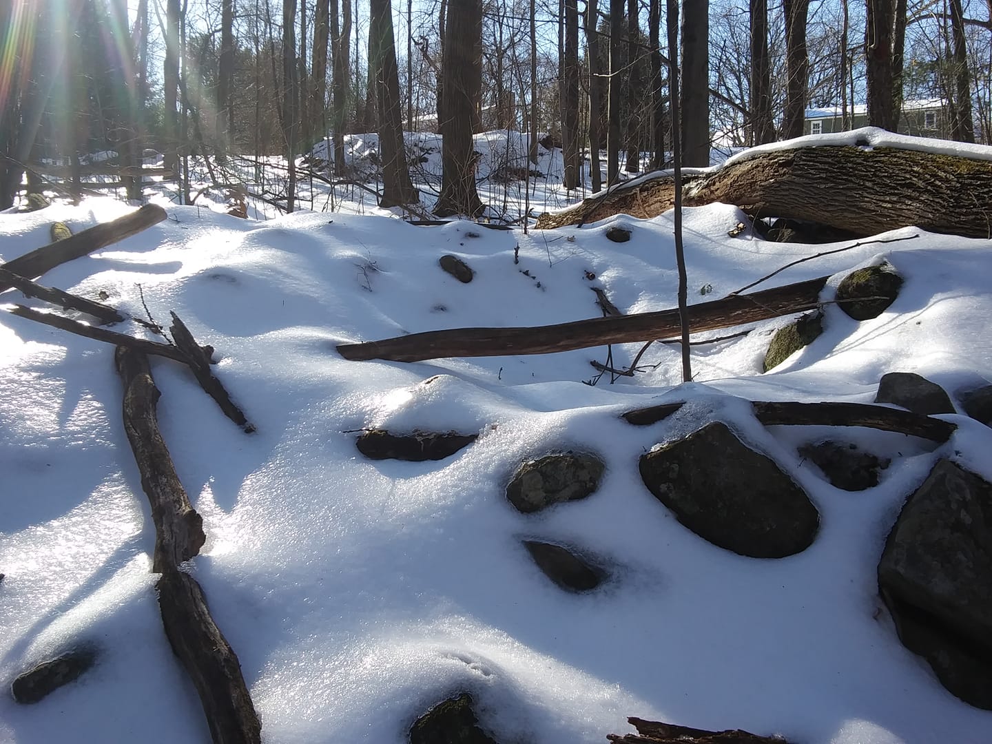
Let's have a look at the main mounds, in chronological order of discovery. I will show details after. First we have the "main" mound I saw from the path:

Mound 1
(Note the boulder)

Mound 2 (shown above, near split filled rock)

Mound 3

Notes:
Mound 1: Several smaller piles nearby.

Smaller piles, behind:
Again, note the boulder next to one of them. Some other views of mound 1:

Mound 2: We already saw the adjacent split filled rock. Here is a view back towards this mound, from one of the smaller "satellite" piles:
Some of the "satellite" piles were vertical sided. Others seemed to be more horizontal, with a hint of structure:

Finally, Mound 3:
This seems double chambered with a bit of a tail. Distinctly rectangular. Here is a satellite:
A pretty exciting acre or so, in the woods.

Sunday, February 10, 2019

Quisset Wildlife Management Area - Mendon MA

Round Meadow Brook is a principal tributary of the Mill River, which joins the Blackstone River in Woonsocket. The brook's headwaters form a pleasant little valley that you drive into from the north. There is a good sized conservation land there, full of rock piles, and I have barely scratched the surface. At the beginning, driving in and passing Quisset Hill, I feel there are rock piles to my left, then I see them behind houses:
It is a natural location: the brow of a hill, looking west out over a wet valley.

Continuing to the dead end, I parked, and from the parking area went downstream (blue outline 'A'). I saw a few rock piles here and there, and nice stone walls, as shown previously. Here we look west across the brook to a small niche, and beyond a pile on a boulder:
Closer: 

I continue across and west up the hill (Inman Hill) and somewhere around blue outline 'B' there was another distinct site.
You see rock piles like the above, receding in a line to the right in the next picture. There are also piles along the edges of those bumps on the left.
Here we look back at those bumps, from another pile in the 'line'.
 The actual "bump":
Another pile, with better view of nearby walls. The walls are like the earlier ones but not as heavy.
Seeing vertical sided piles in many places, I was thinking these sites are calendrical ("marker" pile) sites. In most cases, within outline 'A', I did not see any lines or spacings that I associated with vertical sided piles. Now, part way up the hill, it did seem more like a typical "marker" pile site.

I did not get any higher on the hill and was worried about getting lost, so I swung around to my left and downhill, hitting the dirt road (dotted line on the map) and heading east back towards the entrance. There were larger mounds at 'C', which I will post about later. 

For now, let me comment that this "Meadow" is just one of dozens of similar topographies in the areas between hills like Quisset, Inman, Daniels, and Chestnut. Dozens of opportunities for exploration. If you live near, you should take advantage of what must be some pretty nice woods in there.

Coincidence of Shapes?

Another Karen Lucibello Daigle photo:
I saw this yesterday and immediately thought of Oley Hills:
And Karen mentioned that it also resembles this Markham Starr photo:
from:

Wednesday, February 06, 2019

When ancient trails become visible - more appetizer

It is that time of year when the dust of snow makes faint paths visible:

Sightline created in spite of stone wall obstruction

From the Quisset Wildlife Management Area in Mendon. The area has some magnificent stone walls capped with flat rocks in a very tidy fashion that I think of as "18th century".

Yet the "18th century" look did not prevent there being rock piles in close proximity. Looking back at the  previous:

Here, in the next picture, I came up to a rock pile and found it to be part of an alignment that intersected at the exact place where the wall had been broken down, creating a view of a solitary rock on the outcrop behind. Too much of a coincidence, consider the possibility that the user of the sightline restored the line, sometime after the wall was built.
More on this woods later.

Monday, February 04, 2019

Appetizer

Roadside Attraction - RT 495 South

A moment before passing Taunton Street in Wrentham:
Several people familiar with the George Street sites told me to look north of the road, on the little hill.