Wednesday, December 30, 2020

A Familiar Rock at the Gumpas

Reader Herb writes:

This is a post I just made on my facebook page referencing some of your work


"Back around 1956 I used to walk through the woods near Gumpas Pond. I had a rock I always used to sit on because it had a concave spot for my butt and a backrest. I had moved a rock next to it for a place to put up my feet. Once in the early spring I fell asleep in the sun, woke up and found the only bobcat I've ever seen in the wild walking by. He/she didn't know I was there and went straight up in the air when I moved. The bobcat was moving before it ever hit the ground. I was searching around today for pictures of Pelham when I came upon this website. The last picture in the series is my rock. What are the chances of a picture showing up on the internet of an odd rock a person used to sit on in the woods 64 years ago?"


https://rockpiles.blogspot.com/2013/05/northwest-of-gumpas-pond-pelham-nh.html?fbclid=IwAR2tgduREMnuXbk8j5k9x3lMcDoSBLTYs2inS87fq6LipRpoZ672zBIj1XA


Thursday, December 24, 2020

Mountain View II

Tommy Hudson writes [please click on photos to see captions]:

Mountain View II is just one of many petroforms in the area. It’s on private property and I’ve wanted to see it for many years, so when I got permission, I was out there within a few days with a couple of friends and some students from Kennesaw State University (Thanks to Professor J.B. Tate (ret) and Bill Phillips). Its just four miles down the Etowah River from the Etowah Archaeological Site.


Ladd’s Mountain, which can be seen from the hilltop next to the site, was the home of a huge stone wall approximately a quarter mile long, 8’ to 12’ wide, and 4’ to 8’ tall. It was destroyed by the State of Georgia DOT and used for road fill over 60 years ago.

The Leake site is nearby and it is home to a Woodland (1000 BC to 1000 AD) village that was on a trade route connecting the Gulf to the Midwest. The Hightower, New Echota, and Tugaloo trails pass by this site.


The Shaw Mound is also nearby. It is a soil and stone mound covered in 4” to 12” quartz stones. It was approximately 100’ in diameter and 25’ high. It was looted and the stones sold for fill.

Also, there is Ladd’s Cave, which was looted, then destroyed by mining. It contained Woodland artifacts and at least one burial. It’s been reported that some of the artifacts were copper.


On a recent trip to the site I tried some drone video, but it was too sunny and even with the leaves off the trees the cover was a little thick. I’m talking with a contractor/client who has a Total Station and I’m asking him to survey this site and a couple of others. We’ll see.

Please see the attached photos with captions for info on the site.

Monday, December 21, 2020

Hey its the soltsice!

 To my friends and readers: congratulations on a new year. 

Tuesday, December 15, 2020

Old rock pile site in eastern Canton

 I drove north to Boston along Rt 24 and saw some interesting looking rocky woods next to the highway around exit #20, so on the way back south I planned to exit there. Before the exit, heading south, I saw a different bit of rocky woods, so I switched my plan, exited, took the access road, and parked behind an empty Xerox building. 

I walked up and around the outcrops, impatient to see rock piles. After perhaps 5 minutes, "There they are!"

These visible piles, drew attention to a bit of uneven ground that, on inspection was all old, leaf-covered piles:

Thinking about it later, I wish I had tried to photograph the low linear structure that runs along the back in these last two pictures. Here is more uneven ground:
Note the moss covered rocks on the pile in the foreground. Maybe the air is particularly wet in this place, near a brook, but the pile looks old to me. Note also the stonework in the outcrop behind.

There were a few dozen pile scattered around several acres. They are not easy to see and it is easy to believe they have been overlooked:     

I should have payed more attention to the brook that was flowing bye at the foot of these outcrops. It might have been headed west. towards "Pequit Brook" and the Nemaskett River. Otherwise it was headed east into a network of swamps and marshes - so it is a little hard to determine which watershed the site was in. It felt old to me, especially the low-down linear structures I ignored at the beginning.

Monday, December 14, 2020

Perched boulders from Framingham

 A friend of a friend sends this:

Tim MacSweeney suggested I send you these pics of perched boulders I spotted today in Framingham along Salem end Rd.

Monday, December 07, 2020

Richard Thornton's book on Georgia History

I know some of my readers think the author is too far out but I am sort-of rooting for the guy. He sends the following:

Recently published is my last comprehensive book on Native American history, the Native American Encyclopedia of Georgia.  It is the result of 16 years of research and learning how to translate 28 different languages.  Through linguistics, it proves that peoples from several parts of the Americas, Ireland, Scotland, Sweden and Iberia settled in Georgia - particularly in the gold-mining region - then mixed to become the Creek Indians.  Henceforth,  most of my energies will be put into the study of individual archaeological sites and the output will be animated films, showing what these towns looked like when occupied.   I have recently obtained state-of-the-art virtual reality software from France (Artlantis) plus professional quality video and acoustical software from companies in the United States.

Coming in 2021 is an annotated transliteration  of Cherokee Principal Chief Hicks'  History of the Cherokee People.  Handwritten in 1826,  Chief Charles Hicks planned for it to be printed by the Cherokee Phoenix, but he died in January 1827.  For unknown reasons, Phoenix editor,  Elias Boudinot never got around to printing it.  The original manuscript was stolen last year, so this book will be the only public source. 

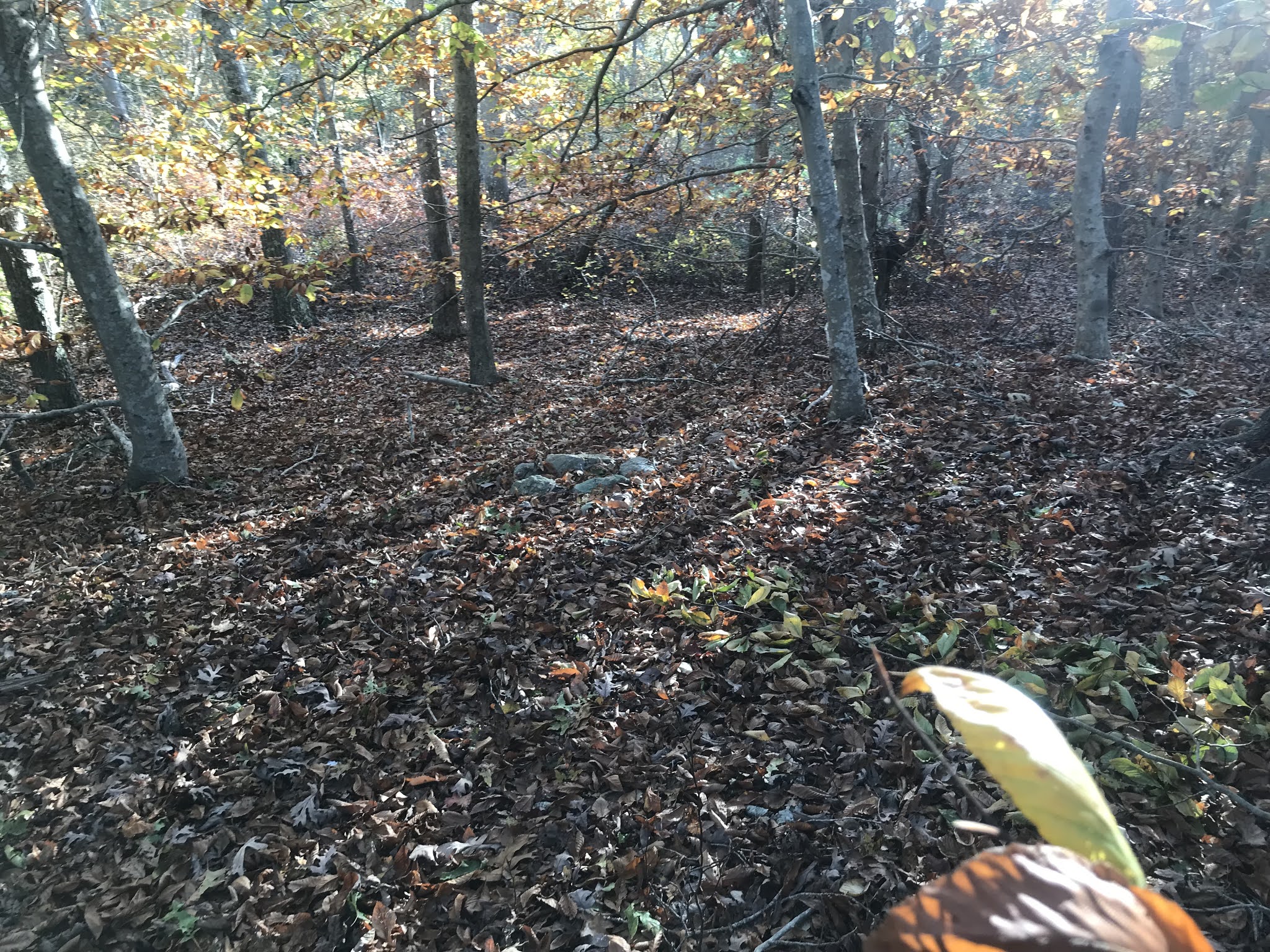
In the past two years, my archaeological research has absolutely proven that during the Bronze Age, bands of people from northwestern Europe settled in the Georgia Gold Belt.  I am documenting their town sites right now.  The Itza and Soque Maya colonists built mounds and towns on top of the earlier European settlements.

I will be on the cast of a History Channel documentary to be broadcast in 2021.  It was filmed in late October.   Lost Worlds documents my discovery of a large Maya-like town in the northern corner of this county.  Its founders were the Soque from southern Mexico, who were first associated with the Olmec Civilization before associating with the Maya Civilization . 

Wishing you the best in the coming year, despite this terrible pandemic.  Like a lot of other people in the Nacoochee Valley, I had Covid19 last December.

Sincerely yours, 

Richard Thornton

Mavor's Missing Manitou stone

In Bebe ("Beebee") Woods, Falmouth you come across signs of ceremonialism any time you cross from A to B and pass through a new piece of woods. Parking at the end of Two Ponds Rd and stepping onto the hard-to-see path, head into the woods and take the first left. This brings you to a famous crossroads, mentioned in Manitou, in the chapter A Tract in Falmouth. We took another left at the crossroads and saw this split wedged rock, to the left after a few steps:

We continued cross country and saw this. I am showing a young friend how to spot these things.
Heading back, at the cross roads, I noticed this "manitou stone" leaning against the stone wall.
In Manitou they mention a quartz manitou stone at this same cross roads. I vaguely remember reading that Mavor considered taking that quartz stone home, since he thought it would not be long before it got noticed and stolen. But he decided to leave it in place - maybe figuring that stealing it was a poor way to prevent it being stolen. Anyway, the quartz manitou sounded like a nice artifact. I know I looked for it in the past and did not see it; but I cannot recall if Mavor noticed it was gone. 

I find it curious that there is, in fact, a nicely shaped manitou stone at exactly the same spot. Granite not quartz. Were there two different Manitou stones there? Also, I cannot find mention of the quartz manitou - maybe it was written about in some other Mavor publication. Maybe it was all a dream?

Saturday, December 05, 2020

Tuesday, December 01, 2020

Cape Cod footpath?

 Reader Diane sends these pictures and writes:

Hello, 

I'm looking for any info regarding this raised linear foot path.  Its located in a cedar swamp / forest in South Yarmouth Ma.  The water table here is very low so the swamp appears dried up for now.  This area is a few yards away from a pond.  

Saturday, November 21, 2020

Golden Eagle on a Ceremonial Structure

Somewhere in Spain (Valle de Iruelas Avila?)...

Somewhere on YouTube....(here)

Looks like one of those burials they excavate in Scotland. Being as how we are quick to spot such things, here in archeology-starved New England, it is quite possible that they don't realize it is a prehistoric structure, there in Spain. 

Thursday, November 19, 2020

Ice Age Relic/Balancing Rock (Watertown CT)

Florence T. Crowell Photo Accessed from: https://www.facebook.com/334846928460/photos/a.337556648460/10157676881323461


Watertown CT Historian Charlie Crowell writes: "Before being used as a monument, this stone was known as “balancing rock.” At its original site, it sat on top of a rock outcropping and was so finely balanced that a small child could push it and to would rock back and forth, but it couldn’t be knocked over. The seemingly precariously balanced boulder was left in that position by the last ice age. The process of dragging the rock to its present site was grueling and laborious. It was done using horses..."

In a personal communication to my friend Al Conley, Charlie notes:  "Richard Sperry, owner the land where the boulder originally sat, wanted to keep it as a balancing rock even after it was moved and set up as a monument. He thought engineers could handle the job, but it never happened."

More here: http://wakinguponturtleisland.blogspot.com/2020/11/ice-age-relicbalance-rock-watertown-ct.html


Tuesday, November 17, 2020

Indian Rock Piles in the Massachusetts Woods - Waksman's 2014 lecture in Acton

Edited a bit, sloppy in some places, nevertheless this contains much of the basic "logic" of this subject. Hope it is entertaining:

Friday, November 13, 2020

Split Wedged Rock - Sippewissett


There should be word for this: when a dog posts guard on top of a structure.


Note the steel drill holes and the already removed portion of boulder, on the left side. You may need to zoom in to see the wedge. The missing piece of boulder was not nearby. In the course of trying to convince a friend that this was a ceremonial structure, I argued myself into the position that this wedge could have been used as a separator, inserted when the rock was first broken, to keep the sides offset from each other during subsequent moving and removal. Of course that does not preclude the wedge having been used with ceremonial intentions as well. :)

Connelly Hill

 Are there any readers from the Holliston/Upton area that can go check a site? I was glancing at the map:

Given the extremely rich collection of sites just to the east, it seems obvious that there will be sites around the marsh, circled in red. 

I checked the satellite view and there are building all around, so this may involve some tresspassing. Any takers?

Thursday, November 12, 2020

Which Turtle? Which Place?


The Significance of a Stone Turtle 
 Or a Turtle Made of Stones 
Depends on
Which Turtle in Which Place

Above: Judges Woods Turtle Effigy (incorporated into a "memorial"). Below: A Diamondback Terrapin Effigy above the Hammonasset Salt Marsh, "Hunting Grounds," like Ed Lenik says, not for a Turtle Clan, but for the Diamondback Terrapin, if you are looking for the simplest answer as to "Why this particular Turtle in this particular place?"


As a modern day observer of Stone Turtles
 Or Turtles Made of Stone 
The main significance is that the Stone Turtle speaks, saying:
 “Indigenous hands were on these stones,
    Placing them just so in order to resemble Turtles…”

Wednesday, November 11, 2020

So what if it looks like a turtle?

OK, I may be in some disagreement with my colleagues who are sending pictures of rocks that look like turtles, or rock piles that look like turtles. I figure I should ask: what is the significance of a rock or rock pile looking like a turtle?

We are aware that the turtle is a very important creature with its thirteen shell plates and it place in the mythology as the creator of earth. But let's take a rock, for example, that everyone agrees looks like a turtle. "There is a turtle....it was revered".

What I am curious about it whether my colleagues leave it at that? I want to propose something else: that the rock with a point on it, and the pile shaped like a turtle had a function which is enhanced by the turtle presence, but that is not the primary characteristics of the feature. 

What I mean is, the pointed rock might cast a sharp shadow, or the turtle pile may have the same function as other piles nearby that lack the turtle shape . In both cases I assume that primary function is made stronger and given more power due to it being a turtle. 

But to have a modern observer experience a turtle shape does not seem to say a lot about the past. So I ask my colleagues what they make of it, beyond observing a turtle's shape?

Sunday, November 08, 2020

Another Quick Comparison


Possible 'Turtle' Rocks

Norman Muller writes:

I read your recent post about single stones resembling turtle heads.  Maybe yes, maybe no,  I prefer something clearer, such as that turtle petroform at Killingworth, CT, with its prominent head, carapace and legs, particularly visible on one side. 
Or that remarkable turtle boulder in Voluntown, CT, that Larry Harrop discovered (P1120480), 
which has an anthropomorphic construction on top, perhaps alluding to the origin of man.  Or a large glacial erratic in Rochester, VT, which from one side looks like an upraised turtle head (DSC0030).  
Whereas from the other side there is a curious stone platform attached (DSC0120), the latter
perhaps emphasizing the importance of this particular boulder.

A Quick Comparison


Saturday, November 07, 2020

A couple turtles in Beebee Woods, Falmouth

A small concession to my friend Tim MacSweeney. I have to admit that these rock-on-rock examples had turtle head shapes. Seems pretty deliberate. 

At a low point

On a slope

Thursday, November 05, 2020

A minimal site in Woods Hole

A site can occupy as little as 10x10 square feet, so it is not surprising to find something in even the smallest patch of woods. There is a thin strip of woods across from the entrance to Devil's Lane and I poked my nose in their yesterday. Saw a little circle of rocks, too small and uncharred to be a fireplace:

A bit small for a person to have sat in, I suppose this is a 'niche'. But the thought also occurred to me that it might have been a small 'U', now stoppered after use.
A few feet away on the knoll, something that would be easy to miss, four rocks in a row.
Straight lines make me think "astronomy". Mavor was up and down in these woods.

Saturday, October 31, 2020

The spread of Mississippian Culture

https://theconversation.com/cahokian-culture-spread-across-eastern-north-america-1-000-years-ago-in-an-early-example-of-diaspora-130106

I was enjoying reading this article, especially as they did something rarely done: they showed a picture of an arrowhead. I don't know about you, but I judge arrowhead style to be a good cultural indicator. If you find a Clovis point, you assume a Clovis culture. Similarly, if you find a notched triangle, like the above, you assume a common culture. In this case we can call it "Mississippian".

OK, so here are arrowheads from the "Sinagua" culture, from near Prescott AZ:

Note that the small one (and it is pretty tiny) is a notched triange - clearly from some version of a Mississippian Culture. 
Question: Guess where else these arrowheads are found?

Answer: "Pre-Classic Mayan Arrowheads", retrieved from Google image search:

When I realized the authors were un-aware of older cultures than the Mississipian one, with these same arrowhead styles, I stopped reading. 

Should I be shocked the authors do not even know basic facts of their own subject matter?