I have been trying to find the place in Freetown that they write about in Manitou. Those familiar with the book will recall they excavated one rock pile there, under the theory that destroying one was justified if it helped protect the others. I think they did succeed in protecting the sites. But where are they? The only clue I have was that the "Bolton Cedar Swamp" was to the southeast. Turning this around, northwest of the Bolton Cedar Swamp is a pretty big area of woods. So I have been dipping my toes into various woods over there - about 45 minutes drive from home. I keep finding sites this way. But they do not match what is described in Manitou.
A couple of things make this chapter of my exploration different from previous ones. Following in someone else's footprints takes away some of the triumph of discovery and adds a burden of secrecy that I am not used to. I believe that whoever first discovers a site has, by definition, the right to keep it secret. And you don't go telling other people's secrets, if you happen to discover them. Also, a quick look at the map of Freetown State Forest shows there is a Wampanoag Reservation and a Watuppa Reservation on the western side of the forest. I imagine local Indians wanting to keep these sites to themselves. So I am inclined to keep quiet about where these Freetown sites are located. But the one I just visited is several miles east of those reservations, and it is clearly different from what Mavor and Dix described
The pile they excavated had large amounts of red ocher (hematite) incorporated in the pile. They also found some rather mysterious, semi religious, objects, like an quartz "owl" effigy. I come away with a strong sense of secrecy, privacy, and spirituality surrounding these sites. All of which makes we think I should tread carefully - which is very contrary to the impulse to communicate and share these sites. So much so, that I take a moment to wonder: are they right to take on a cloak of spirituality in their report? Consider the title "Manitou" itself. Is this appropriate? Are they discussing someone else's spirituality or are they appropriating a bit of it to make their point?
It doesn't matter so much except that I have to decide what to report and what to keep quiet about. The site I explored in eastern Freetown is several miles away from the Wampanoag Reservation, and did not match the hints provided in Manitou. Here are some mismatches: (1) They describe an area of small cedar swamps, interrupted by higher ground. (2) The sites are facing southeast, located at the southern ends of the little swamps. (3) They show a photo of what must have been a good sized, tall, rock piles. (4) They report that these are not burials.
The mismatches are: (1) I have yet to see any cedar swamps, or white cedar trees. (2) The sites I have found (especially the one reported below) are not facing southeast. (3) I am seeing some similar, good sized piles, but I am also seeing quite a lot of other things; most notably (4) Oh yes some of those are burials.
So, I will keep quiet about sites nearer to the Wampanoag Reservation, and you can let me know in comments if you feel the world would be better off knowing about the following place or not. Mavor and Dix did not find this place. It is along Rt 140, northwest of the Bolton Cedar Swamp. It is a small woods, circled by private property, bordered by the highway and a bit inaccessible. I snuck in from the south via a solar panel array.
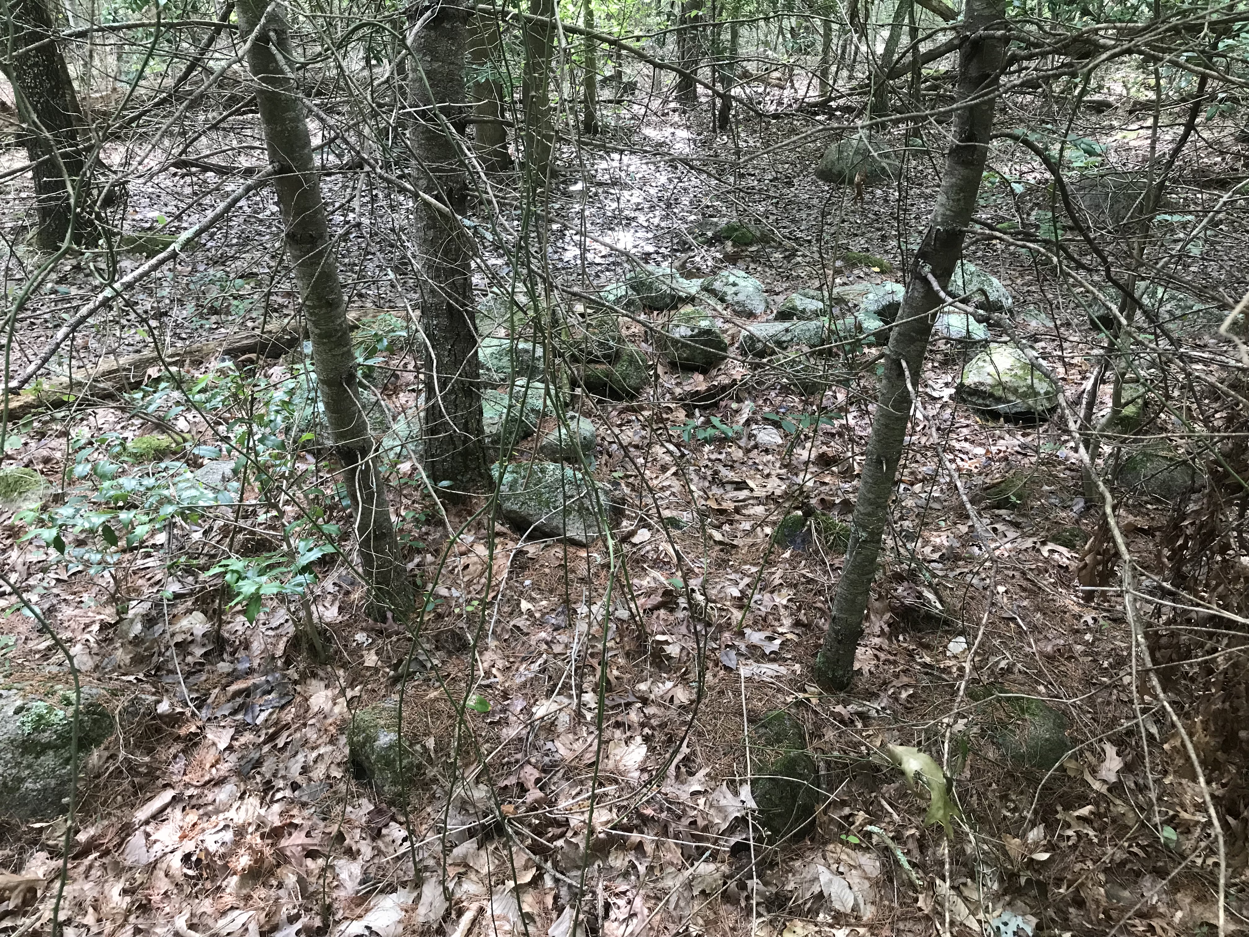
Walked north, along the left side of the array and, wanting to get into the woods, I dove in near the top of the array. Of course there were hints of ceremonialism, right there in the woods:
Looking back towards the opening of the solar panel array: we see two "rock-on-rock" lining up with a larger boulder in the background.
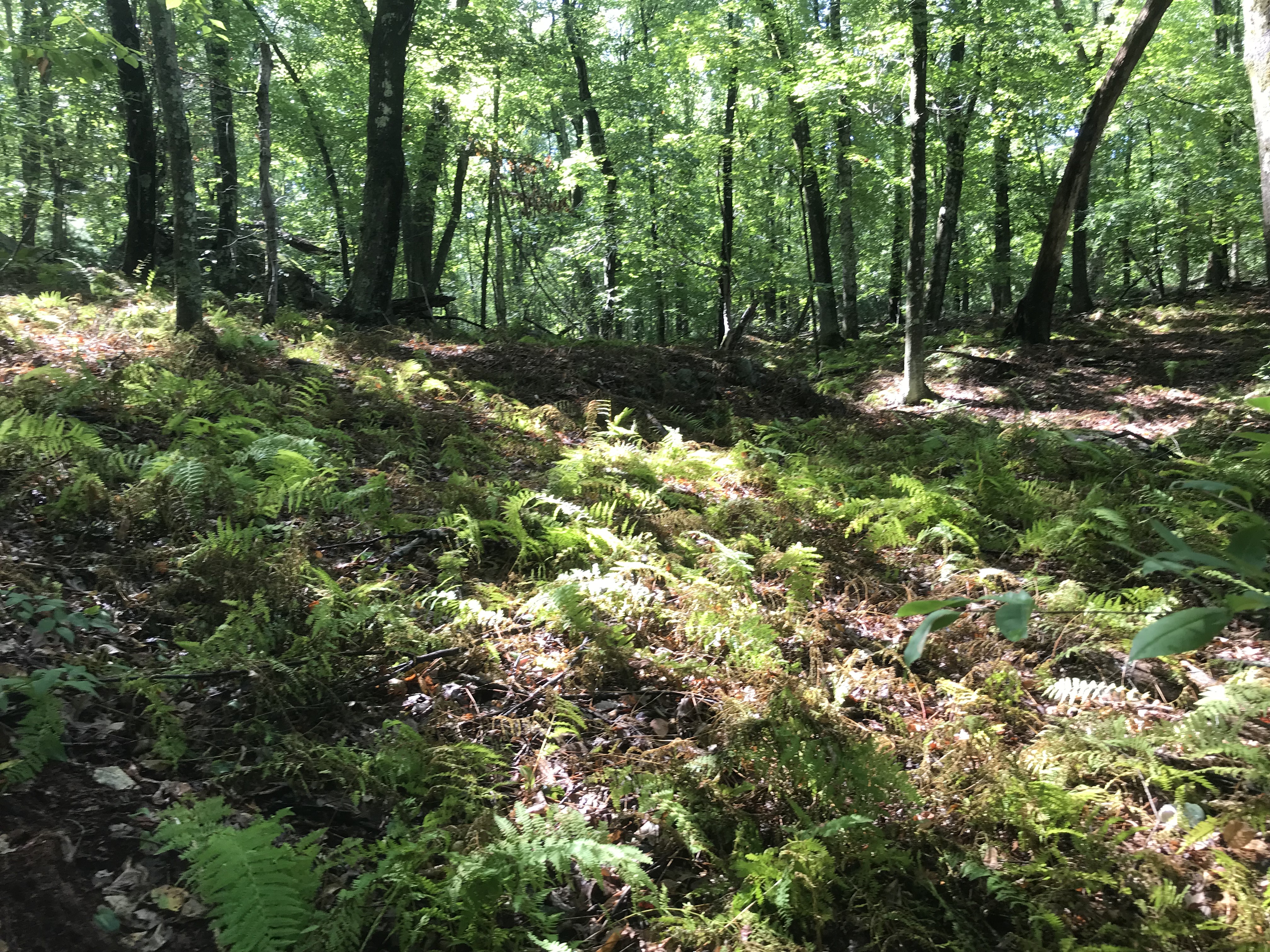
There were a few other things here and there but I was hoping to find what was discussed in Manitou so I continued north following the easier footing of an old road. My expectation was that any site that had been visited a few times would have some kind of a trail leading to it. So when I spotted a footh path heading east up the outcrops, I followed in up and northeast over towards the traffic sounds from Rt 140. But after a few minutes the trail disappeared and I was disappointed with what was to be seen along the higher ground, so I headed back downhill (west) and, started seeing rock piles along the foot of the slope, just before the ground became lower, wetter, swampier.
Here we are looking south, with the slope to the left and the swamp to the right. You can see it is pretty old and tumbled down. It must have been quite "busy" at some point:
Come to look around a bit, this almost looks as "busy" as Parker Woodland.
I proceeded north and another collection of ruins appeared. This was all around an old "foundation", as follows:
Seen from the other direction:
There were two "holes" with a collapsed central structure - a chimney and hearth?
All around the foundation were a variety of features, including large piles along the slope - more or less evenly spaced:
Linear features - in this case ending in what I took to be a mound with hollows, and perhaps a standing stone:
Speaking of standing stones, I saw several examples of "manitou" stones propped against piles. I usually do not credit this idea but I have to admit, it seems real, when you see enough examples:
In the last example, the pile itself is curious. A kind of "dented trapezoid"; with no hollow. That is not familiar to me. Maybe the 6th picture from this Parker Woodland report (click
here).
As for there being "burials", you know what I think about this:
Later, as I walked around, I saw a number of things that I think of as the oldest kind of burial: a place between rocks, covered with a bit material - now gone. For example:
And this, which seems unmistakeable.
I believe the remnants are very long gone from these places and it only makes sense to honor them.
Plenty of nicely preserved old piles:
and at least one pile that looked like it might be an effigy, with a pointy head, nearest to the camera:
As I walked back out, I saw a few other things scattered about in the low lands:
And who doesn't like to see an occasional boulder arrangement:
All and all an interesting place.