The two concave-base items on the right are barely arrowheads. I am not sure about the bottom one, the top one is pretty clearly a reworked flake. Kinda charming:.JPG)
 A "skewed" arrowhead.


.JPG)


The base is carefully worked:

Just a little flake.

Not sure why I bent over and picked this up:
.JPG)
So I turned it over, hoping to see the sharp edge of a celt. Not entirely disappointed to find the curved edge of a gouge instead:
.JPG)

OSU archaeologists, on Idaho dig, find oldest known projectile points in the Americas - KTVZ
[Re: peopling of the Americas]
Ancient Humans May Have Sailed The Mediterranean 450,000 Years Ago : ScienceAlert
The assumption that all of our early pre-human ancestors were too dumb to walk and chew gum, seems pretty typical of a field dominated by the European male.


First in a long time, since retiring and looking for new places to hunt. I do not really count the ones from places that Chris P. showed me (see here). I found this location all on my own by looking at aerial photos and following the strategy which Chris taught me: it is about farms next to water.


I never pulled it off but have always believed it would not be hard to prove a field clearing pile had (relatively) random sized rocks - a uniform probability distribution for the different rock sizes. I stumbled over my inability to measure single rocks. When I first thought about it, I also realized that an excessive number of small flat rocks could be a signal for field clearing. Just now, I heard another one: that the collection of piles making up a field clearing pile "site" is itself a mess: piles of different shapes, piles of different sizes, piles on top of each other, piles with large, medium, or small rocks. It is not hard to see when a site is from field clearing.
[Not rock pile related]
I was driving around the "Head of the Bay" in Bourne, at the top of Buzzard's Bay. It occurred to me that where they dug the Cape Cod Canal, from the north to the south side of the cape, there was a natural series of lakes and waterways that did some of the job.
This route followed by today's canal was probably a travel corridor in pre-history. In fact, as I was driving around on Bournedale Rd there was a sign saying it was an "Ancient Way" and that I should drive carefully. [Not sure if reckless driving is a threat to the archaeological record or to the mood.]
Since they found lots of arrowheads at the southern end of this corridor, near the Aptucxet Trading Post in Bourne, I figured a good place to hunt plowed fields would be up at the Head of the Bay. Well, there were a few places visible from the aerial photos but they were either all grown over, or fenced in as part of very private farms. But as I drove back and forth checking several different places, I passed a cranberry bog several times (the one with three conspicuous windmills, that you see from Rt 495) and, eventually, thought I could spend some time looking around the edges of the bog - where they had been bulldozing not too long ago. I mean, if an ancient site is going to show up anywhere near here, it is most likely to show up in a cross section that really goes down into the glacial sands.
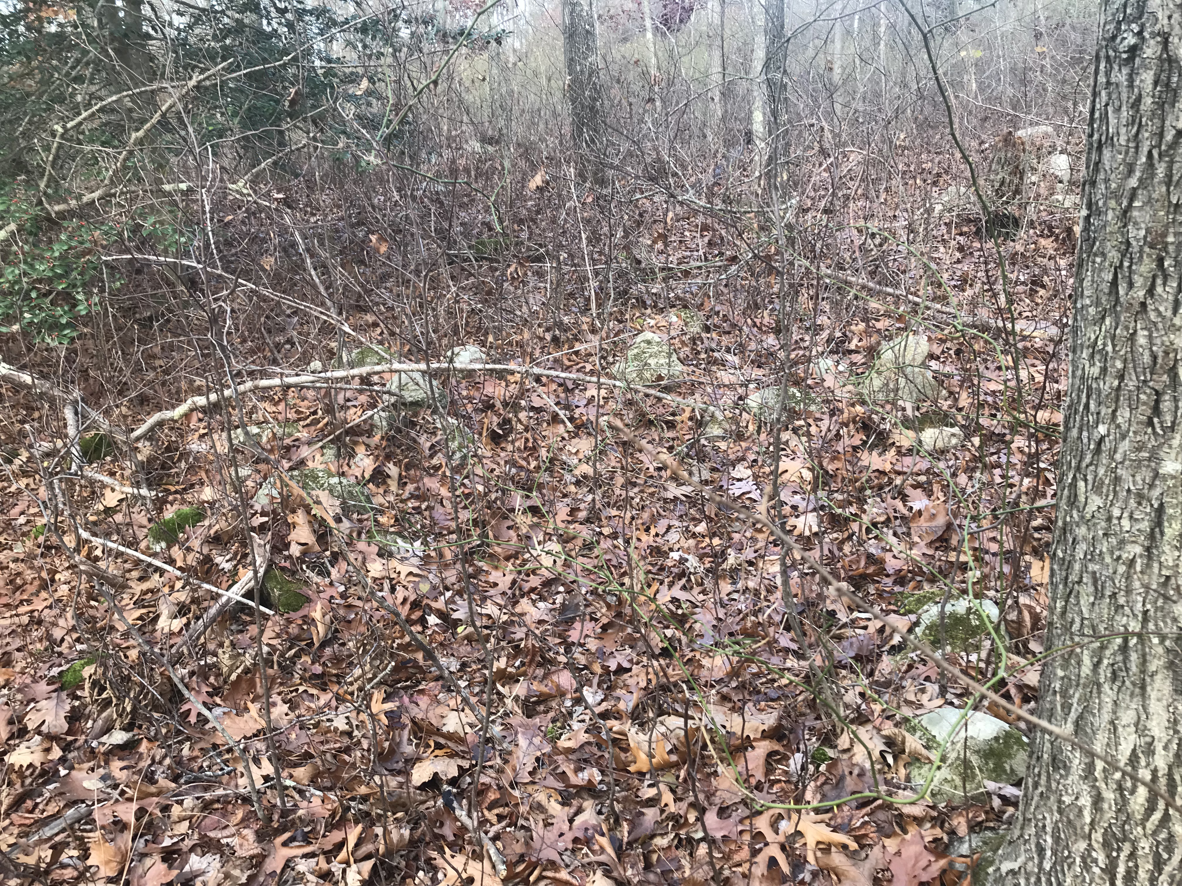
After looking around the edges of the bog, I was wandering around random piles of dirt and saw this:


But wait! Maybe the break is in the lower left of the previous picture and the lower right of this picture:

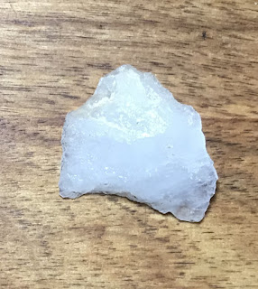
So maybe, if you are willing to spend an hour walking around newly bulldozed sand in a cranberry bog, you might find - at least - a broken quartz stone tool. It could be any age. But just because the sand is being mixed up by the bulldozer doesn't mean the find is not more or less in situ. Meaning it really is what it is: a stone tool in the glacial sand.
Did it start out on the surface or was it some depth in the sand? Well, I am not an expert but there are a couple clues. One: no weathering. Two: bits of orange (iron?) stain that have migrated into the superficial cracks on the surface of the quartz.
The long and the short of it is that this is not a completely crazy arrowhead hunting strategy. I have been eyeing some new bulldozing going on at the cranberry bogs along the Coonemessett River in Falmouth. Arrowheads are cool (and certainly what I am hoping to find) but a little bird is telling me that there could be a deeper story.
Along CA 168 near "Gilbert Pass" southwest of Fish Lake Valley at the north end of Deep Springs Valley.
What the heck is that circle?


While walking to the mailbox, I had another Serpent Surprise...

Not rock pile related but nicely done.
(2) Tom Loebel's ECIAS The Secret Lives of Paleoindians Talk - YouTube
Some very interesting ideas; for example that the largest, fanciest Clovis fluted points are found the furthest from their lithic sources. Meaning they were made for exchange rather than use.
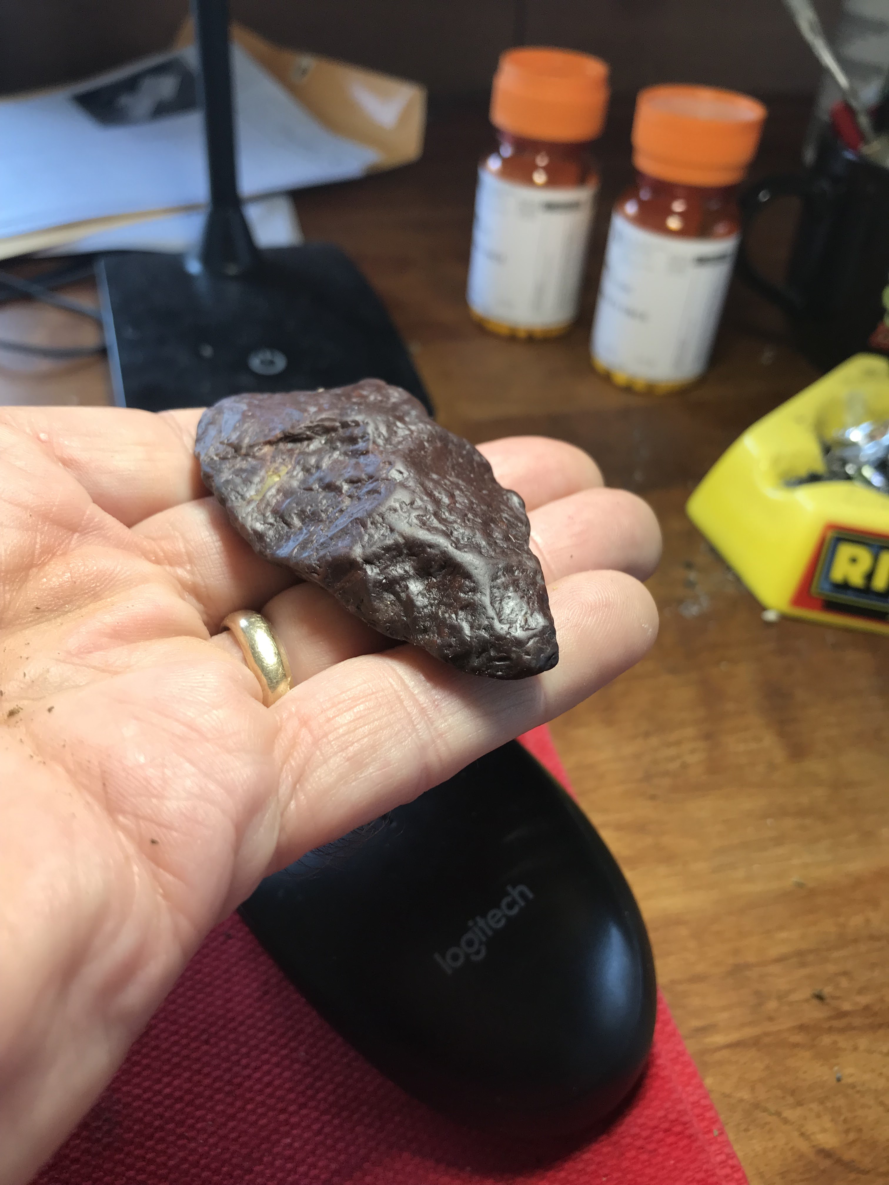
Picked this up because it is so obviously a percussive flake:
You see a "bulb of percussion", and little radiating lines. Also the curved lines perpendicular to the radiating ones are typical conchoidal fracture. I think this is called "errailure".


Also this is a cautionary example. I am out at the opening of the harbor, looking for archaeology other than those stone rings (see here). It is underfoot, hiding within un-expected tool shapes.
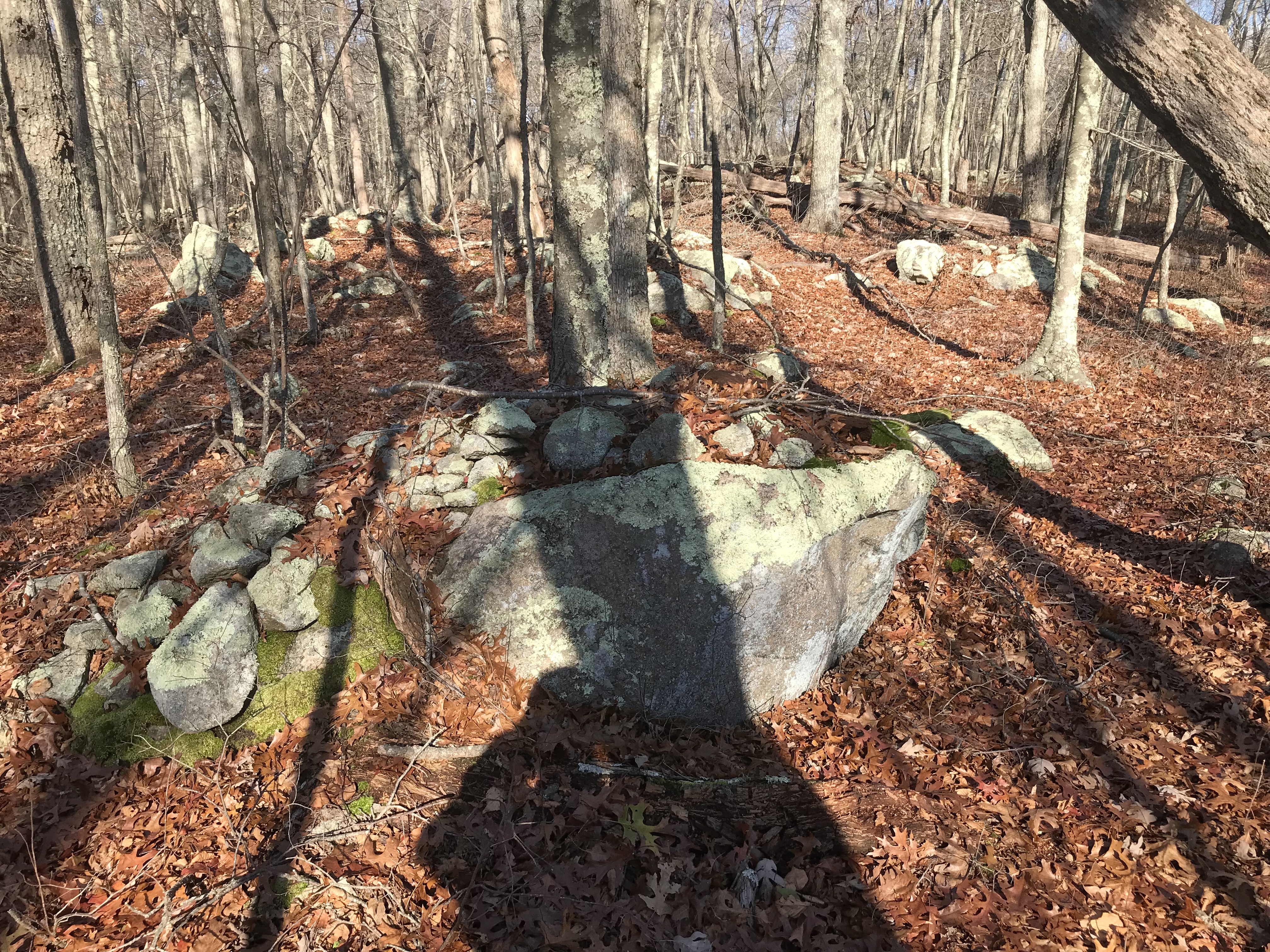
Entering Tiverton from the north on Rt 24, you climb a hill from Fall River, MA up to the sign welcoming you to Rhode Islands. From there south to Fish Rd, you can see interesting boulder filled woods on either side of the highway. I went to take a look, choosing the east side to explore and wishing I could also explore the west side. I got lucky because there was a fine culvert underneath the highway - empty but with enough room for a camp of homeless - that took me to the other side.
So, west side of the highway, a few inconspicuous outlines:


Back on the east side of the highway, I headed north towards the Massachusetts line, encountering a few signs ("evidence") here and there.