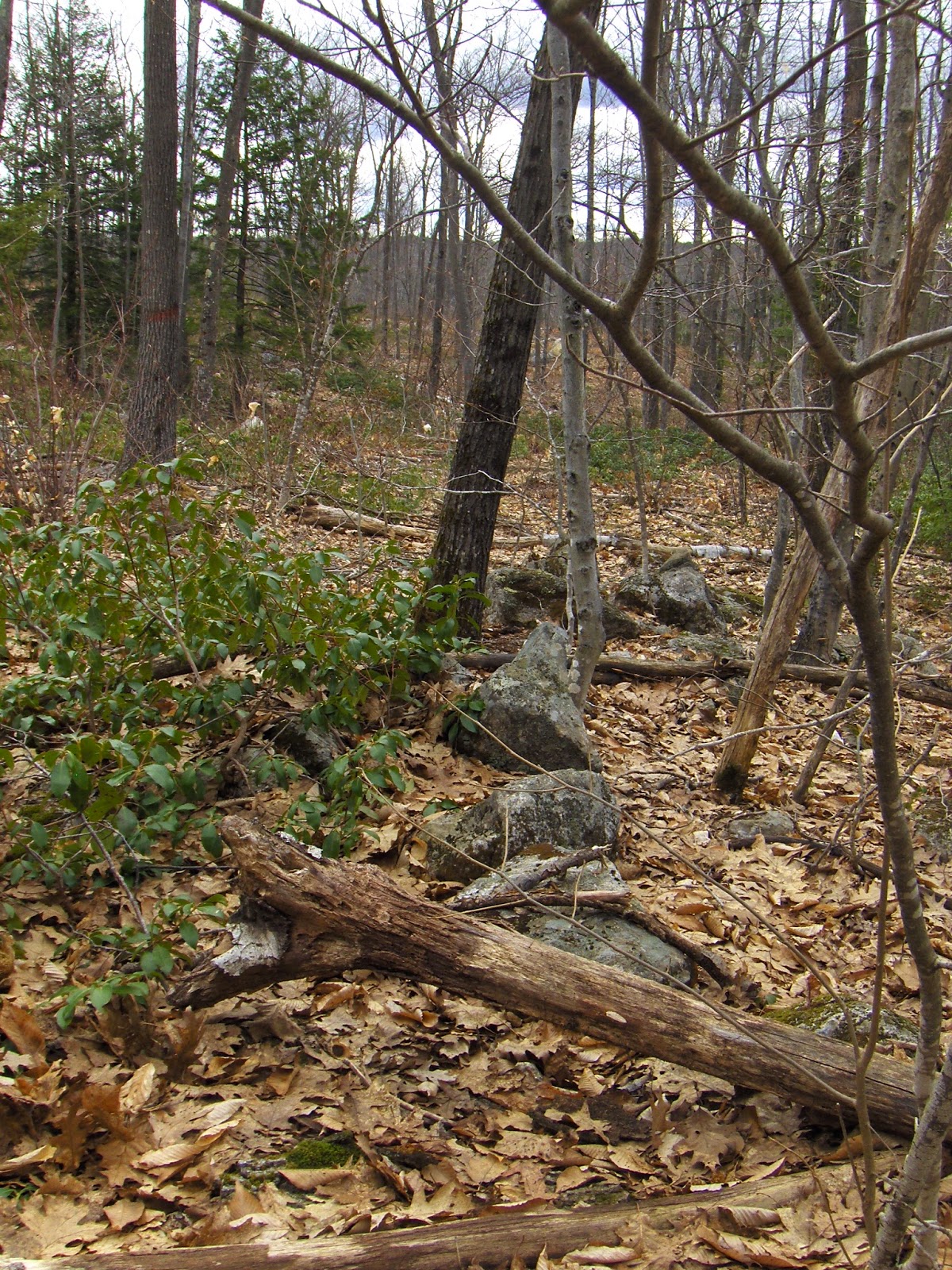
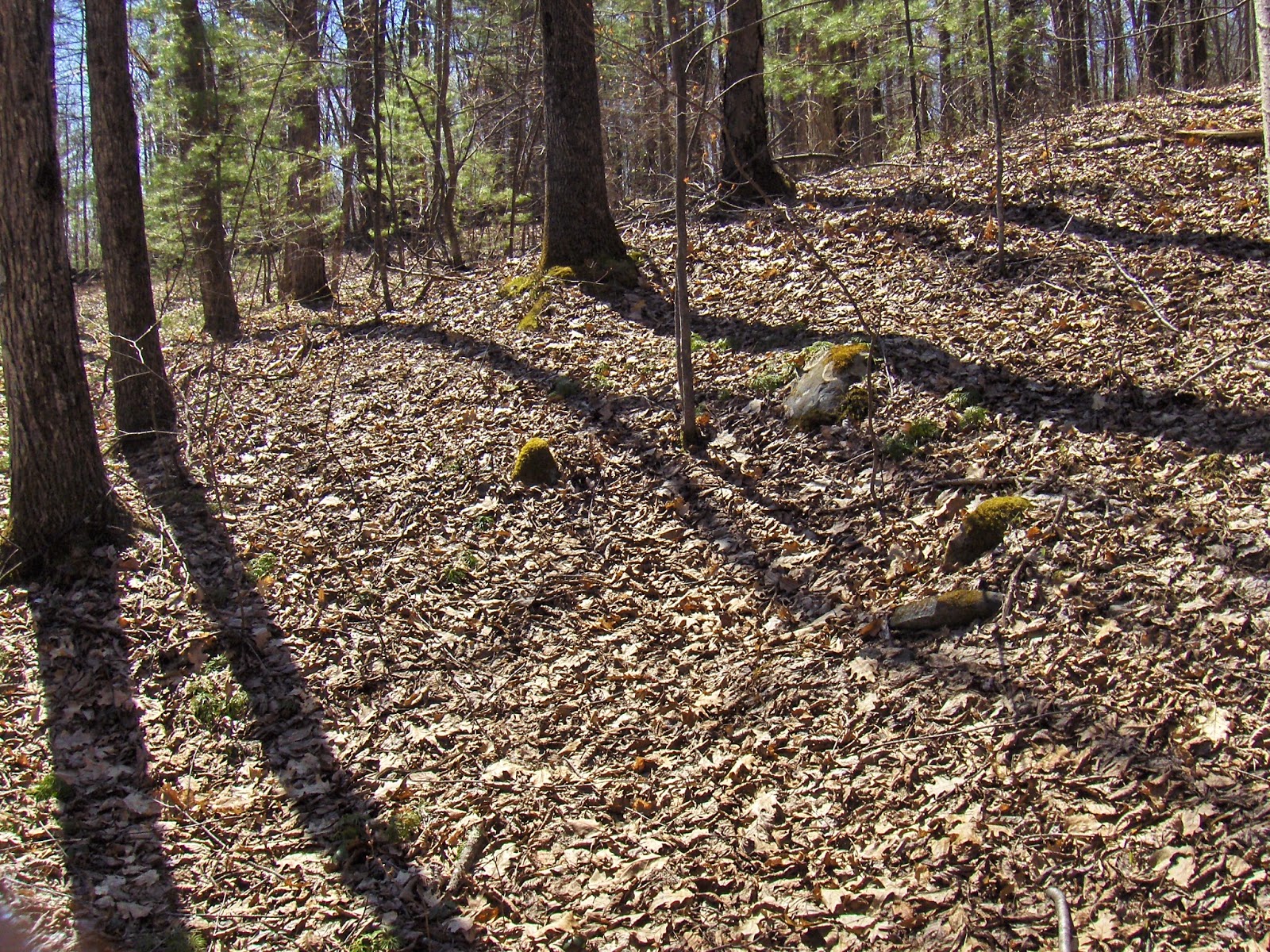
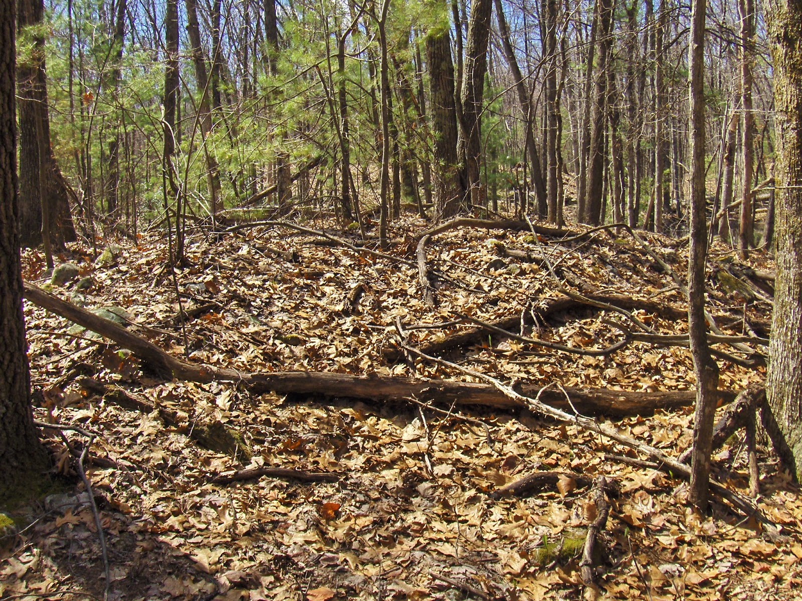
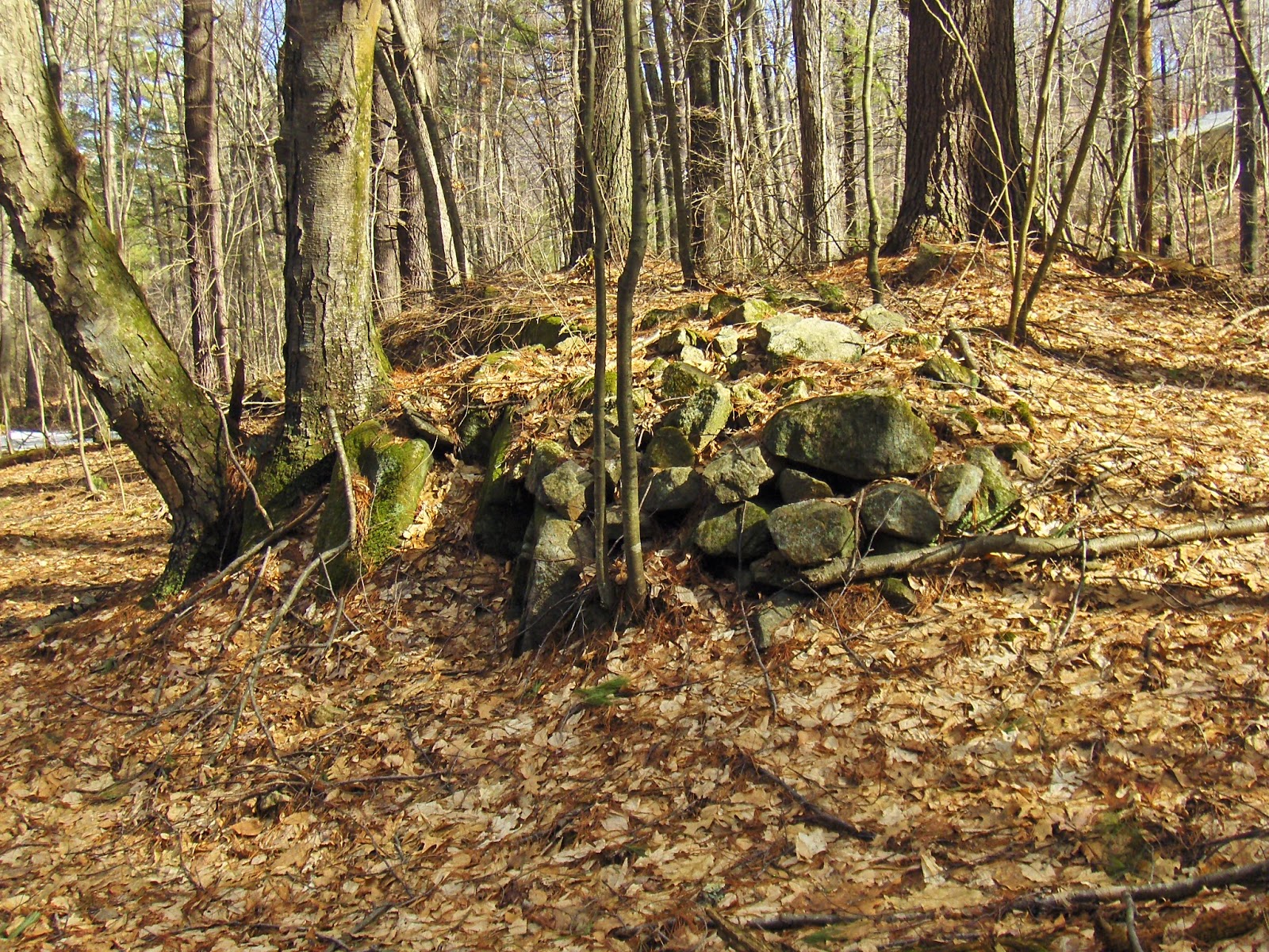
My plan was not very good. Thought it would be fun to be in Wachusett's shadow. Not much to see here, where the forest's primary enemy (the logger) has been at work. The short stretch of wall was interesting:
Next to a nearby brook, several very old structures - a bit of piling:
...and simple outlines gone to dust:
There were three or four.
Then I went back to my car and drove around. Saw rock piles out the window in several places:
Those brookside outlines were the high point.
Wednesday, April 29, 2015
Nolumbeka Events
Two events: a River Walk and the Annual Great Falls Commemoration Ceremony. Details below:
River Walk
Join the Nolumbeka Project and Connecticut River Watershed Council to learn about 10,000 years of Native American presence near the Great Falls. Learn from and speak to experts in the Native American history of this area, culminating in the Turners Falls massacre during King Phillips War in 1676. Meet at 10 a.m. the Unity Park/bike path gravel parking area on 1st St. in Turners Falls. It involves leisurely walking along paved bike path for 1-1.5 miles. Accessible to all; dogs on leashes welcome. Free (donations appreciated).
River Walk
Join the Nolumbeka Project and Connecticut River Watershed Council to learn about 10,000 years of Native American presence near the Great Falls. Learn from and speak to experts in the Native American history of this area, culminating in the Turners Falls massacre during King Phillips War in 1676. Meet at 10 a.m. the Unity Park/bike path gravel parking area on 1st St. in Turners Falls. It involves leisurely walking along paved bike path for 1-1.5 miles. Accessible to all; dogs on leashes welcome. Free (donations appreciated).
The guides will
be Nolumbeka Project Board members David Brule, Howard Clark, and Joe
Graveline. Collectively they share about
one hundred years of information reconstructed through research, observations, insight,
education, explorations, field work and associations, which illuminates the little
known history of the early Native American culture of the Northeast. All three work closely with the Narragansett Indian Tribal Historic
Preservation Office and monitor local Native American/American Indian
sacred sites
Brule, of
Narragansett and Nehantic descent, is the coordinator of the newly awarded National
Park Service Battlefield Protection Program whose goal is to identify the likely locations of the King
Phillip’s War (1675-76) Peskeomskut (Turners Falls) Battlefield and associated
sites, including the Native American community Peskeomskut-Wissatinnewag. This
is in partnership with an archaeologist, town historic commissions, and members
of four New England tribes.
Clark has Cherokee roots and his extensive research into the Native
history of this area revealed the prime importance of Great Falls as a
gathering place for many Northeastern tribes during the fish runs. The Great Falls Massacre on May 19, 1676 was a
turning point in the King Philip’s War. Clark was instrumental in securing
protection for the land across the river, Wissatinnewag, and was a signer of the
Reconciliation Agreement between the Town of Turners Falls and the Narragansett
tribe at Unity Park on May 19, 2004.
Graveline, Nolumbeka Project president, is descended
from Cherokee and Abenaki and began learning about the native culture from his
mother at a young age. He specializes in presenting the
unrepresented Indian side of American history. He was one of the
organizers of the Reconciliation Agreement; and of the Peoples Harvest
Native American cultural celebration that took place on the Banks of the
Connecticut River in Gill, MA in 2005 and 2006.
Although the river has gone through many changes the history remains
and much will be revealed and explained during the walk. The guides will also offer
a “geological primer” and give an overview of 345 million years history how the
land was formed. Early May is a prime time for this event, before the leaves
fully cover the trees. From across the river the serpentine trails down the
hill from the Wissatinnewag land to the fishing stations below will still be
visible.A map will be provided
to help identify some of these features during the walk. Binoculars might be helpful, not just to see
the sights but there will likely be migrating waterfowl and the occasional eagle. www.nolumbekaproject.org
Great Falls Commemoration
The 3rd Annual Great Falls Commemoration Ceremony will take place at Unity Park
in Turners Falls on Saturday, May 16. The
Nolumbeka Project events will be held at the River Tent at Unity Park: 1 – 1:30
p.m., Commemoration Ceremony; 1:30 – 2:30 p.m., Visioning B.E.A.R. Singers;
2:30 – 3 p.m., River Stories in Poetry and Song with David Brule. The
gathering, co-sponsored by the Nolumbeka
Project and Turners Falls RiverCulture, will this year be part of a larger, all
day event, River’s Song.
This part of the Connecticut
River is spiritually an exceptional location and the historical significance
for the indigenous peoples of the Northeast is well-documented. For millennia Great Falls (Peskeompskut) was
a gathering place for numerous Northeastern tribes during the fish runs and
served as a place where diplomacy and peace prevailed. That ended on May 19, 1676 with the infamous massacre. Unity Park is where, 11 years ago
on May 19, 2004, the
Reconciliation Ceremony was held between the Town of Montague
and the Narragansett to “begin to put the traumatic echoes of the past to
rest".
People are invited to donate
a special stone to a permanent memorial mound which will be assembled on the Wissatinnewag
site in Greenfield. These “prayers in stone”, respectfully and mindfully chosen
by each individual, will symbolize prayers for blessing, healing and
reconciliation and is a Native American tradition. Perhaps, people will choose a stone that
“speaks to them” from its natural setting or one already displaced by
construction and seeking a new home. All
are asked to be particularly careful not to remove a stone from an existing
ceremonial mound as this will deactivate the prayer of the original donor. The
permanent placement of the prayer stones will take place at a later date as
part of a gathering or, with prior arrangements, privately. The hope is that this will be an ongoing
ritual for years to come. The 61 acre Wissatinnewag land, under the stewardship of the
Nolumbeka Project, experienced at least three violent traumas: its connection
to the massacre of almost 400 non-combatant refugees of King Philip’s War on
May 19, 1676; the removal of ceremonial burials on the hill during the summer
of 1964 which were uncovered and bulldozed with other excavation debris into
the ten acre white ash swamp across the street; and many years of gravel
removal that decimated the ancient village site and left a huge, gaping scar.
In recent years topsoil has been brought into an area of the lower sand face,
wells dug, and traditional circle gardens planted that grow heritage three
sisters (corn, beans, squash), ceremonial tobacco, and sweet grass. Other
restoration efforts are underway and planned for the future.
River’s Song activities about
the Connecticut River are planned throughout downtown Turners Falls from 11a.m. to 10 p.m. and will include art making, a parade, a walking tour,
spoken word and musical performances, art receptions, and a water dance sound
& light show.
The River's Song
Project is a collaboration of the Nolumbeka Project, Turners Falls
RiverCulture, the UMASS Asian Arts and Culture Program, The UMASS Departments
of Landscape Architecture, the Connecticut River Watershed Council and the
Great Falls Discovery Center. For a full event schedule please visit www.turnersfallsriverculture.org.
Tuesday, April 28, 2015
Witches flew out of a Split Rock
Here is a very interesting quote:
"Like the devil, witches liked to hang out around large rocks for their meetings. The famous Witch Rock in Rochester got its name because the local Indians would not go near it for fear of the witches that supposedly flew out of a large split in its surface".
[Emphasis added] From "Weird Massachusetts" by Jeff Belanger (here). Found here in the section on "Witches and Wizards".
Now that I go look for it, it appears the town of Rochester MA includes these particulars about witches and split rocks in its Histories.
How about this:
"The Indians believe the spirit of the witch lives inside the rock, and during a full moon, one could hear the cackling and screaming of the witch emanating from the rock."
From here. Who knew? All these years we have been wondering about split rocks.Turns out you just needed to search on the phrase "Witch Rock"!
"Like the devil, witches liked to hang out around large rocks for their meetings. The famous Witch Rock in Rochester got its name because the local Indians would not go near it for fear of the witches that supposedly flew out of a large split in its surface".
[Emphasis added] From "Weird Massachusetts" by Jeff Belanger (here). Found here in the section on "Witches and Wizards".
Now that I go look for it, it appears the town of Rochester MA includes these particulars about witches and split rocks in its Histories.
How about this:
"The Indians believe the spirit of the witch lives inside the rock, and during a full moon, one could hear the cackling and screaming of the witch emanating from the rock."
From here. Who knew? All these years we have been wondering about split rocks.Turns out you just needed to search on the phrase "Witch Rock"!
Monday, April 27, 2015
Townsend Hill, Pepperell
Not easy getting over in here. Lots of woods but agressive "No Tresspassing" signs blocked my plan:
I have been over here once before, parking on Warner Rd. This time I gave up on my first parking place and drove around looking for somewhere I could get into the woods. Found a "Nature Preserve" down the road a bit (Locke Rd) and got in from there.
Saw this and it looked like something - a little crater surrounded by surface rocks:
Aside from that, I just followed the brooks uphill and northwest. Kept going till I ran out of brook, and then went all the way up to the top. This area is full of deep north-south valleys and steep ridges; rising 50 or so feet about the valley. In this case, "top" means the top of that next ridge.
You see lots of stone walls doing interesting things but not much else. Here the wall ends, and a solitary rock pile occurs at the same place:
After 20 yards or so, there is another rock pile in line with the wall, and then more wall resumes.
At the top, I sat down on the backbone of the ridge and looked around wondering what I might notice.
First I notice someone built up some loose rocks on one side of the bedrock (left side in this picture). Then I noticed more loose rock trailing off from this "spine" and ending in a shapeless mound with a hollow on top:
It is too bad my pictures are not clearer as this was the most interesting (almost the only) feature I saw on the walk. Other views:
Note it came to a sharp corner - at some time in the past.
(Another shapeless view).
So a mound with hollow that was more triangular than otherwise. This tells me that, at least in this part of Pepperell, the interesting things are on top of the ridges. There was little of note along the brook. So after this I explored other ridges for a while before giving up and heading out. The first ridge with the rock pile had this at its southern end:
A different ridge had this on top:
Also saw this somewhere in there:
There were a few other signs of activity but nothing fresh. This part of Pepperell, like much of the town, had a kind of darkness and gloom. It does not seem as if much ever happened in these woods.
I have been over here once before, parking on Warner Rd. This time I gave up on my first parking place and drove around looking for somewhere I could get into the woods. Found a "Nature Preserve" down the road a bit (Locke Rd) and got in from there.
Saw this and it looked like something - a little crater surrounded by surface rocks:
Aside from that, I just followed the brooks uphill and northwest. Kept going till I ran out of brook, and then went all the way up to the top. This area is full of deep north-south valleys and steep ridges; rising 50 or so feet about the valley. In this case, "top" means the top of that next ridge.
You see lots of stone walls doing interesting things but not much else. Here the wall ends, and a solitary rock pile occurs at the same place:
After 20 yards or so, there is another rock pile in line with the wall, and then more wall resumes.
At the top, I sat down on the backbone of the ridge and looked around wondering what I might notice.
First I notice someone built up some loose rocks on one side of the bedrock (left side in this picture). Then I noticed more loose rock trailing off from this "spine" and ending in a shapeless mound with a hollow on top:
It is too bad my pictures are not clearer as this was the most interesting (almost the only) feature I saw on the walk. Other views:
Note it came to a sharp corner - at some time in the past.
(Another shapeless view).
So a mound with hollow that was more triangular than otherwise. This tells me that, at least in this part of Pepperell, the interesting things are on top of the ridges. There was little of note along the brook. So after this I explored other ridges for a while before giving up and heading out. The first ridge with the rock pile had this at its southern end:
A different ridge had this on top:
Also saw this somewhere in there:
There were a few other signs of activity but nothing fresh. This part of Pepperell, like much of the town, had a kind of darkness and gloom. It does not seem as if much ever happened in these woods.
Thursday, April 23, 2015
An Historical Analysis of the Smith Farm and Stone Mounds, Rochester Vermont
From Norman Muller:
You and your readers might be interested in this article of mine which will appear in the next issue of the NEARA Journal:
http://rock-piles.com/Muller,%20Smith%20Site.pdf
Tuesday, April 21, 2015
Barker Hill Townsend
Here we are on top, where a road traverses north to south:
Not too sure what the stone wall is doing there but there was some rock piling going on in the vicinity:
There was also something larger...damaged...hidden:
Not too sure what the stone wall is doing there but there was some rock piling going on in the vicinity:
There was also something larger...damaged...hidden:
Monday, April 20, 2015
Isolated Pile by the water
A bit of water between the hills just south of Holden Rd Shirley. The area is full of rock piles but how many times have I passed this place (2 or 3 times before) and not seen anything?
I only noticed it this time because I sat down a few feet away to catch my breath. After a moment or two I spotted it:
These piles can be very easy to miss.
A Bow-shaped Wall of Stones (Mahwah NJ)
By Mark Di Ionno | The Star-Ledger
April 19, 2015
“On a low-lying bank of the Ramapo River are the tribal
ceremonial grounds and long house of Ramapough Lunaape people. The long house
is constructed of tall, weathered logs, carved with freshly painted masks that
symbolize the spirituality of man and its connection to the earth.
Closer to
the river is the tribe's altar; a bow-shaped wall of stones that grows each
time a person adds another rock. Dwaine Perry, the elected chief of the
Ramapough Lunaape, explains that each of the thousands of rocks represents a
prayer…”
Sunday, April 19, 2015
Friday, April 17, 2015
Miscellaneous isolated stone structures from northwest Upton
Some isolated finds from the previous two weekends:
Number 1
This was on my way to the upper Miscoe site.
Number 2
These were on my way back from there:
Number 3
A pair of structures:
closeup
Number4
This was on my way back from the hillside site of this report from northwest Upton. I climbed to the highpoint of water and started into the outcrops framing the ridge. This was on the right:
This was on the left:
A closer look:
Number 1
This was on my way to the upper Miscoe site.
Number 2
These were on my way back from there:
Number 3
A pair of structures:
closeup
Number4
This was on my way back from the hillside site of this report from northwest Upton. I climbed to the highpoint of water and started into the outcrops framing the ridge. This was on the right:
This was on the left:
A closer look:
Recently announced stone architecture complex in Chambers County, Alabama to be described at April 19, 2015 lecture
Via "The People of One Fire" [click here] With this sort of "official" awareness growing in southern states, I hope it will gain traction up here in the northeast. But when will a major academic archeology publication ever publish a significant article on our stonework?
North Street Upton along Warren Brook - on the way to a walk
Driving along, I see woods and think: "I would be surprised if there were no rock piles right in there behind the saplings." On North Street, everywhere you have that impulse, it is correct. Not sure of the exact locations, the red outlines are approximate positions of several different sites I saw along there, all with features quite similar to Miscoe Brook and other sites from further up the road.
Taking a quick look behind the saplings at the southernmost location, along Warren Brook:
Note the hint of rectangular:
A bit up the road:
Some quartz:
A larger quartz boulder in a broken down linear structure:
view southeast back towards the road
view north with brook to the left:
Taking a quick look behind the saplings at the southernmost location, along Warren Brook:
Note the hint of rectangular:
A bit up the road:
Some quartz:
A larger quartz boulder in a broken down linear structure:
view southeast back towards the road
view north with brook to the left:
Subscribe to:
Posts
(
Atom
)