(and an unclear reference to a Split Rock)

“Tataemshatt’s son, Catharickseet, was also a sachem of
Taconic. His name appeared on several deeds. He was heavily relied on as a witness
who remembered the boundaries of the Livingston Patent. He identified a certain
pile of rocks, called Wawanaquasick, whose location was in dispute. Later on,
in court testimony, Joseph Van Gelder, John’s son, spoke about this pile of
rocks (Dunn 2000:89-96; NYHS 1768). Joseph said Nannahaken, Skaunnop, Poniote,
and Umpachene (all Mohican leaders) had told him about the rocks…
… According to son Joseph Van Gelder, “his Fathers Land was
near the flat Rock, the Rock fifty or sixty Rods to the East of his Fathers Land”
(NYHS 1768). The rock Joseph speaks of could well be a large formation located
west of the village of Great Barrington, Massachusetts, between a road called
the West Sheffield Road and the Green River at the base of a hill thought to
have been used as a look-out by the Mohicans. It is also near the Big Springs
area.
A petition of February 8, 1743, by Samuel Winchell, Sr., as
well as surveys in the Proprietors’ Records for neighbors James Saxton and Samuel
Winchell, Sr., support the location (MA 46: f. 152). In addition, the vestiges
of an old farm road that led from the area to South Egremont can still be seen.
The age of the road is unknown, but it could have originated with the
eighteenth century inhabitants, or even with the Mohicans themselves. West of
South Egremont lay good hunting land. John Van Gelder’s land most likely lay
directly west of the rock. (See Map of Karner and Van Gelder lands, Figure
10.3.)”
{Debra Winchell: The Impact of John Van Gelder, Mohican,
Husbandman, and Historical Figure Page 130 - 133} included in:
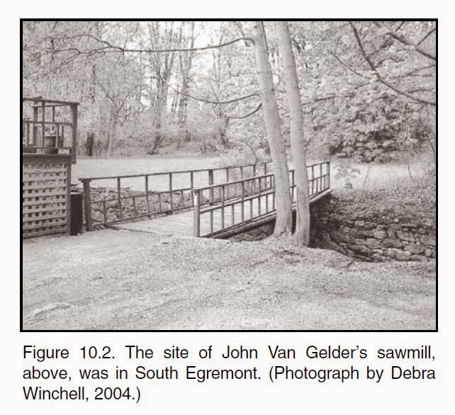
Post Script:Another photo includes a stone retaining wall that I thought Curt might be interested in as historic and possibly Indigenous:

No comments :
Post a Comment