I took a walk on Sunday that was somehow moving, although there was nothing special about the sites I found. I noticed a forest road leading in from the south (see it on the map, starting near the reservoir?) and covering lots of new territory on the southern part of the main hill . My plan was to go north up the road to the first high point, then over the hill into the valley and then up the valley. A very limited experience with explorations in this region north of the Fitchburg Reservoir, suggests that one is best served by exploring ravines, not hilltops. So I wanted to have a thorough look at the headwaters of the brooks in that valley.
Off I went with the usual complaining legs, wondering if I was just getting some exercise or whether I would see any stone structures on the way. I walked and walked, steadily uphill, until I got to the rock piles (at B). I did some tough bushwhacking but there were also a number of forest roads in there and, to my surprise, there is some kind of residual agriculture up on top of those southern hills. I guess the soil up there is decent(?). So, although it was pretty high up, well above Fitchburg and pretty much the middle of nowhere, still there were fresh tire tracks on the road and some reasonably open woods, that may have become wooded only recently.
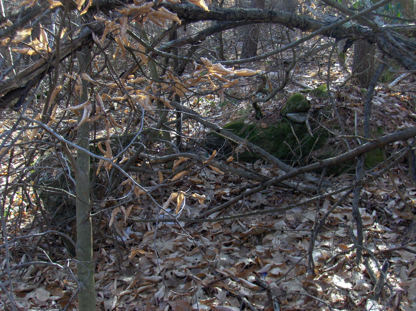
The mood gets set by things like this: I saw a large brown rock in the woods and it seemed to be part of a bunch of cobbles. Rock pile hunting instincts made me look more carefully and - hey- that is not a rock!
I'll spare you a closer look. I kept expecting the deer to look up and run off. But it was dead without any sign of wound. And the rock pile? I am not sure is was man-made. The soil there was almost entirely cobbles, and this was a place of erosion at the top of the valley were a steeper ravine begins. I proceeded, but with a tinge of sadness.
If you look at the topo map you can see the valley surrounded by blue outlines of the small sites I found. Near the top of the valley you can see there is more than one brook coming down from different parts of the hill. Up near A is where I saw the large "water work" and instead of heading back there, I wanted to go up towards the other saddle, following the western fork of the brook. So I got into the land between the brooks and then continued uphill, sweeping back and forth until, as I say, I got to the rock piles at B:
I think these are pretty similar to what we saw in Billerica (see the last pictures here) having attributes of somewhat even spacing and some of the piles suggesting little niches. Under these circumstances, these days when I see such things, I always go looking for a larger mound with a hollow. I found none here.
Here is one of the nicest "niches" I saw up there:
Note the large quartz cobble in the middle. Here is another view:
Otherwise, nothing too film-worthy. The piles were old; some of them poking out of the Juniper bushes:
It has been a long time since anyone was up here, paying any attention to this.
I could see the higher slopes above and the stone walls climbing up there and felt a pull to go higher up the hill. But I was confident the action was down here in the ravine. So instead I used my energy to go over the saddle and start down the northwestern side. I am telling myself the "hint for rock pile hunters: if you find something in a ravine, find the mirror opposite position on the other side down, and look there as well"...and how I need to have the strength of my convictions. Honestly I was on my last step in that direction, having met the needs for thoroughness when I spot another rock pile downhill. I was almost disappointed because my legs were hurting:
And, poking around, this led to another small cluster of rock piles (at C) around a spring fed seep, the beginning of the next brook over there.
That was that and I started back down. I stayed on the forest road for a while and came on a parked car (?) and quickly backtracked into the woods. Here, at D, was the only larger mound I saw all day. Unfortunately covered with dead trees:
There were also a couple of small outlier piles.
After that, my main goal was to get back down to my car with as little work as possible. I stayed to the forest roads while I could but eventually cut back into the woods. Saw another little cluster there (4th site of the day, at E):
Something about those high valleys with their fields gone back to woods, with their dead deer and forgotten rock piles.