Showing posts sorted by date for query Harrop. Sort by relevance Show all posts

Sunday, July 14, 2024

NEARA republished my old book on Rock Piles

I am glad this is now available again. Larry Harrop had hosted it and Walter VanRoggen has managed to rescue the book from Larry's data.

IndianRocks (neara.org)

Of course NEARA removed the site location details, so some parts of the data are not displayed. (But you can still find it in my new book.)

Monday, January 01, 2024

Small stone circles with standing stone center

[Norman Muller writes about this post] 

I saw the video clip you posted of "Mysterious Rock Structures in Great Smoky Mts. NP" and the circular structure posted reminded me of a photo of a similar structure I had saved on my computer, which was presumably found in Cades Cove in TN. (see attached).  Larry Harrop photographed a similar feature somewhere in RI (see second image below).


[Now, Peter writes]
A rock pile with a central stone is a common design. I personally think the central rock was probably for casting a shadow, as suggested by the video author. I did a search of this blog for the word "fin", which gave these and several other examples:


Sunday, July 10, 2022

Rest in peace Larry Harrop

Our community will be sad to hear that Larry Harrop died. No details are available, other than that he died in early June.

Larry was an occasional contributor to this blog and, although I only met him once, I always thought Larry took the best rock pile photographs. He did a wonderful job capturing the mystery, atmosphere, lighting, color, and beauty, of rock pile sites- mostly in Rhode Island. When I think of Larry I will always think of rock piles in the fog. His photos remain imprinted in my mind. 

His photo albums disappeared quickly from the internet but we have a few here to remind us of his work. See here.

Tuesday, January 18, 2022

CT Stone Walls

By Mark Star, via Norman, via Larry Harrop:

https://vimeo.com/666947993

Sunday, February 07, 2021

A large site in CT

 Amazing site from Larry Harrop. It is a lesson.

ns.pdf (larryharrop.com)

Sunday, November 08, 2020

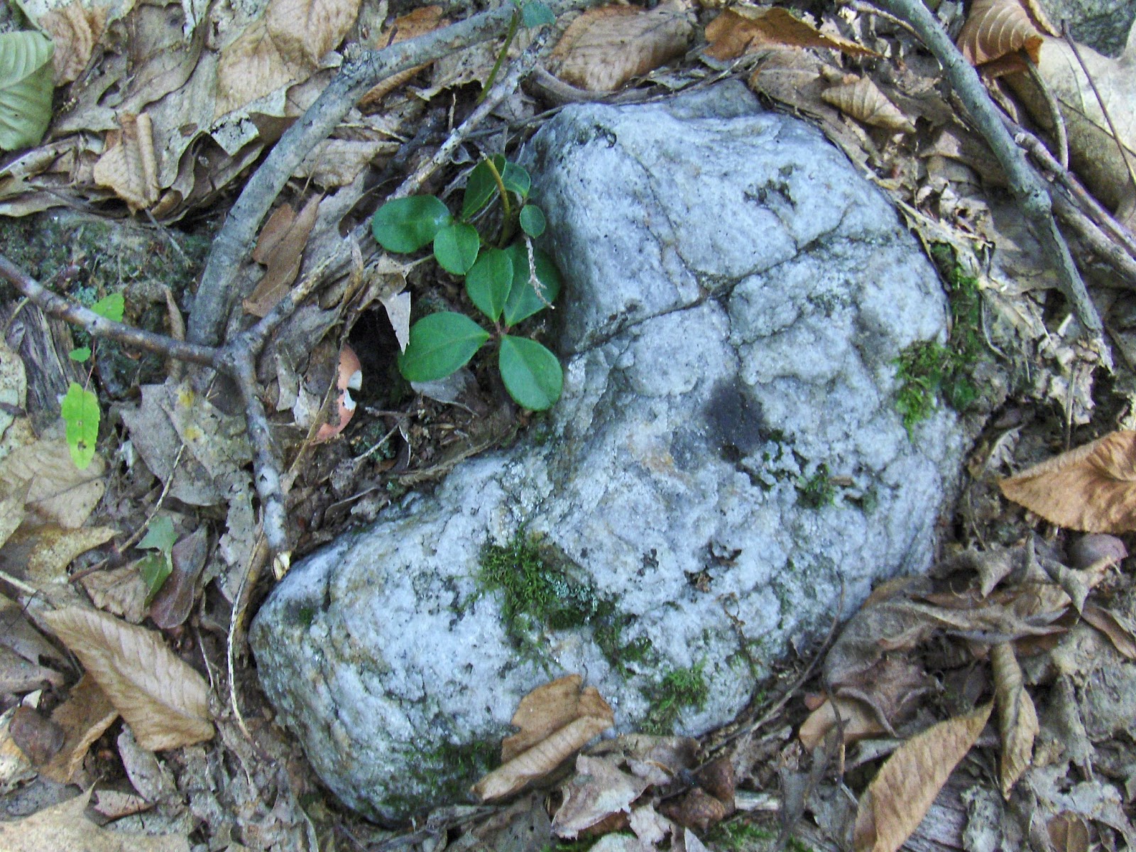
Possible 'Turtle' Rocks

Norman Muller writes:

I read your recent post about single stones resembling turtle heads.  Maybe yes, maybe no,  I prefer something clearer, such as that turtle petroform at Killingworth, CT, with its prominent head, carapace and legs, particularly visible on one side. 
Or that remarkable turtle boulder in Voluntown, CT, that Larry Harrop discovered (P1120480), 
which has an anthropomorphic construction on top, perhaps alluding to the origin of man.  Or a large glacial erratic in Rochester, VT, which from one side looks like an upraised turtle head (DSC0030).  
Whereas from the other side there is a curious stone platform attached (DSC0120), the latter
perhaps emphasizing the importance of this particular boulder.

Friday, September 09, 2016

A traverse and tour of Blood Hill, Ashby/Ashburnham

Starting at "a", I cut across towards the west end of Whitney Rd at "c".  In that one traverse of the hill, I found two clusters of rock piles. One at "b" near above a small wetland, and another at "c" where the hill had a very even but steep slope [I want to say "flat" but not meaning horizontal.]
I think the conclusion is that these sites are quite common and easy to find. But they are also easy to miss, so you have to look.

I blogged about this hill before [click here or here or here]. There are rock piles in several places. So much so, that I payed little attention to a small 'altar' I found somewhere between the main hill and the southernmost point of the above blue path, or to a third cluster when I was heading north at the end of the walk - these were adjacent to the main gully, so not really a new site.

I was having a conversation with Curt Hoffman and we discussed a principal question: why is a site located where it is? There are at least two kinds of answer: a site is located where there is some aspect of the natural landscape that is functionally useful to the site - for example a wetland, or a flat slope, as described above. Another possibility is that sites occur where it is convenient - for example along a road. We have discussed this before and I recall Larry Harrop saying his sites are usually a long way from roads and in the middle of nowhere. 

Nevertheless, the sites I find north of Fitchburg are usually near a road or navigable brook. Some of the best ones are where a road crosses a brook. So, I propose that sites are located at the intersection of landscape and convenience.

For example, where should we look for rock piles here?

Back at Blood Hill I want to mention one stone wall that fits the "ravine culture" idea I was promoting earlier. This wall came up the hill, hooked around, and ended a few feet later, with a piece of quartz. Perhaps you can make it out in the photo, it is a little bit like the large "J" in the main gully of the hill.

The site at "b" was quite beaten down. It consisted of about 10 small decrepit piles. Some on support, some on the ground. Offhand, I would say this is the same kind of site as at "c" and at the place called "B" in the link about about "a slow climb". Here are some of the piles at this "b":


 A hint of a vertical side.
Hard to say if there was any layout present. I took a few pictures then continued across the hill.

When I got to the west end of Whitney Rd I was a bit confused with the intersection of another old road there ("Breed Rd"?), and was heading north and east on it and stopped, thinking: nah there is nothing in that direction but a slow slope. I paused, unsure, not realizing I could go even more easterly. So I abandoned the slow slope in favor of turning west and hit rock piles immediately, at "c". These were better defined than the piles at "b". I want to say: teardrop shaped from above, with a piece of quartz, or burnt rock in them. Here is the scene:
And some of the piles:
 closeup
closeup
Some of these are getting rather big.
I take care to document these examples of piles with a corner or "point"; and with piece of quartz at the point. It happens exactly in this way at Patch Hill in Boxboro (have a look).
And here is one with a flat slab above a burnt rock:
 closeup
And that is it. 

Saturday, January 03, 2015

Norman

Petroforms

Petroforms are boulder outlines on the ground, often representing turtles, snakes and animals, and some of the most famous examples are at Tie Creek in Manitoba, which Jack Steinbring mapped years ago when he taught at the University of Calgary.

We have petroforms here in New England, but many go unnoticed because they are flat on the ground.  One of the more interesting examples I have come across is in Hopkinton, RI, in a cedar grove with moss and lichen covering the granite bedrock. 

Petroform is on the ground in the middle

A close-up view of the petroform showed that the stones were well seated in whatever soil covered the bedrock, and were in turn covered with lichen.  To me, this indicated that the petroform had been in place probably when the bedrock was fully exposed.  In other words, the feature was ancient, and perhaps thousands of years old.

  
The petroform was then mapped with a grid, and the results are here:


Although it is not clear by the drawing what the petroform resembles, the close-up photo, above, seems to represent a turtle.  Near this petroform, and in the same type of terrain, is a large flat-topped stone mound constructed on a low outcrop.


Bob Miner found another petroform in a dry vernal pool at the Carter Preserve in Charlestown, RI, which seems to represent another turtle. Larry Harrop photographed it: 


Nearby in the same vernal pool was a wedged split boulder.  When Larry removed the thick moss covering the split, the wedged rocks became visible.


The question remains, when were these stone features created?  Certainly they must have been made when the pool was dry or perhaps before the vernal pool was formed.  In any case, both features look ancient.

Friday, July 11, 2014

Druid's Circle/Boyscout Folly at Spring Hill in Acton

If you follow the trails north from Spring Hill, where Spring Hill and the Boyscout Land touch, you may see this in the woods:


I occasionally see opposing stone "U"s suggesting multi-person ceremony [A Larry Harrop picture, I think from Foxborough?]. But those did not have seats and seat backs like here. Of course you should be suspicious of any strange stone structures found near Boyscout land.

Monday, November 04, 2013

Exeter Cairns

From Norman Muller, re Larry Harrop:
Larry sent me the attached article....  While the article is well researched and well written, it comes to the inevitable conclusion that the stone mounds are colonial, since, of course, "the Indians didn't construct with stone."  Larry found the article on the Exeter Historical Association website/blog.

[Larry writes:]
I lead a field trip to this site a year or 2 ago. This is where there is a ring of stones with a manitou stone with donations. I guess people are finally starting to notice.

http://www.yorkerhill.com/eha/Stories/Exeter_Stone_Stacks.pdf

Monday, May 27, 2013

Underwater Stonework

Norman Muller writes:
One of those photos of underwater stonework that Tim posted reminded me of a feature Larry Harrop found on one of his walks in Rhode Island, which consists of a stone circle with a small standing stone in the center.
...another example of a small standing stone surrounded by a circle of stones.  This one is found in Tennessee, and can be compared with the photo of the underwater example posted by Tim.

Wednesday, April 24, 2013

Forge Hill and the Headwaters of Mine Brook in Franklin State Forest

On the way to the Saturday lecture, I thought it would be nice to stop somewhere and explore for rock piles. Franklin State Forest seemed a likely spot:
I particularly wanted to get to those swamps part way up the main hill (below the "R" and the "T" of the word "FOREST" on the map above). When I got to those swamps, I found lots of rock piles. They were old and deeply settled into the dead leaves and I spent an hour taking pictures of the dead leaves. But I still got a distinct impression of the place - something about the arrangement of the piles; something about the hints of quartz in the walls and some of the piles; something about the topography along the edge of wetland and in the floodplain of a brook.
I'll show the pictures I got in a moment. You can imagine I was looking for large mounds with hollows in them. I found them at the end, on outcrops that overlook the swamps from the east. The whole place put me a mood that continued the next day in Fitchburg; where I saw similar hints of quartz, placement in floodplains, and larger mounds on outcrops. I felt as though I spent the weekend visiting with the old ones. First in Franklin and then in Fitchburg and the mood lasted through the weekend. But the features in Franklin seem older. They are more settled - more "disappeared" into the ground.

I parked at the end of Lorraine Metcalf Rd and hung a right at the trail-head. Got a bit mixed up and ended by climbing to the top of the hill, to the water tower. There I turned back downhill and needed a compass to assure myself I was headed southwest. I stumbled off trail in that direction, down towards the swamp. Seeing this made me want to cross and look at the opposite slope:
It reminded me a little of the approach to some of the sites shown by Larry Harrop. So I went across that wetland and part way up the next hill without seeing anything. In retrospect I probably was walking past buried rock piles because it was only on the way back down that I saw a pile up on a boulder, leading to me noticing all the other little ones under the leaves:
Here is a typical pile from in there, at the lower edges of the western slope, beyond the swamps:
Ironically, as I look at the pictures of these formless piles, I find some of them do have a bit of form:
 
(I think this has the same form as the previous).
So I took lots of pictures like that, then crossed a stone wall. Usually walls enclose a site but I continued to find more buried piles - and more deeply buried. No point in showing more except maybe one of several that are actually in the trail:
The piles were separated from the wetland by another wall. Here is a pretty piece of quartz:
and here is another, next to an entrance. The wetland is off to the right:
closer:
 Invited back to the brook, I spotted three in a row beyond:
The last of the three was quite nice:

Then I was in a flat floodplain area with wetlands on either side (east and west). And the mounds got bigger but they were still badly settled.
 
Here is an interesting structure: kind of a snakey line of rocks, with a small "circle" at one end, quartz in the middle:
 From the other end:
The piles really had their feet in the water:
Many of the piles had one larger rock:
Then I exited to the east. The piles and mounds were well integrated with the stone wall. Here is an entrance a few feet from the previous:
I saw larger mounds on the outcrops, heading out, so I'll tell you about that later.