The road is just to the right in this picture.
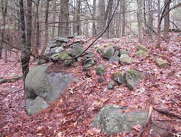
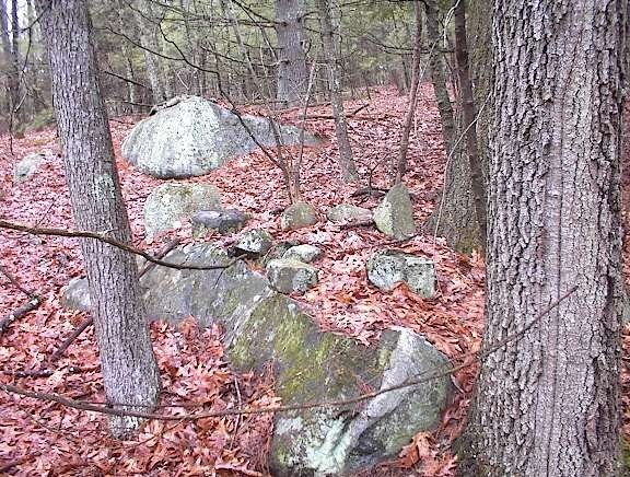
 Here are some of the other piles from down in there:
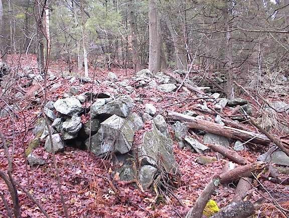 You can see they show signs of having underlying structure. Were these originally ceremonial piles which were then dumped on, perhaps during road building. The last one has a wild look to it; I wonder what happened to these piles?
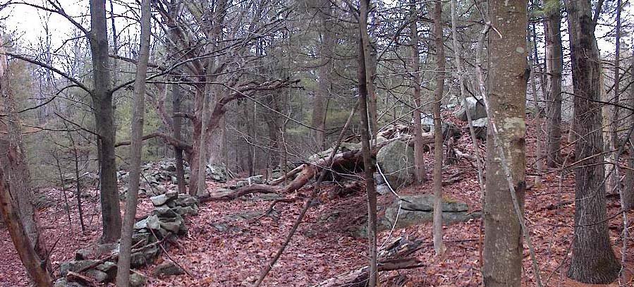
As I was climbing back up to the car I noticed that the other side of the road looked like it might be a likely woods. I had no excuse not to leave my car parked where it was, cross the road, and explore over there. So I went over there and saw more piles that seemed like they could easily be from field clearing.
 But as I continued, the piles started looking more and more "ceremonial". Things low on slope are more likely to have been dumped on than things higher up a slope. So perhaps it makes sense that as I progressed upwards I was less and less in doubt as to whether this was a real rock pile site. I was getting quite suspicious by the time I saw this combination of piles and wall anomalies.
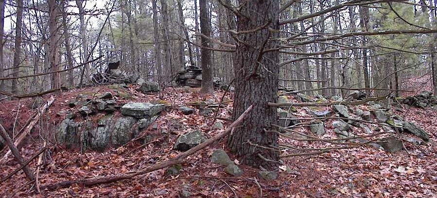 At around this point in my walk I forgot about field clearing and knew these piles were ceremonial.
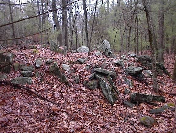
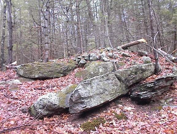 Here we are climbing a hill from the south. The piles were all over that slope. In one place were what I would normally call "platform piles" however with Norman's strictures in mind I will just say that they appear to be broken down plaform piles - with a view down the gully to the right in the pictures:
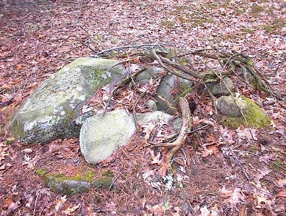
 These piles are facing east or southeast into the gully on the right in the pictures.
Then I came across this totally broken down item. Again, I think this was once a platform pile.
 You can see something white at the lower right edge of the pile. Here is a closeup:
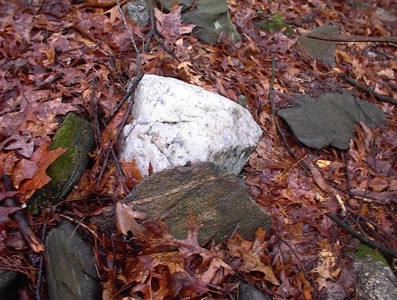 Needless to say, that makes me mighty suspicious. Quartz is so dramatic. Notice also that there is nothing even remotely quartz-like visible anywhere else on the pile.
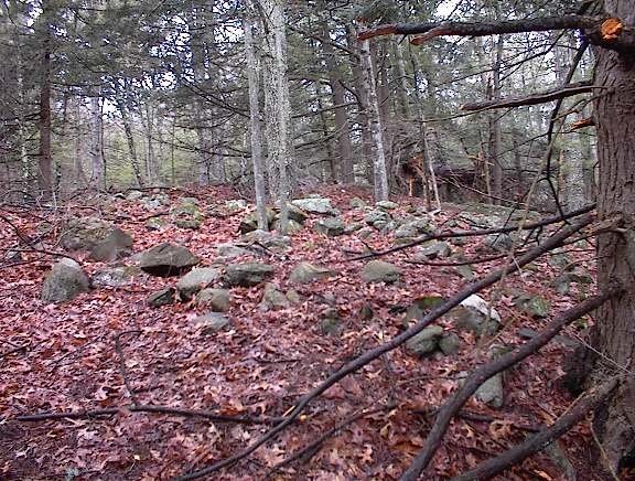
Anyway, I kept climbing and combing back and forth over the slope. I came across the first of those "serpents" described in the previous post. Found more piles, found another serpent. Avoided a few residences which I was beginning to come up to, reversed direction and started back down. More piles and growing paranoia about being observed tresspassing. And then out.
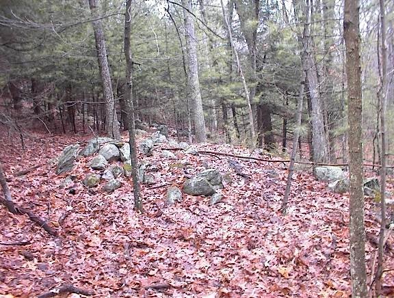
 As I pass one that I saw on the way in I notice it incorporates a rusted piece of iron plate.
 I cannot really describe this as one particular type of site. Evidently it was part of a farm until pretty recently. But as I went I became convinced that this is the sort of farming on top of ceremony which I rationalize as the "Indian Farmer" - someone doing farming but retaining ceremony in the piling of rocks. The hodgepodge of different styles of piles here - broken down platforms, large effigy-like piles (see previous post), small piles packed into a space between rocks, these suggest several different traditions of pile building including but not limited to an "agrarian" one.
2 comments :
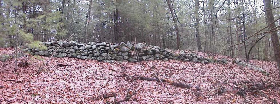
In the background in some of these photos, I see those very long "rock piles" some people call stone walls (altho they don't connect a floor and a ceiling), stone fences, or stone rows that I think might be fire breaks in the old Indian land use scheme. Do they form squares like Europeans are fond of, or are they irregular and possibly ancient resource areas that Native People might have been managing? Are the piles in a "protected from burning place" defined by the stone rows, sort of like the mound swamp you, Norman and I once visited??
Embarrasingly oblivious to those details over here. Usually an acute or obtuse wall corner sets of alarms but I did not notice anything. The walls were not edging a swamp except possibly in the first picture. My thought was that this was an Indian farming area and the walls would presumably be both ancient as well as more modern.
Post a Comment