Boy! Three weeks go bye and I cannot remember where I took the pictures. Ah yes! An undistinguished "ridge line" site in Boylston, which could be a pathway, or perhaps a marker pile site. It was a great deal like
a site in North Andover - where there was a distinct feel of a pathway up from the water. As I review the pictures, I see there was a path way down to the water (cuz I started at the top).
A few pictures. Crossing a couple small ridges, I spot piles:
Up close on the ridge:
Then over and down
Heading down this way:
To a house foundation:
That was down to the western part (of the lower blue outline on the map) over by the water and, presumably, access to the site on the ridge.
Heading back a little further east, a standing stone:
I could believe this was a property boundary.
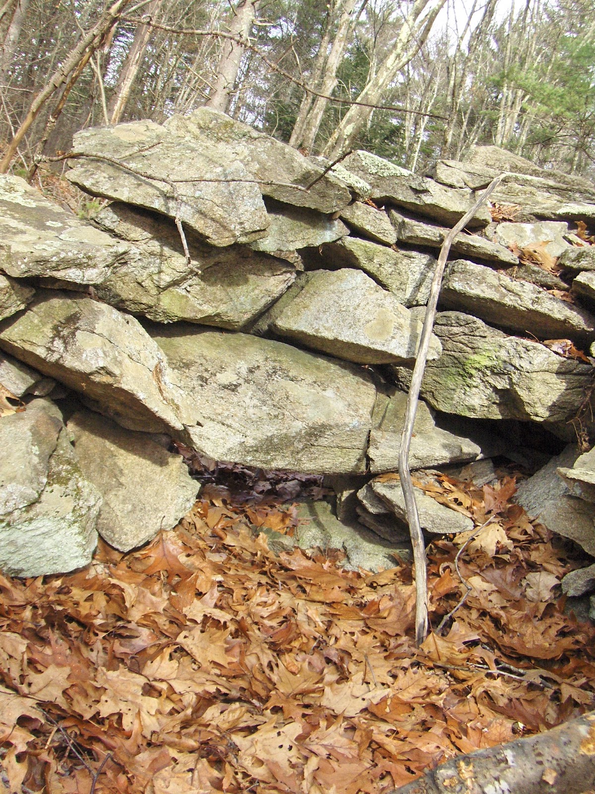
Then a bit further east, following the little brook to the north, not sure exactly where. Saw some interesting stonework in the wall:
Closer, a weird culvert:
And a few decrepit mounds:
Already barely recalled.


No comments :
Post a Comment