 Found both pieces and glued them together.
Rock piles from Bolton:


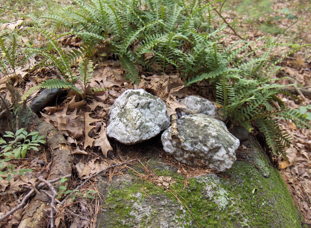
 Found both pieces and glued them together.

 On a subsequent visit Larry removed some of the leaf litter and snow cover, revealing a possible Manitou stone below:
 Recently Larry returned to the structure and removed even more of the leaf litter. This time even more of the structure was revealed below:
 The following photograph gives a closer look at the collection of interesting rocks in front of this niche. Most interesting to me is the use of triangle symbolism at the base of the structure:
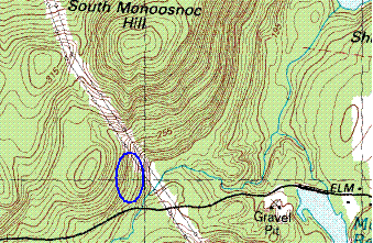 I had been hoping to go explore south of South Monoosnuc and had been hoping to climb that sucker. I drove in along Elm street from Leominster and could see I was getting up near to one of the prominent hills that you can see from Rt 2 going west before Mt. Wachusett. So it was nice to drive up to the foot of it, passing under the power lines and parking just west of where the brook crosses the road. There is a forest "fire road" entrance northward and I walked in along that.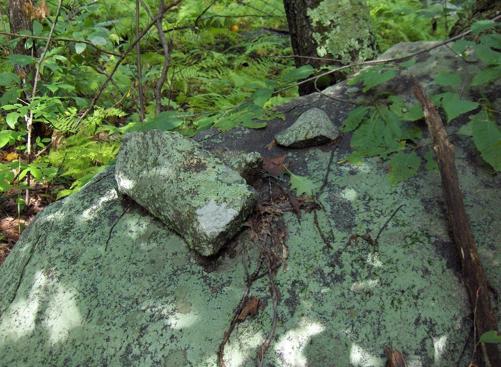
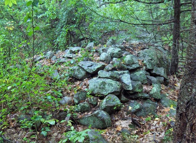
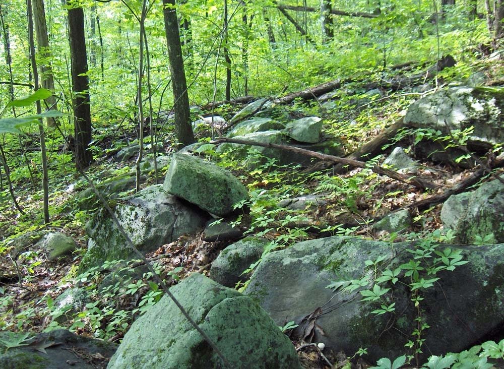 Whatever happened here is tumbled down and spread out. But the site reminded me of the one in Westford along (is it?) Rt 40 which I called a "typical brookside site". Well this was not exactly near a brook but the topography is very similar to the place in Westford. So I think this is yet another example of a particular type of site. Not a marker pile site and not a large mound site.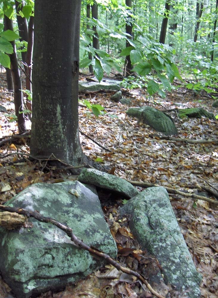
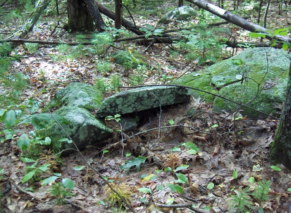 Later in the walk, at a slightly different part of this slope, closer to the power lines, there were several more substantial piles. These are effigy-like to me: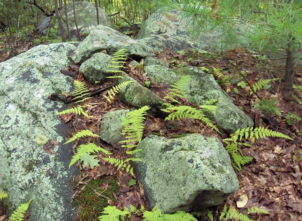
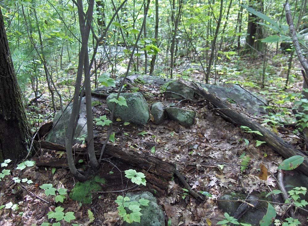
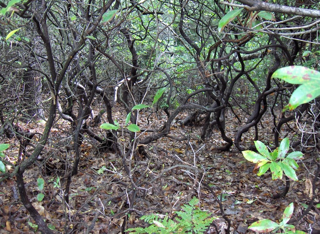 Click on the picture and take a closer look. That is what meets the eye. You cannot walk through that stuff. I walked along looking for an opening and thought I found one. Went in about 2 yards and got completely pinned by the branches and twigs and had to turn around and head back out to the power lines. It was not a matter of being strong enough to continue - you just cannot get through without huge contorsions. Maybe you could crawl if you had to, since it looks a little clearer at ground level. Love that stuff! Then I got lucky and found a place where surveyors had carved a trench and I was able to get up higher on the hill where the mountain laurel gave way to oak and pine trees, rocks, and grass.
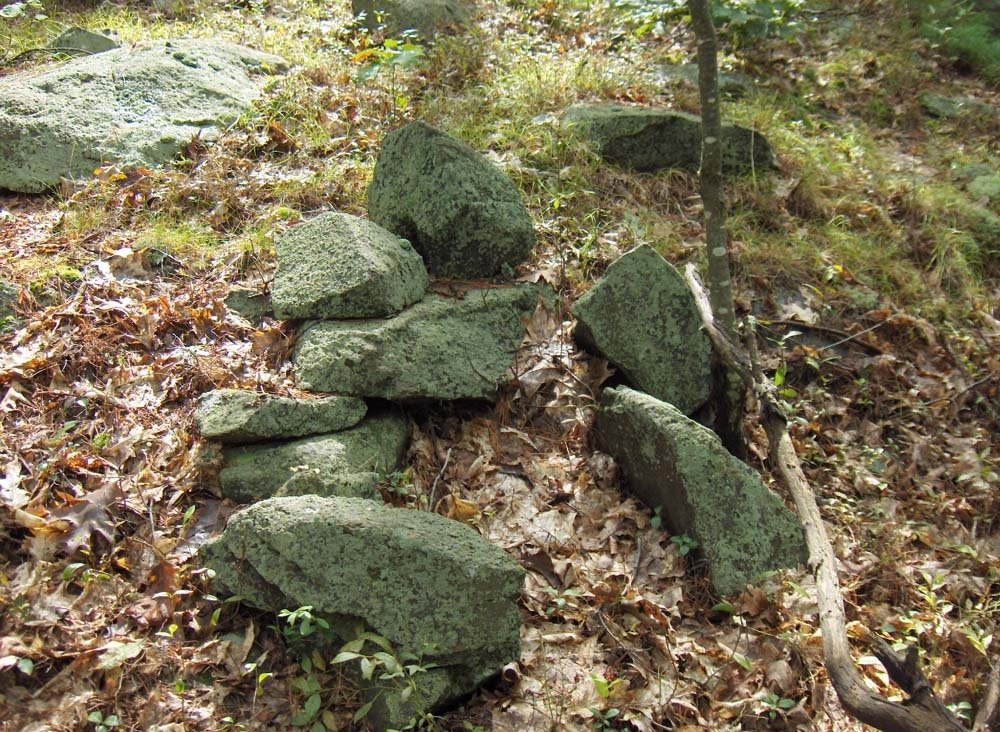 and maybe a rock pile and a wedged rock or two:
 How come this hill, which is larger and closer to Mt Wachusett has so many fewer structures than [see several articles here] I was exploring in the weeks before summer vacation? I wondered about this and concluded that the angle from here to Wachusett is just not right. This might provide a great opportunity to go out an measure angles and come to some kind of conclusion. I headed back south down the ridge of the hill, saw a few things along the way and then headed back out to the power lines and across to the slope of the hill I had explored earlier. ...
 Above is the huge cairn that we talked about extensively before. It was such a lovely photo of this enormous pile and some of Bob's farm that I just had to share it with all of you.
 Above is a rock pile we have not seen before on the blog. Sure looks like a turtle to me.
 Above is another large cairn we've not seen before. It is also built at the corner of two stone walls. But there is something very special about this rock pile -- it holds a feature that I personally have never seen built into a cairn before.
 The above photo shows that special feature. Built into the middle of that large rock pile is this round well-like structure. What was it built for? Did a tree once grow there? Was it put there for offerings? Was there something special on the ground there? What are your theories?

 I see signs of internal structure in this, meaning the hint that it might have had an inner chamber.
 Finally ....on top of an outcrop..., was this nice pile which is built against a boulder:
 I do not know if this nice pile is of the same style as the one across the pond was, before it was broken down but these are very different piles from what I was calling "marker piles" and reporting on yesterday.
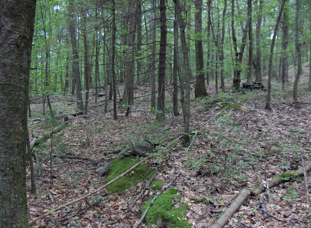 Here we see three piles in a row leading from the foreground off to the upper right. You can also see these piles are about the same distance apart. Other piles in the background to the left suggest this pattern continuing.
 Here are a number of examples of piles with a vertical face. What may be less clear is that these piles have only one vertical face. The back and sides of the pile are not vertical and, given this structure, there is the strong suggestion that the purpose of the pile is to provide that vertical face at that location - and what structure is there in the rest of the pile is not important. Another possibility is that the vertical face creates height for the pile and allows a stone on top of the pile to be located precisely.
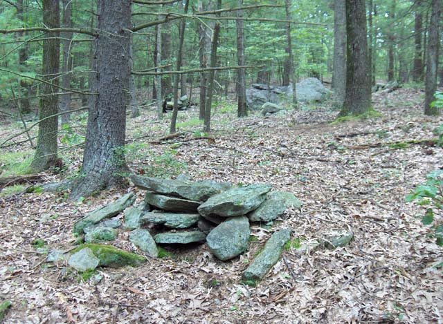 Finally, mixed in with these vertical faced piles and piles with pointer rocks are a number of low ground piles with quartz and burnt rock:
 [The quartz is the white rock, the burnt rock is the one to the far right.]
 Here is a picture that shows both a pile with quartz as well the kind of layout you see at a marker pile site.
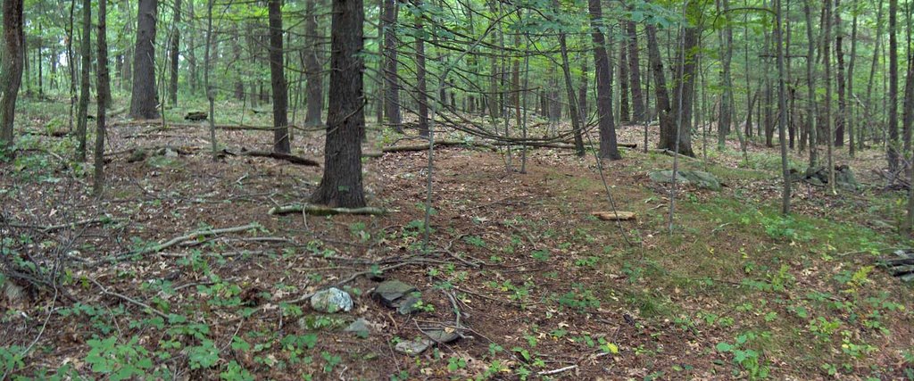 I wish I could put it all together and say: "see this is what these sites were for...". But I cannot. I suspect that burial was involved but perhaps these are memorials rather than graves. I think the burnt rock came from a fire or fires which were made at this spot with the rocks used afterwards for rock piles. I think the lines of equally spaced piles have something to do with sky watching and, to be honest, I do not see how these fragmentary fantasies add up to a sensible activity. I do know that marker pile sites, as I have tried to define them, are by far the most common type of site in the Rt 495 corridor around Harvard, Boxborough, Stow. The more classic site mentioned in Manitou is another example, and up and down this valley of Beaver Brook, there is one after another of these sites - some in good shape, some all broken down; like what is left of 500 Cairn Hill, a mile or so down the valley. Also this example from Stow.
 You see a couple of placed rocks (behind the hanging vine in the picture).
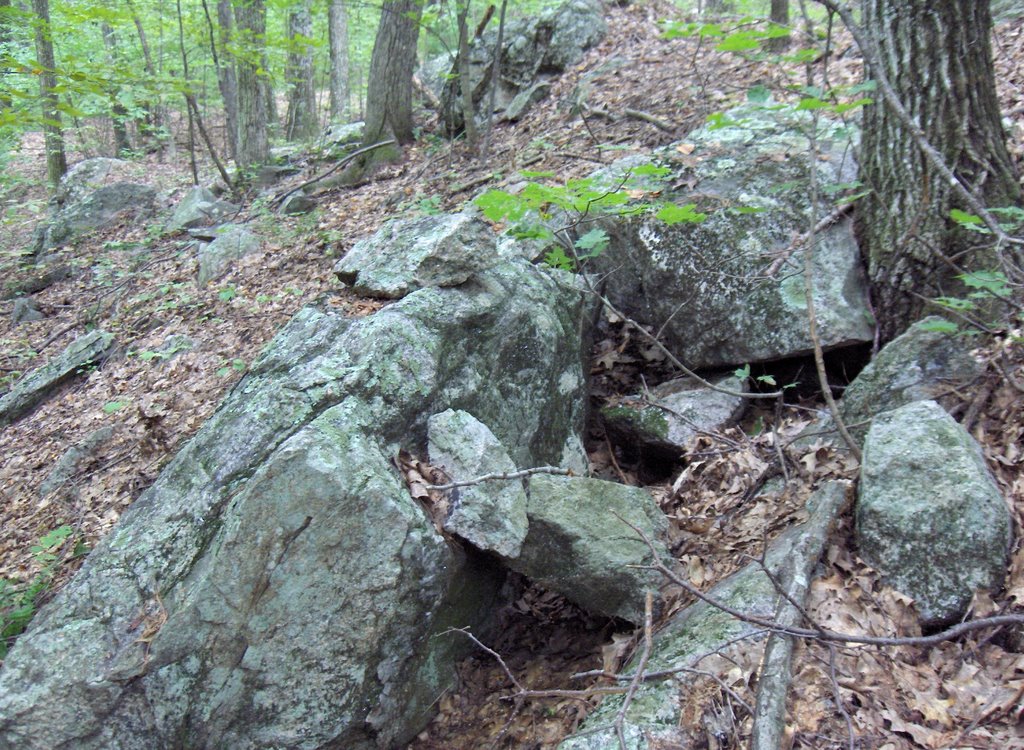 If you look carefully there are several placed rocks here and they create a sense of enclosure. But if we imagine someone sitting there, they would either be looking at nothing or else looking through the hole underneath the two placed rocks in the foreground.
 And then along the curve of the brook were two small rock piles, broken down and falling into the brook but still with a little structure left visible.
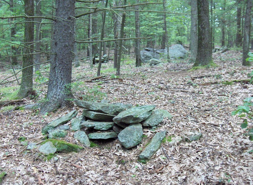
 I notice that each of these piles has one or two chunks of quartz in them. This is a pure and simple site: two rock piles next to a brook, each pile with chunks of quartz.
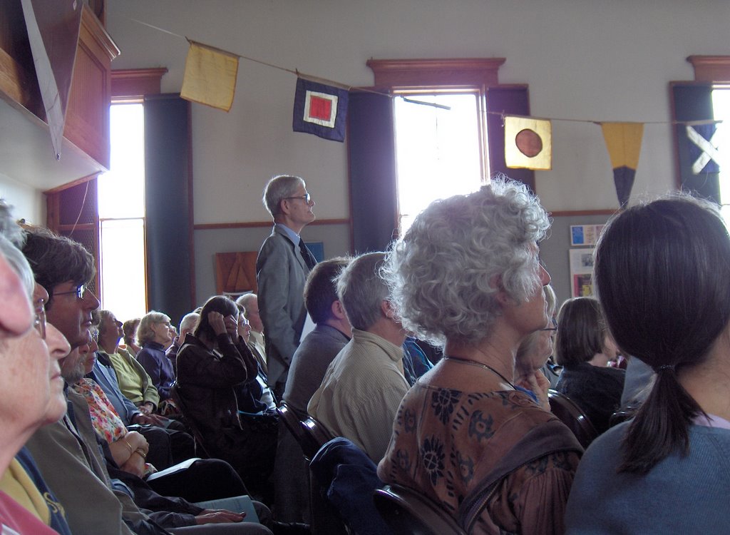

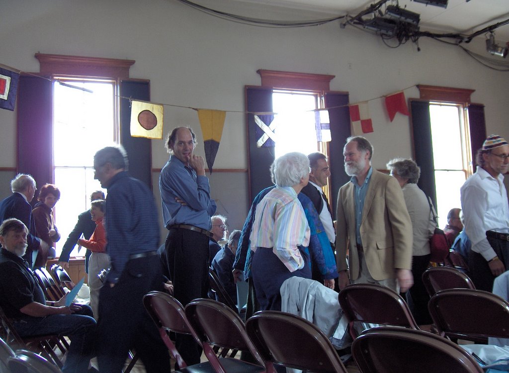
 I was told that Cheryl Maltais from the Gayhead Wampunoag was going to be there but I do not know what she looks like. There were also many familiar faces from Woods Hole.



![[Click here]](http://images.google.com/imgres?imgurl=http://www.harkarkom.com/images/W05914.jpg&imgrefurl=http://www.harkarkom.com/Gallery.php%3Fimage%3D55&h=390&w=261&sz=13&hl=en&sig2=KFgSKWUO5v2xfFN0QhWcoA&start=29&tbnid=lwL71JgcJ_rRMM:&tbnh=123&tbnw=82&ei=ELQBRcqDKLu2wgGy7eiUBQ&prev=/images%3Fq%3DStone%2BHeaps%26start%3D20%26ndsp%3D20%26svnum%3D10%26hl%3Den%26lr%3D%26sa%3DN)