 Started exploring Brush Hill in Sherborn. The red outline shows where I looked (on a Sunday walk with my wife). I found three clusters of rock piles in that portion of the conservation land. But Sherborn is a bit of a haul from Concord and there are other places to check. I would be very surprised if there were not also some sites in other places nearby, such as outlined in green. Someone else want to finish the job there? For the most part, what I saw was, by now, a bit routine: piles consisting of a few cobbles on support boulders on the northeastern slopes, a few more piles on boulders near the top, and then marker piles down in the dells and knolls to the east of the hill. Let's take a look at the first two clusters. Climbing the hill from the east, I saw a rock on rock,
  and saw more and more minimal piles as we got closer to the top of the slope. There was a preponderance of pairs, or piles with a small number of rocks on a support. Many times some of the component rocks were shaped (this is a familiar "cashew" shape):
 or broken with the suggestion of deliberate shaping:
  Here it is again:
 (Note this same shape, in the first picture above, so there were at least three occurrances.) And here is another shaped rock; another "cashew".
  Long ago I wrote about rock piles with pairs, calling them "twins" and wondering about this shape - cashew, boat rudder, asymmetric manitou. I remain convinced this has a particular meaning.
 Bright light and shadow and a camera that is starting to go, lead to sort of washed photos:

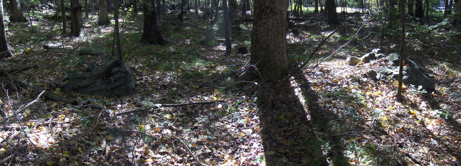
 The colors were a lot richer in the original.
OK. Now at the top of the hill and a bit on the far side, right behind the houses, were a few more piles:
 Closeups:
 There were a few more piles up there. Then we headed down and east, as I'll describe.

No comments :
Post a Comment