First I went into a hollow directly northeast of the tower and found one pile at the foot of the southern slope. This is consistent with the pattern of pile placement I described earlier in "Anatomy of a Kettle Hole". At this site the pattern was reduced to just one pile. Here is the canonical picture:
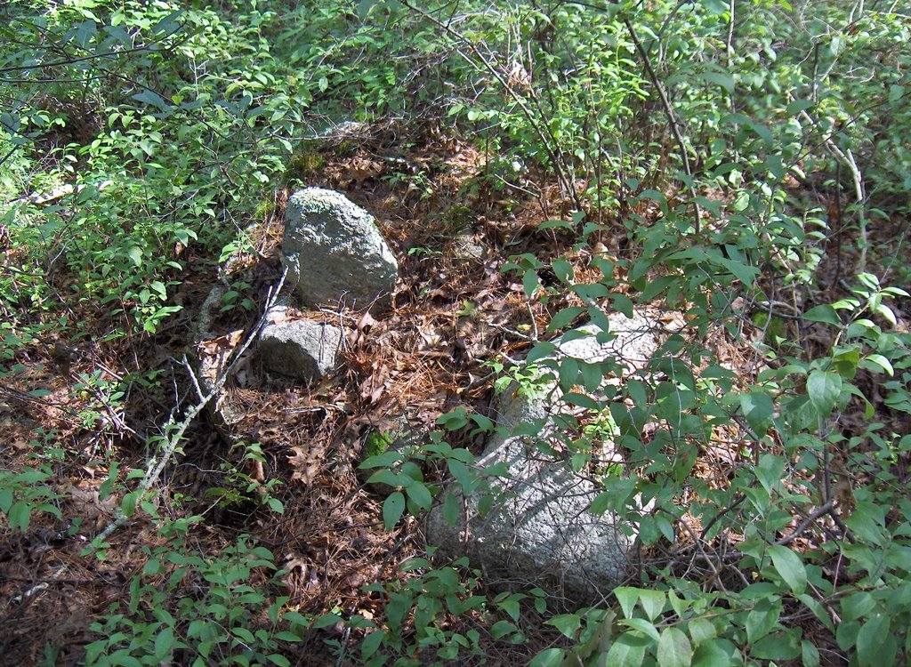
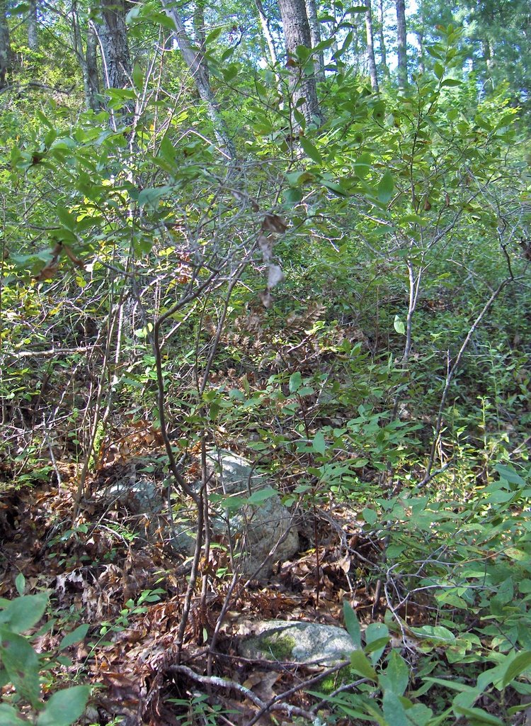 In a saddle between this hole and other low places, there was one rock-on-rock. Both it and the first pile were quite deeply buried and nearly invisible. That was all I found northeast of the tower, and the patch of woods there is not as big as I thought. I soon found myself up against the backs of houses.
I climbed back uphill to where I parked on Firetower Rd. and proceded north a little ways until there were two trail openings leading west and downhill. I took one and it led back into some of the kettle hole sites I found before. So I headed out in a direction I had not been from there and got over into a slightly different part of the woods, when I spotted a rock pile across a shallow valley, almost a small kettle hole.
 This pile was built up on a boulder sitting on the northeast side of the hollow. There were several other boulder piles there. Like this one:
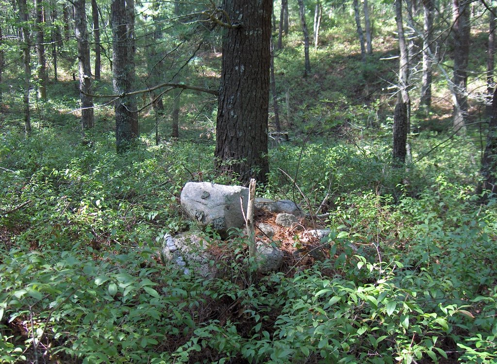 The view is to the west across the hollow. Notice the quartz vein in the support boulder. And there was another one, looking out over the hollow:
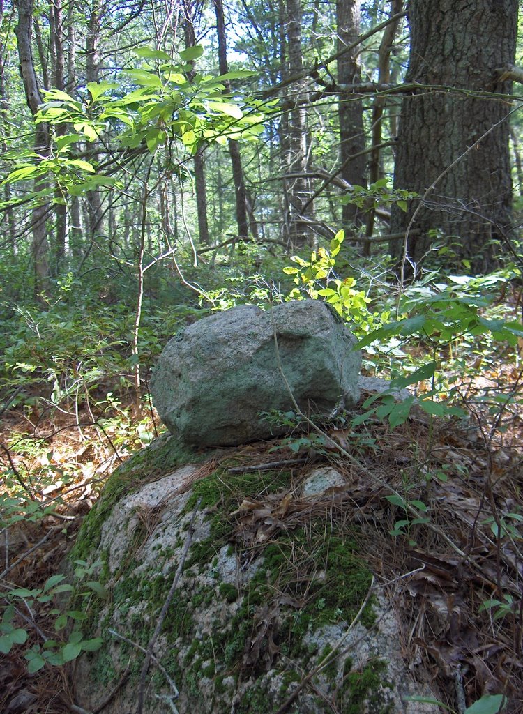 These piles looking out to the west and southwest over the hollow, each supported on a boulder, and each having one larger rock with smaller ones in support, these characteristics are not part of the standard kettle hole pattern. So perhaps this is a different kind of site. The presence of one large rock with smaller ones, all on a boulder is reminiscent of effigies, although there were no well defined symmetries. The piles are like a number of animals (perhaps turtles) looking out west and southwest over the hollow.
But then down in the bottom of the hole, at the southern edge of the hole was one larger domed ground pile - not on a support boulder:
 The view here is to the northeast back towards the piles just shown. The larger ground pile is in the foreground on the right. This pile is more the standard pattern, of a ground pile on the southern side of the bottom.
As I explored around the hole I found other piles on the eastern side of the hole, and a couple up on the rim of the western side. This one, for example, is right next to the conservation land trail (a "White Spot Trail") but I missed it when I walked by the first time.
 So here the piles surround the hollow. Most are supported on boulders. One ground pile appears at the southern end of the bottom of the hole.
In one way this is a standard kettle hole site: the (only) pile at the bottom is a ground pile but all the piles up on the slopes or at the rim of the hollow are piles built on support boulders.

No comments :
Post a Comment