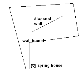
 Here is a photo of the nearly parallel walls at the bottom of the "funnel". The concavity in the hill is to the upper left in this picture:
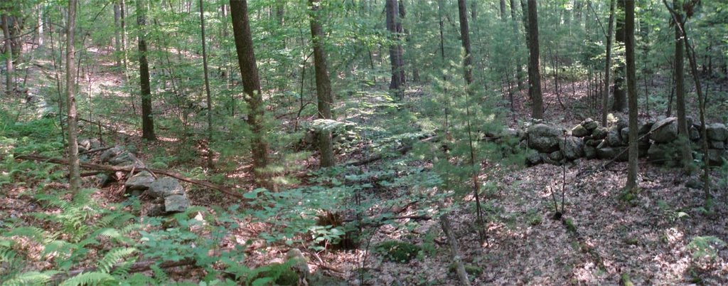 Here is another view a little higher up:
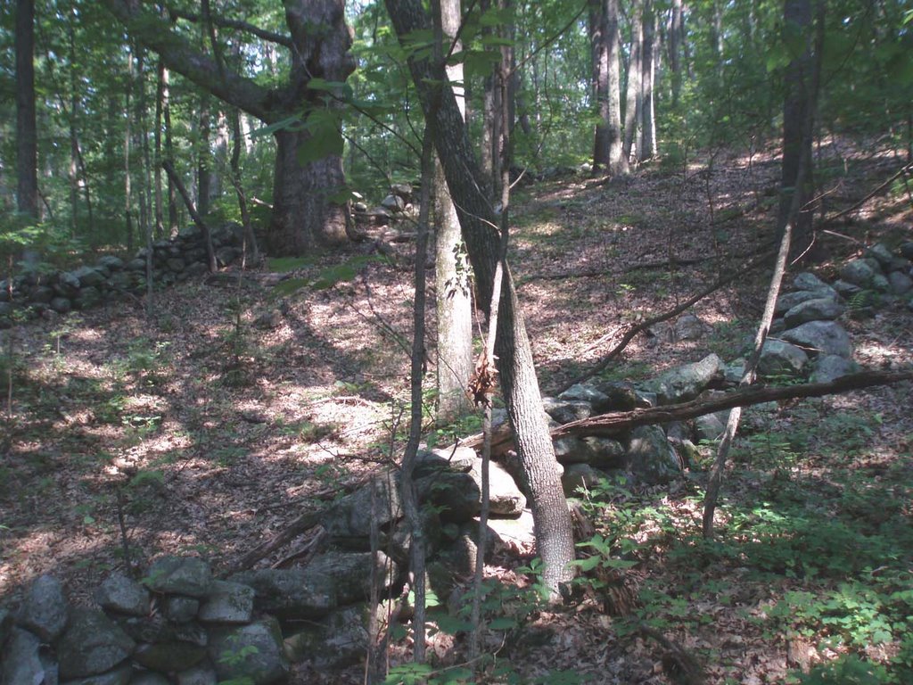 Here is a view of the diagonal wall:
  And here is the spring house located at the bottom of the funnel:
  These structures suggest a clever arrangment of wall and well. There is at least one other funnel like this on the hill to the northwest.
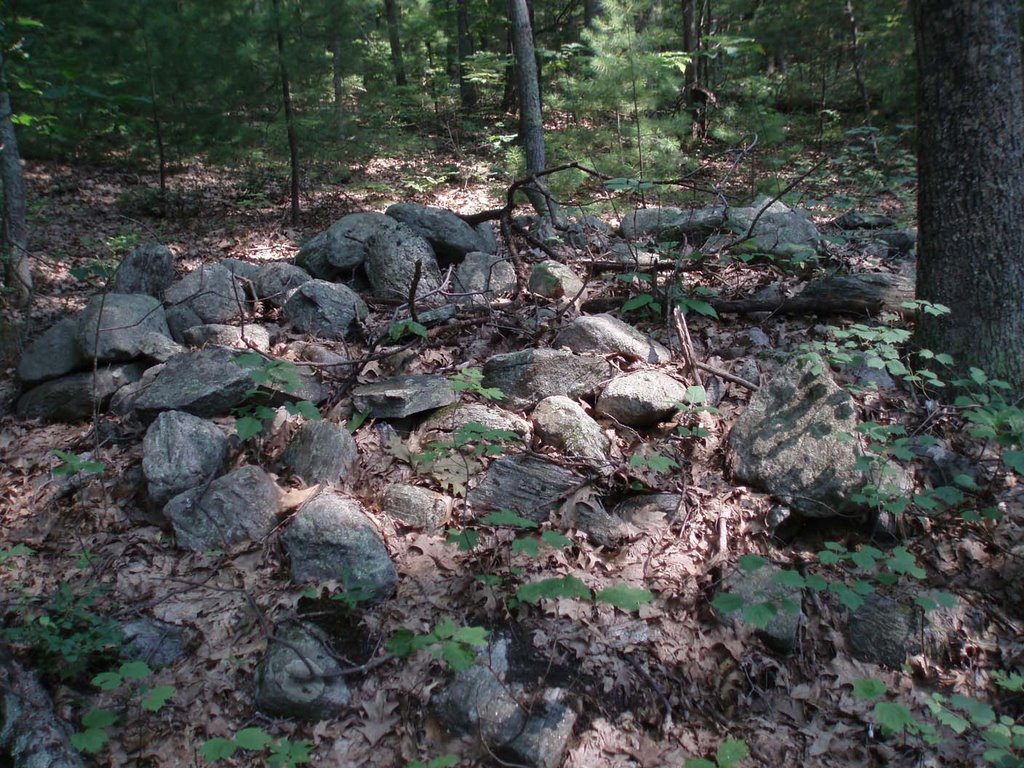
The top portion of the funnel, higher up on the hill where the slope begins to level off, is entirely filled with fifty or so rock piles. I have always thought the piles were looking out over the lip of the concavity but actually there are two clusters of piles, one along the lip and another higher on the hill. The piles in the lower cluster are mostly ground piles while, higher on the slope, the piles are more often supported on small boulders. Here are some ground piles:
 In the lower cluster is one platform pile:
 This pile is larger and might have had a flat upper surface. Perhaps a large portion of the site is visible from this platform. This would be consistent with the idea that piles higher on the slope would need to be taller in order to be visible from a point part way down the slope.
Here is a panorama from up near the top of the site. You can see the piles are pretty closely packed in there and are mostly broken down.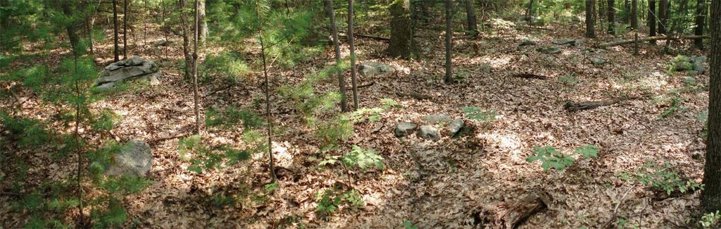 I'll put some other pictures of the piles in the upper portion of the site in the next post.

No comments :
Post a Comment