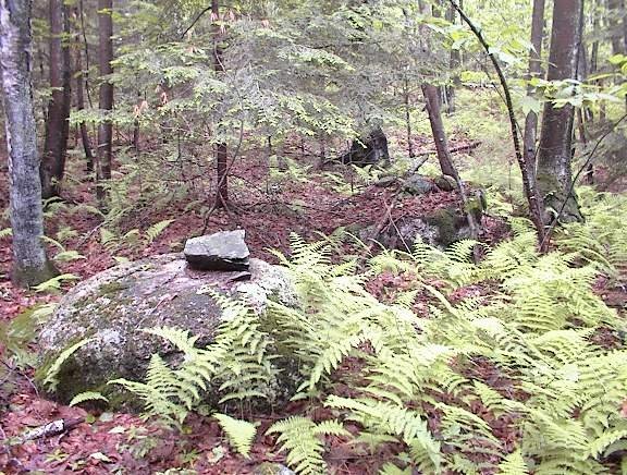
 This is very reminiscent of a rock-on-rock I found at the top of the site on the eastern side of the hill of 500 cairns [Click here]. Anyway, looking down from this spot there were other rock piles visible. Down and to the right I could see a pile next to the conservation land trail:
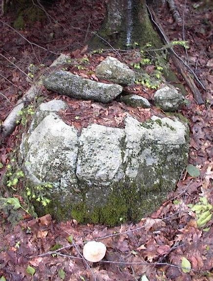
 To the right, an outcrop (visible in the background of the above photo) ends in a tumble of rocks down to a stream. There was not much in that direction except for that nice moss-covered split-wedged rock [Click here].
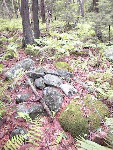
And to the left, down the notch separating this smaller hill from the larger one where we started, I could see some other piles and rock-on-rocks. Down that way I came into an area with large ground piles built with large rocks. Here is one view:
 Here is another - a panorama showing about five piles in the ferns:
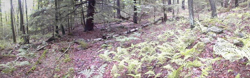 I believe these are old knocked over piles. You may be tired of hearing about "marker piles" (click here) but, in the end, that is how I would guess this site should be classified. I was thinking that the number and size of constituent rocks in a pile remains unchanged when the pile is knocked over. So the only argument which could indicate a similarity with other, less damaged sites, would be based on counting and sizing the rocks in the piles here at this site. In particular, these dimensions reminded me of the Acton grid [Click here]. But I did not do any counting or sizing. Too lazy I guess. Anyway, it is very intriguing to imagine that the clusters of piles found on these Poor Farm Rd hills, are all loosely connected with lines of rock-on-rock. So we could call it one large site or several inter-connected smaller sites.
It is such a treat to see new piles.
 These piles seemed to stretch out across the hillside, all at the same level. I would call it a line of rock-on-rocks joining together this first cluster of piles with another; but it was not just rock-on-rocks, some of the piles had multiple rocks:
 Actually, also below this imagined line there were other piles down to the stone wall at the edge of the wetland. Aside from that, following the piles across the slope (still going counter-clockwise around the hill but now heading north) led to some nicer piles up on support boulders:
 And finally over to the nicest view of the day:
 This is as good as it gets for me. The tranquility of the place contends with my excitment about finding it.
Note the stone wall in the background of the above photo. It ends right there, behind the evergreen, and it has a curious termination. Here we are looking back towards the piles:
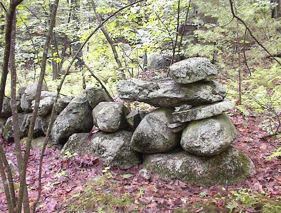 That is a precariously balanced arrangement. Is it related to the site? Hard to believe it would not be.

No comments :
Post a Comment